Valencia Peak Hiking Trail
Montaña de Oro State Park Hiking Trail
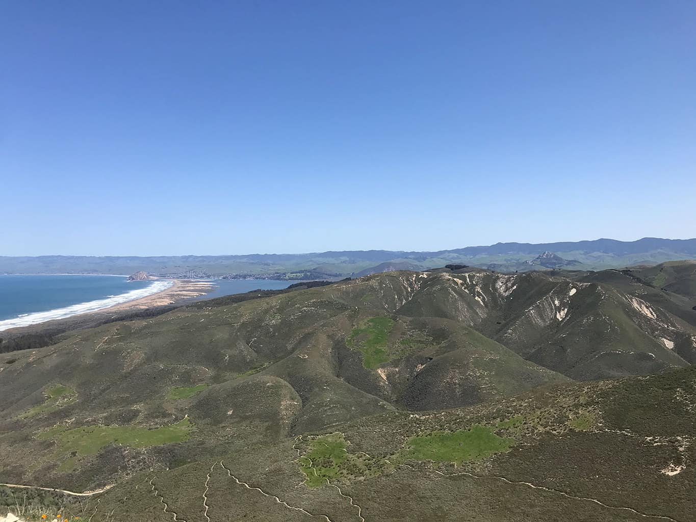
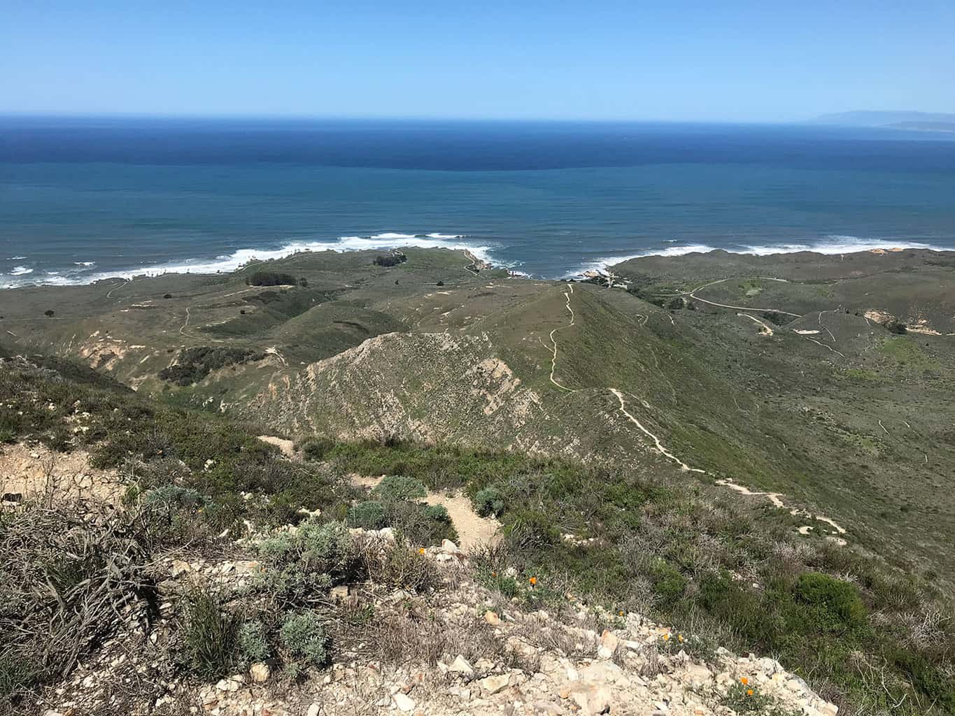
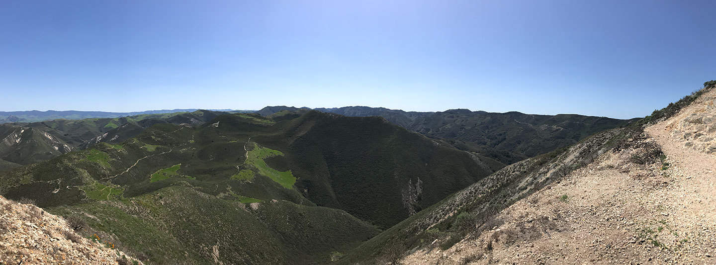
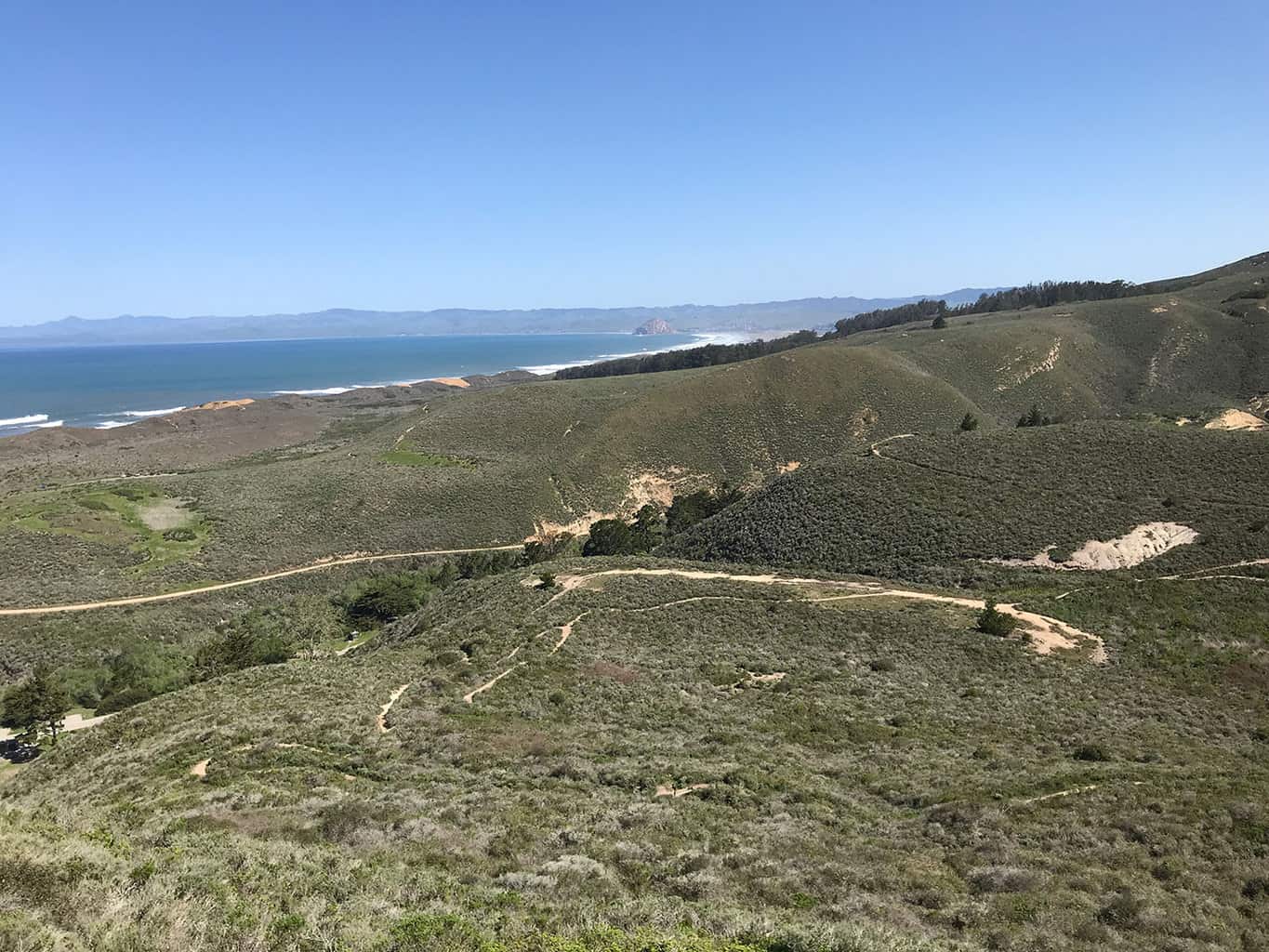
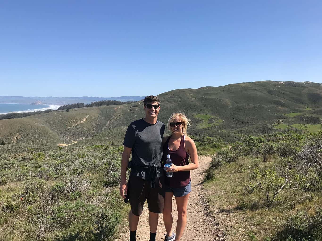
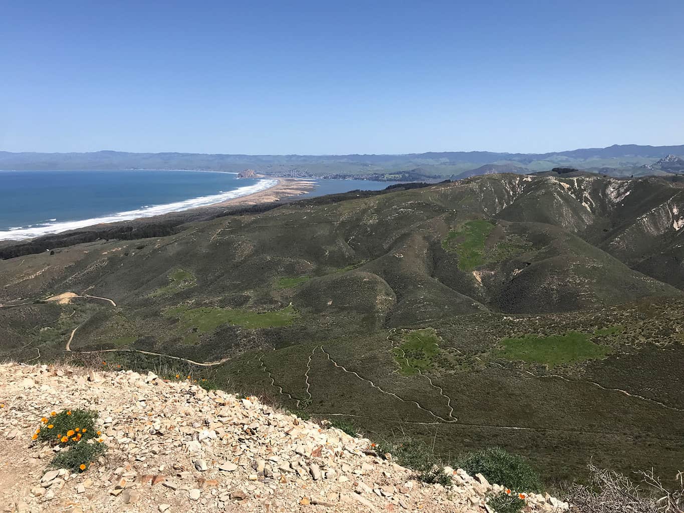
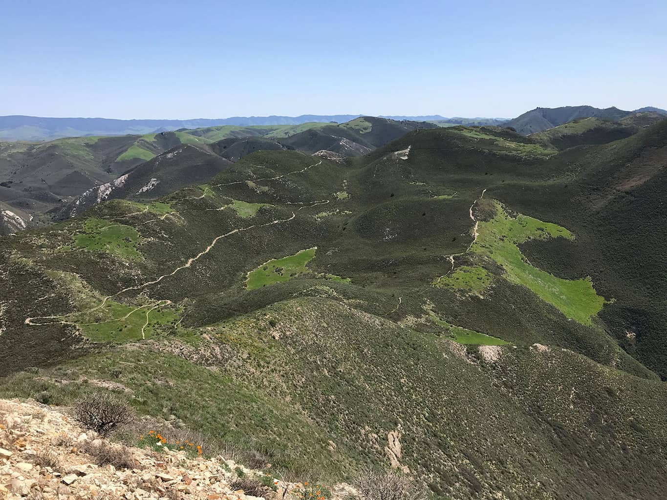
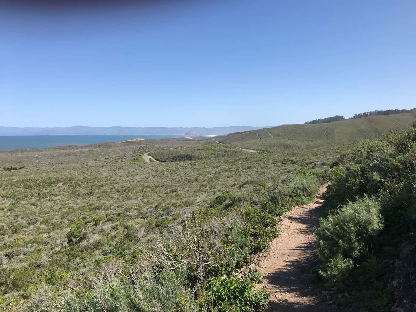
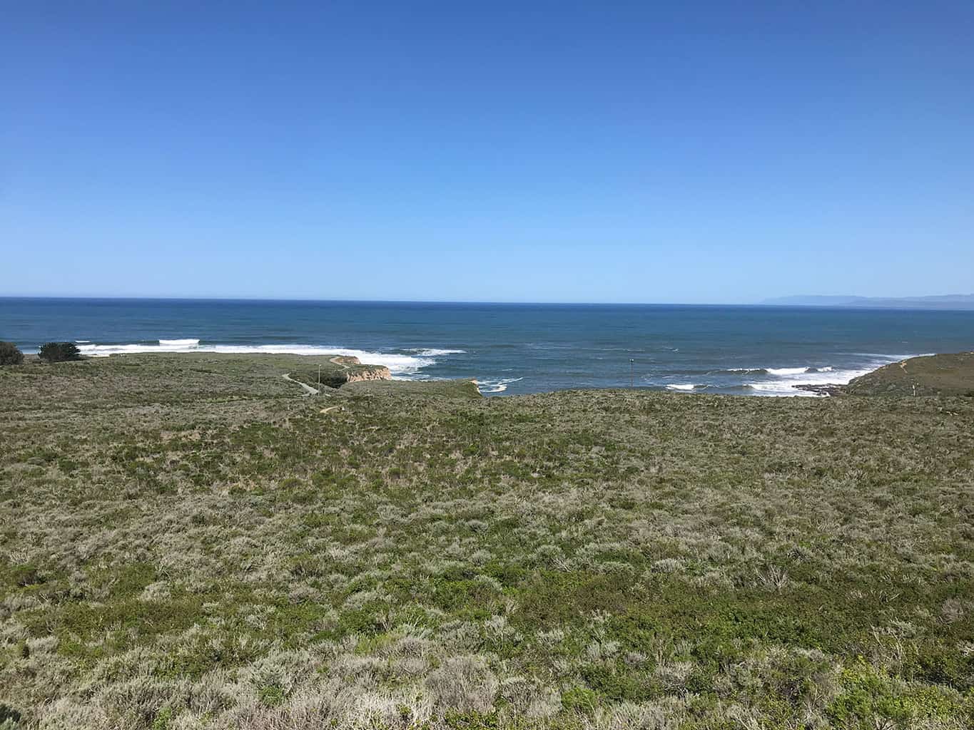
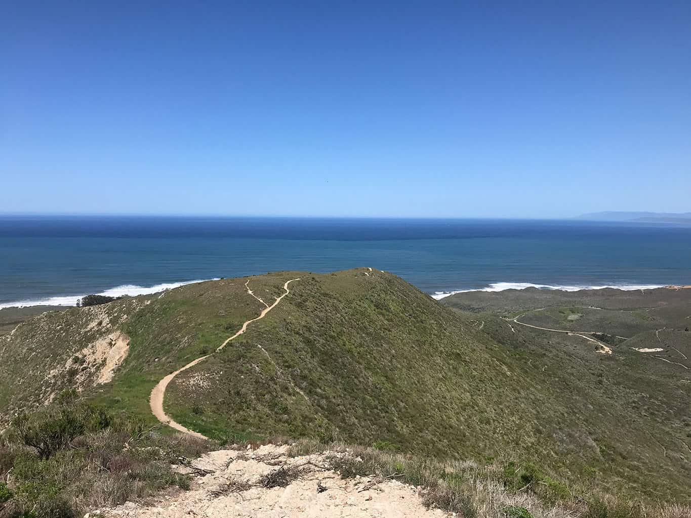
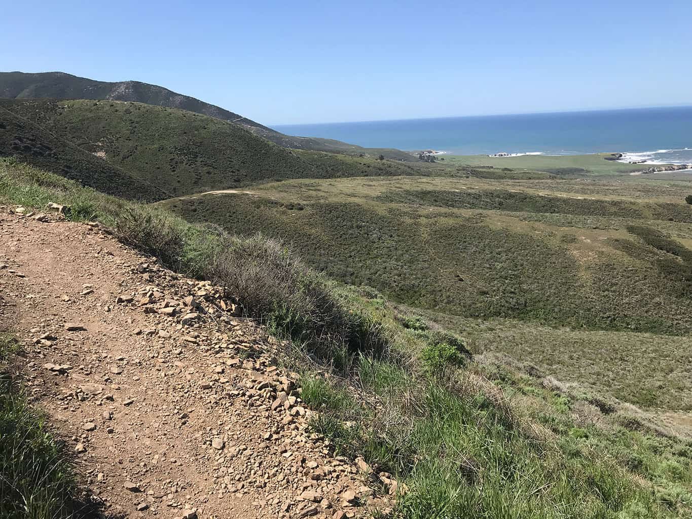
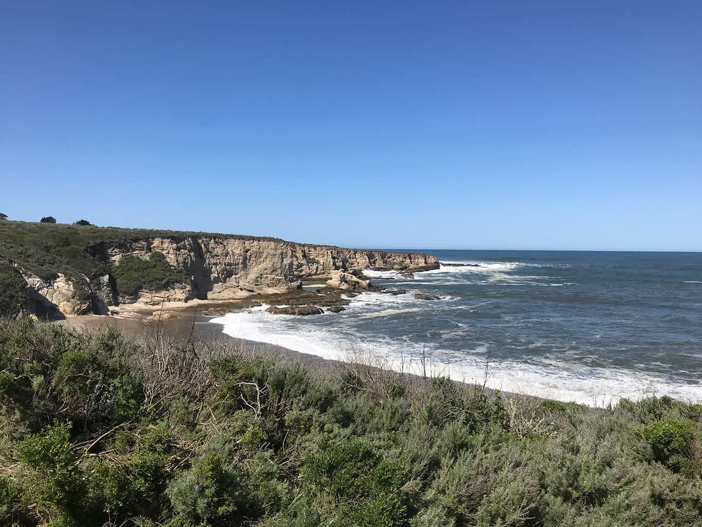
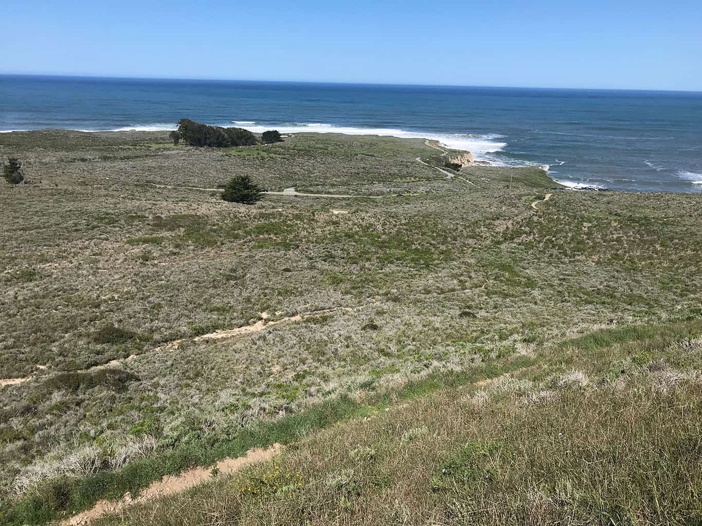
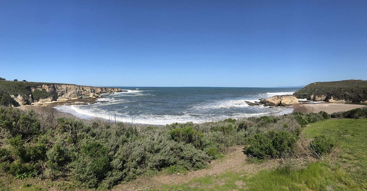
Best Central Coast Hiking Trails: Located 2 miles south of Moro Bay, Montaña de Oro State Park features over 8,000 acres of prime coastal land to explore. For this #GoHikeIt adventure, the team hike the Valencia Peak Trail that provides scenic coastal overlooks of the Pacific Ocean, Moro Bay and the transcending valley areas.
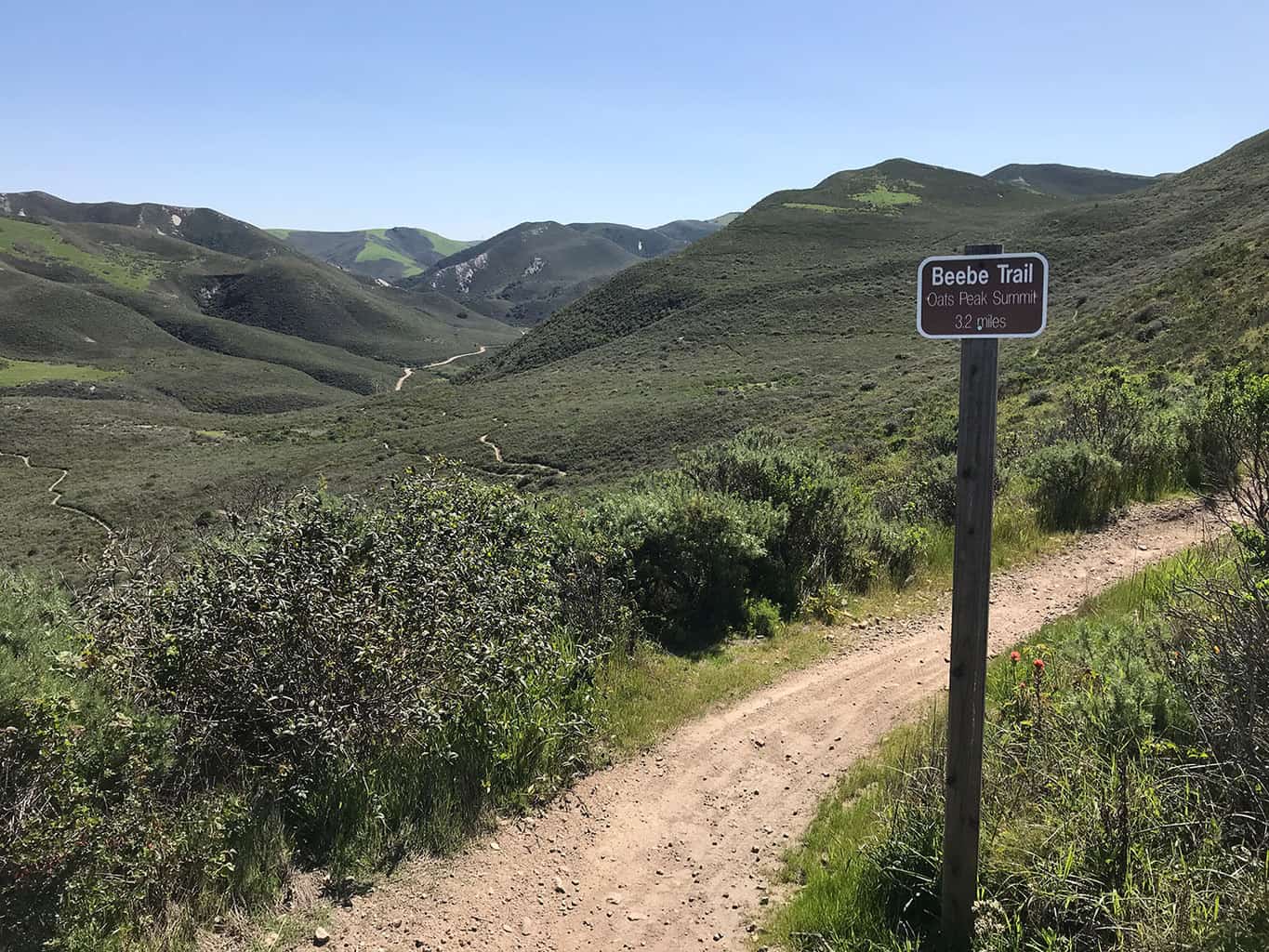
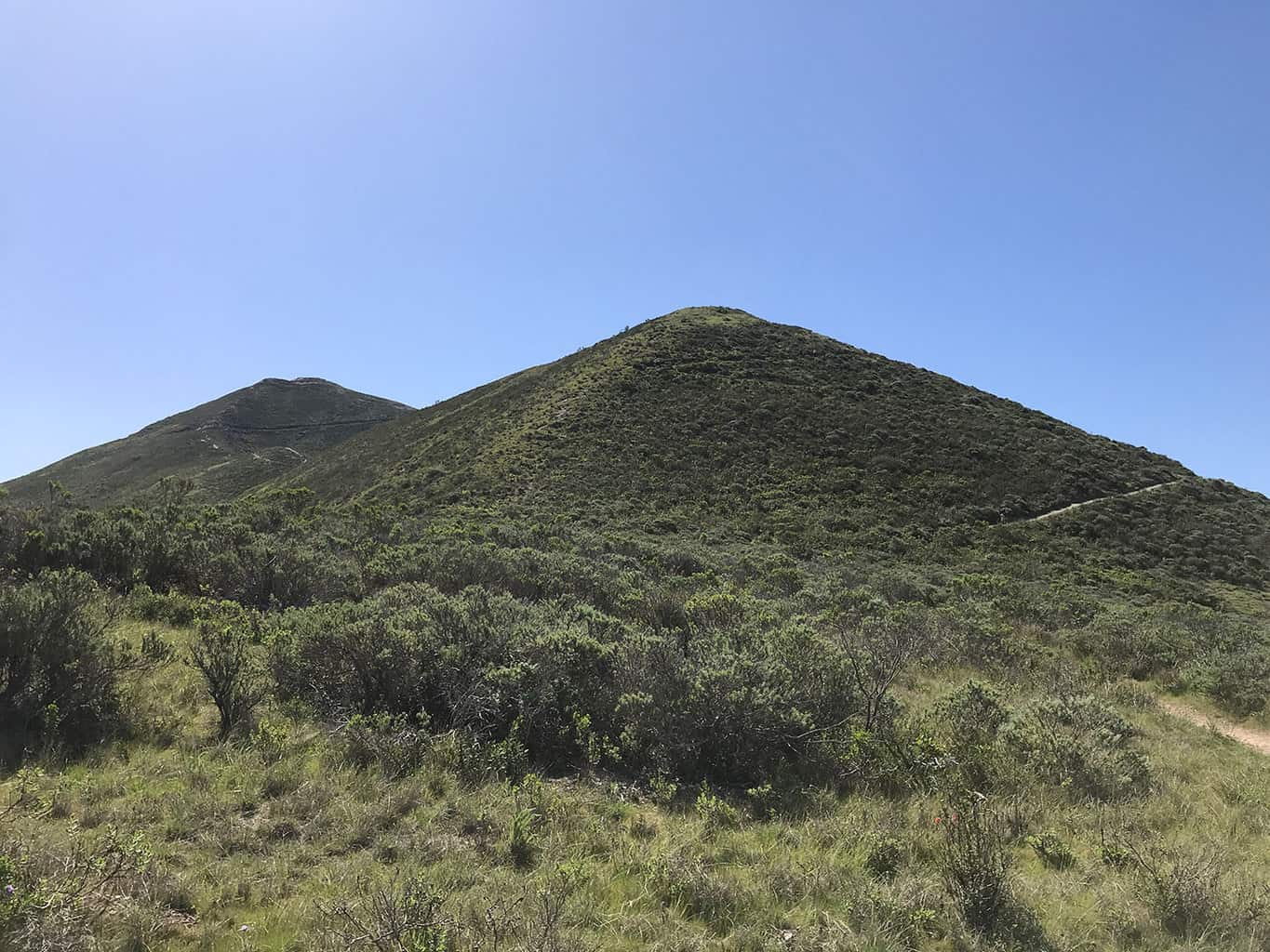
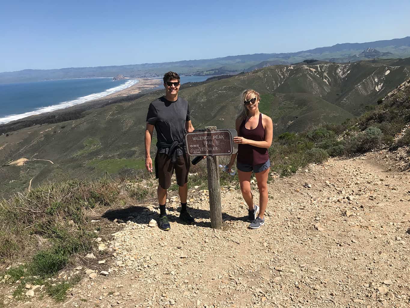
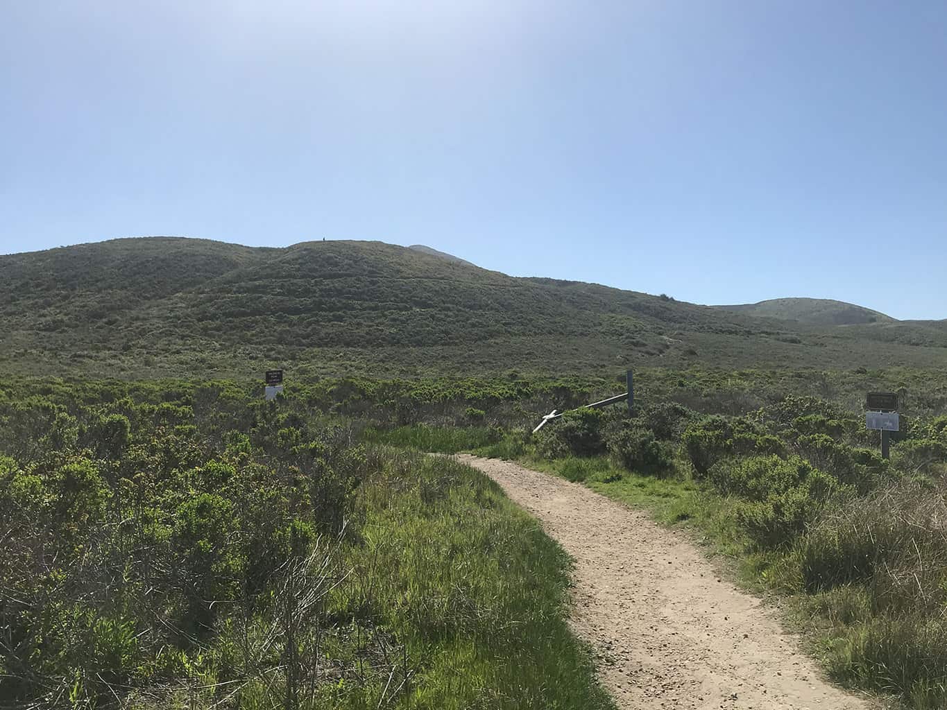
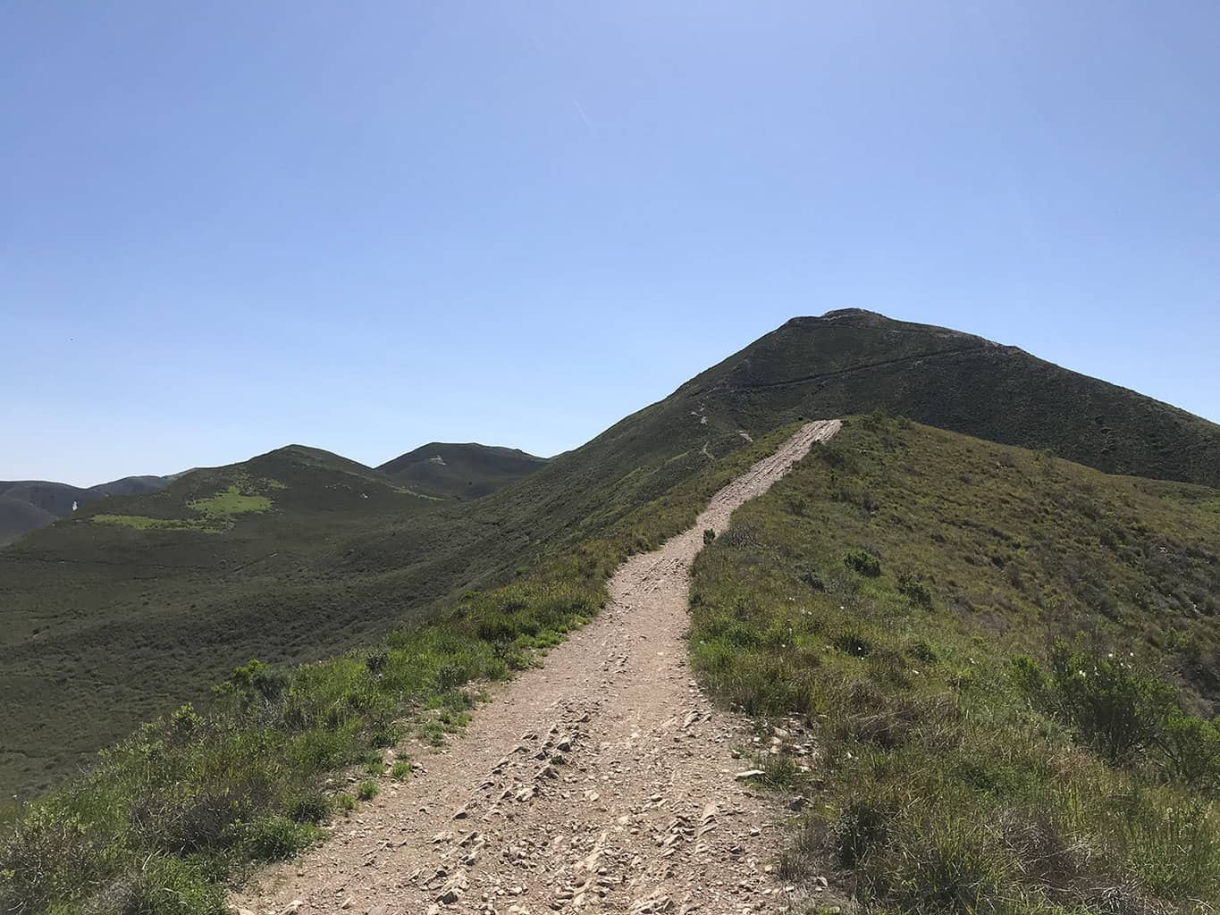
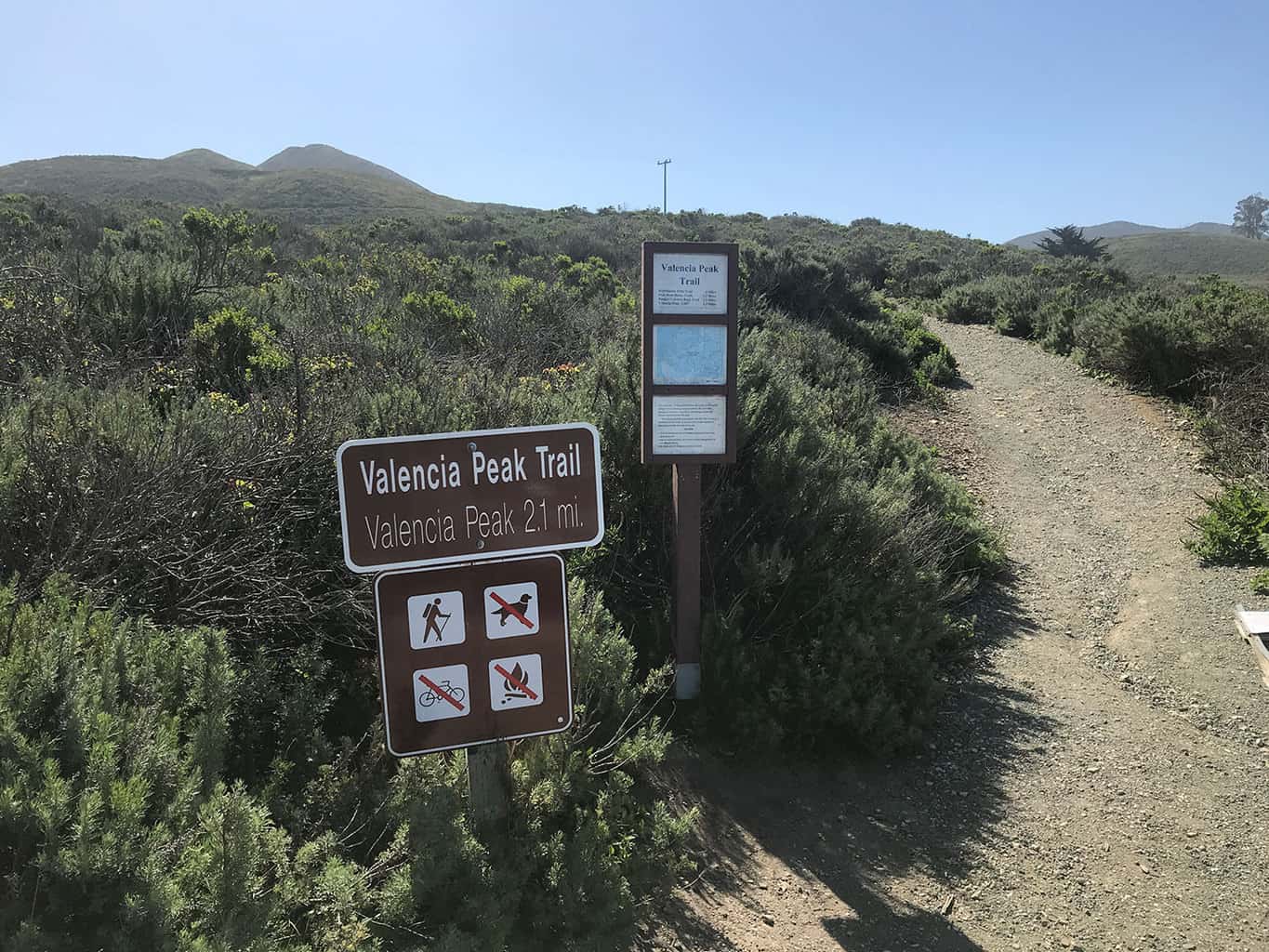
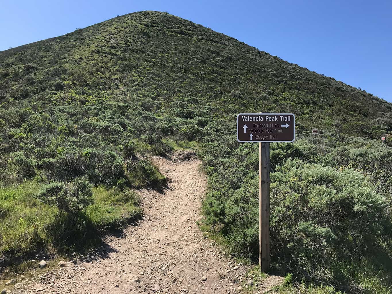
The trail starts near the Spooner Ranch House in the heart of Montaña de Oro State Park. Depending on the time of year, parking may be free. Check with the ranger to confirm. Starting from the Spooner Ranch House, the Valencia Peak Trail crisscrosses its way up to two different peaks resembling ancient pyramids. There is a trail fork about 1.5 miles into the hike. Look for the signs pointing to Valencia Peak.
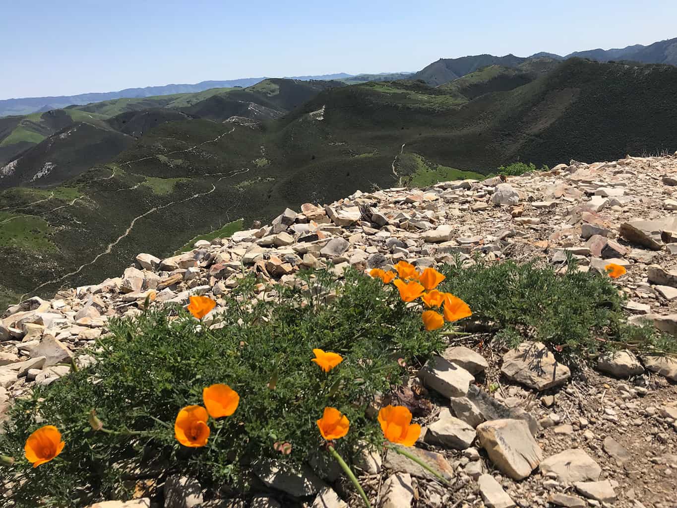
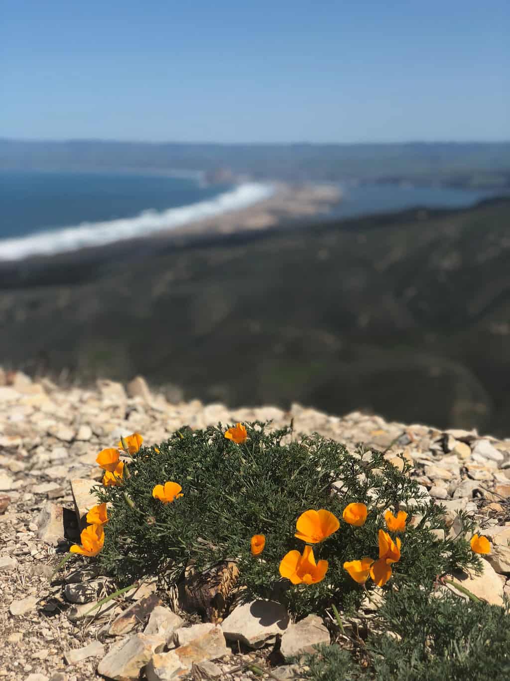
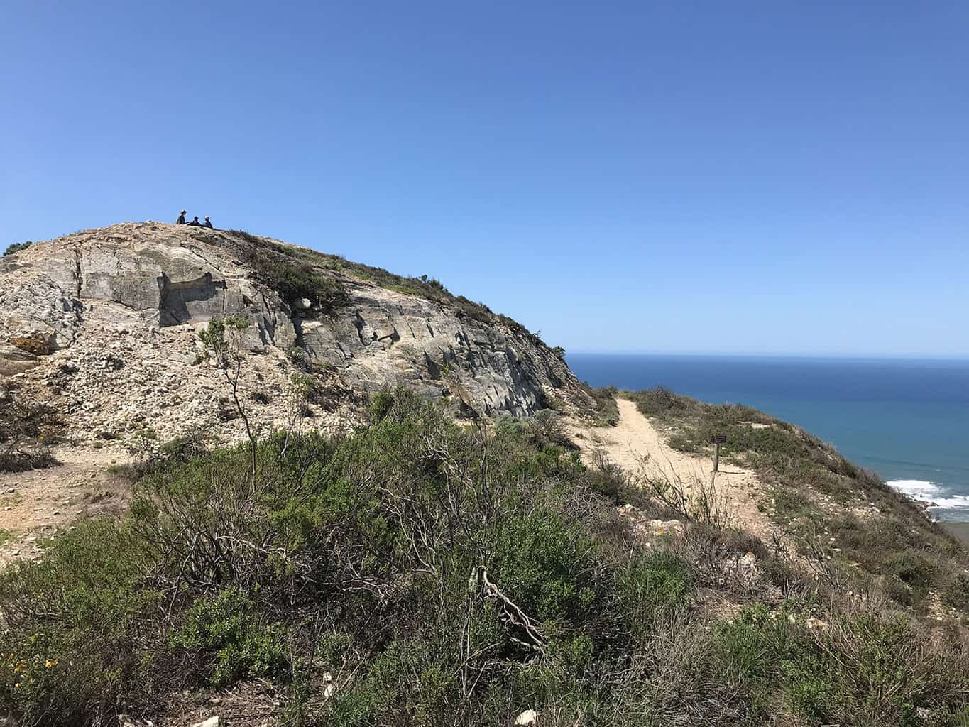
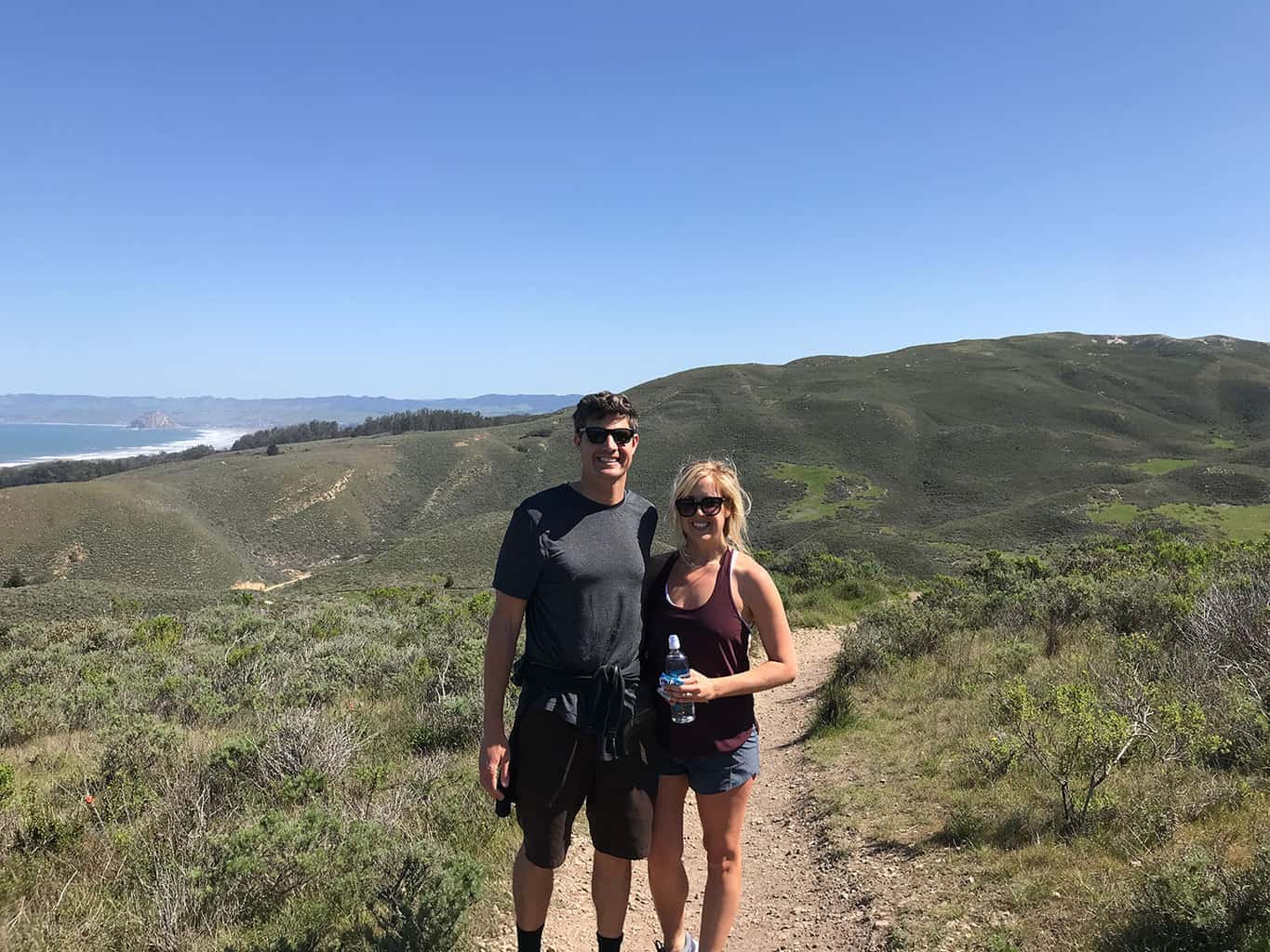
When you reach the peak, you’ll have climbed approximately 1,250 in elevation gain. The panoramic views from the top are breathtaking, especially during the wildflower season.
Scroll down below to see a trail map, photos and more!
Trail Tips:
- Pay close attention for ticks as the area is known for having a high concentration of them.
- Pack lots of water as there are no aid stations along the trail.
Estimated Time: 2.5 – 3 hours
Total Distance: 4.5 miles (round-trip)
Map & Directions
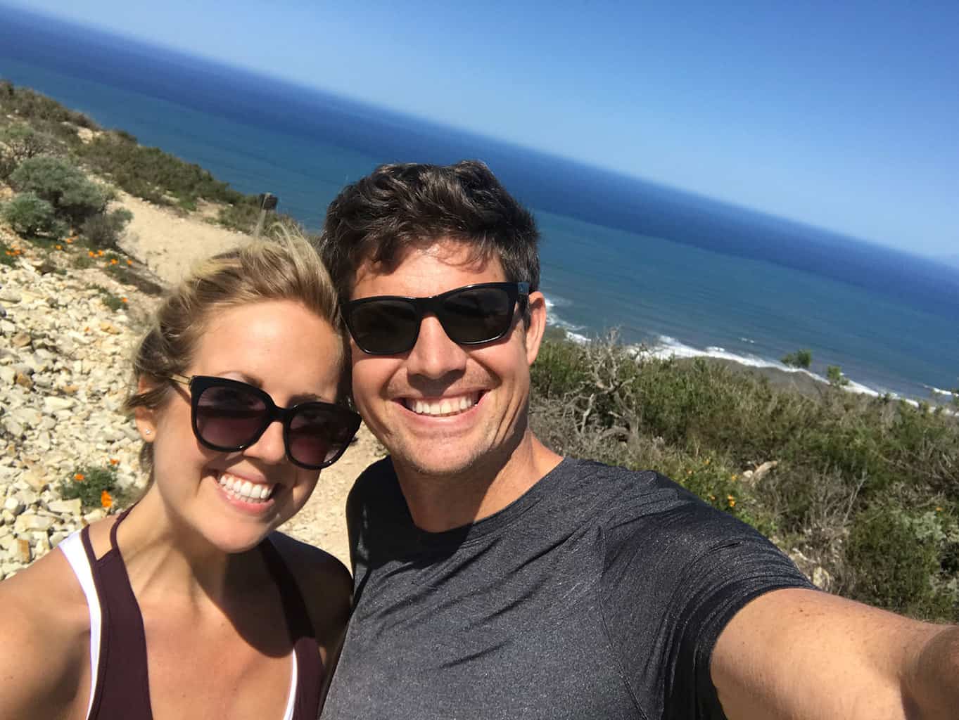
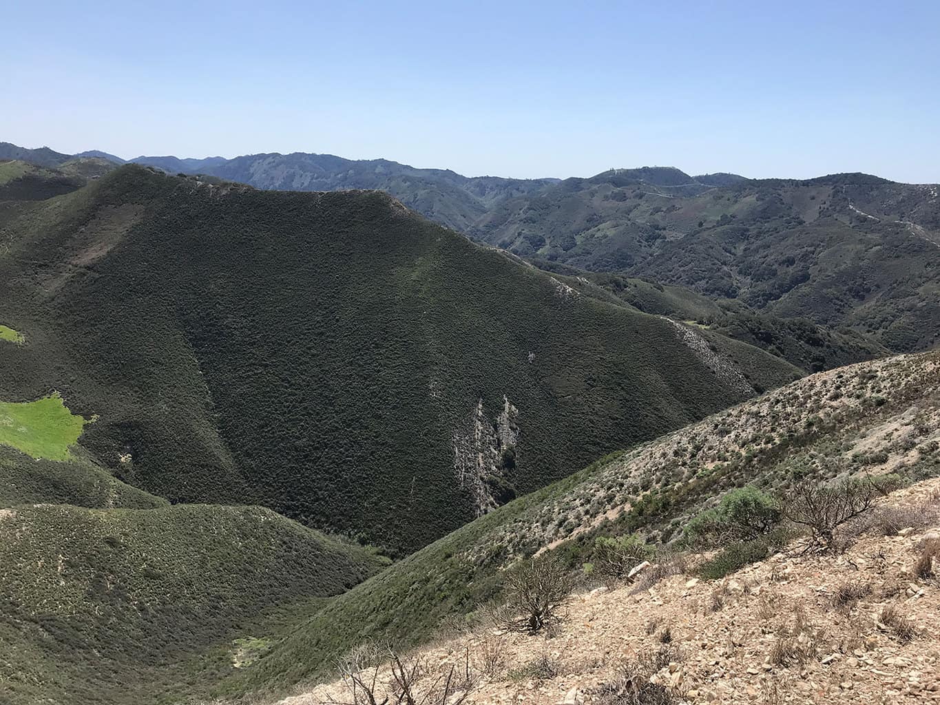
Trail Pictures
Total Distance (miles)
"Montaña de Oro" means "Mountain of Gold" in Spanish
Total Estimated Time (hours)
Montaña de Oro State Park has over 8,000 acres of trails and coastal areas to explore.
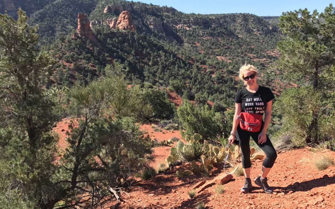
Valencia Peak Photo Gallery
(click on image to rotate through image/s)


When to Go
Spring/Summer/Fall: Montaña de Oro State Park is open year-round. However depending on the time of year, sections of the trails may be inaccessible due to rain. If you want to see amazing wildflowers and less crowds, the #GoHikeIt team recommends going during the spring.
Dog Friendly
No, dogs are not allowed on any trails in Montaña de Oro State Park.
Montaña de Oro State Park Trail Map
Montaña de Oro Trail Directions
Address for GPS: 35.274444, -120.886930
Why We Liked It
Montaña de Oro State Park features miles upon miles of sprawling hiking trails. The park features easier coastal trails suitable for families or challenging terrain for the accomplished hiker. We enjoyed the coastal views of California’s central coast and the pyramid like shapes of Valencia Peak. We will definitely be back!
Discover a New Trail
The Sinks Trail Limestone Canyon Regional Park
Discover Orange County’s mini Grand Canyon and hike The Sinks in Limestone Canyon Regional Park. See trail maps, directions, pictures and more! Go Hike It!
Turkey Creek Trail Sedona Hike
Discover the Turkey Creek Hiking Trail in beautiful Sedona, Arizona. Enjoy this lightly trafficked hiking trail and see incredible views of red rocks.
Devil’s Bridge Hiking Trail | Best Sedona Hikes
Devil’s Bridge Hiking Trail is located in the heart of Sedona, Arizona & the Coconino National Forest. See trail maps, hiking details and pictures.