Devil's Bridge Hiking Trail
Devil's Bridge Hiking Trail
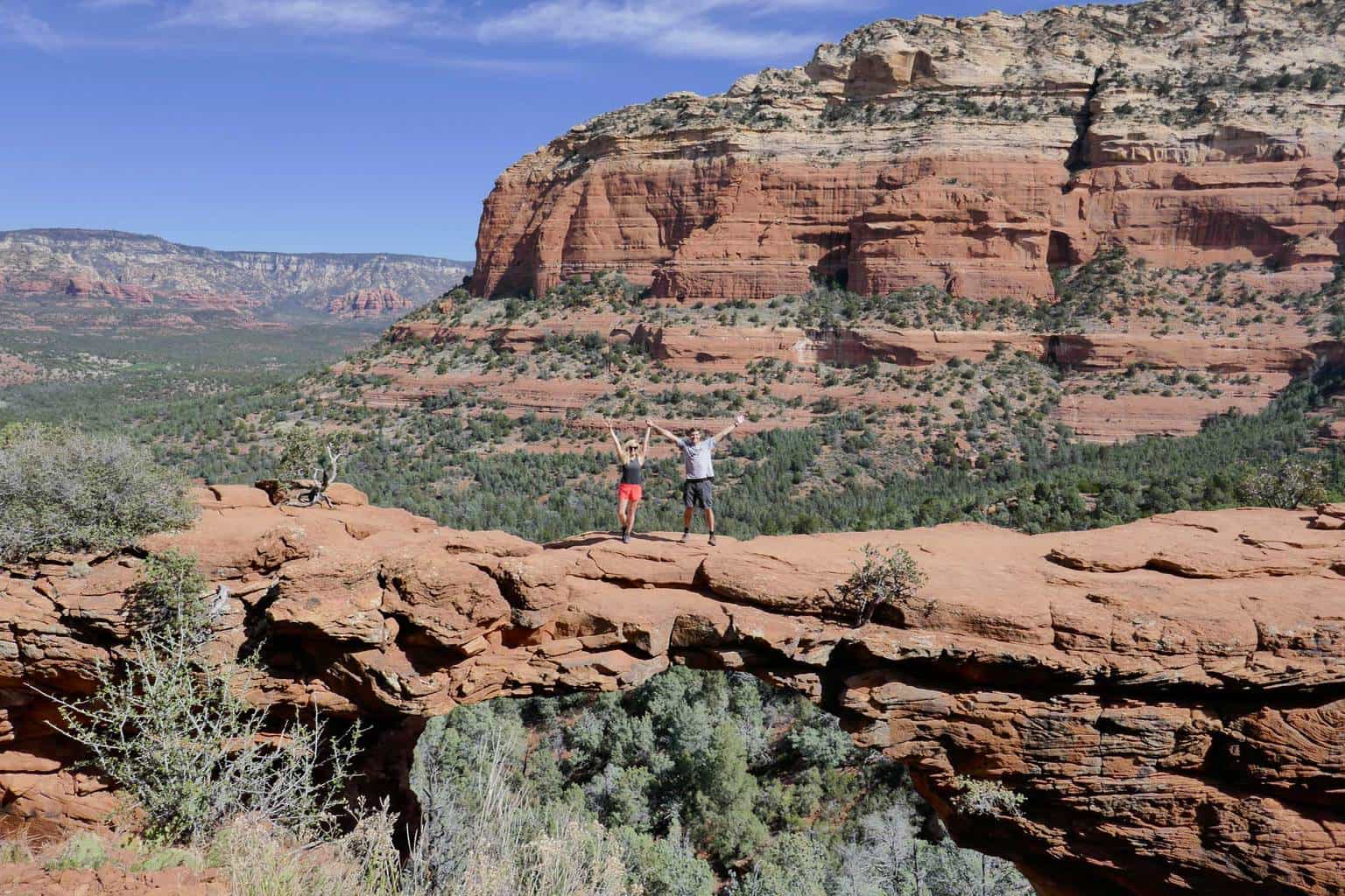
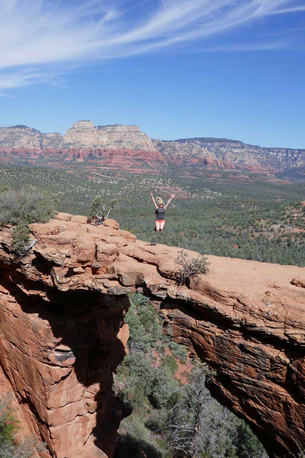
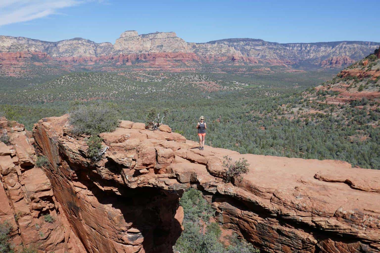
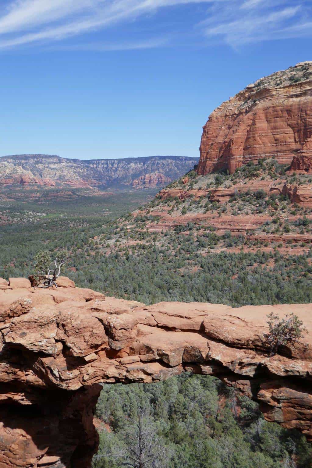
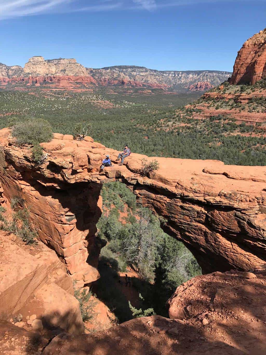
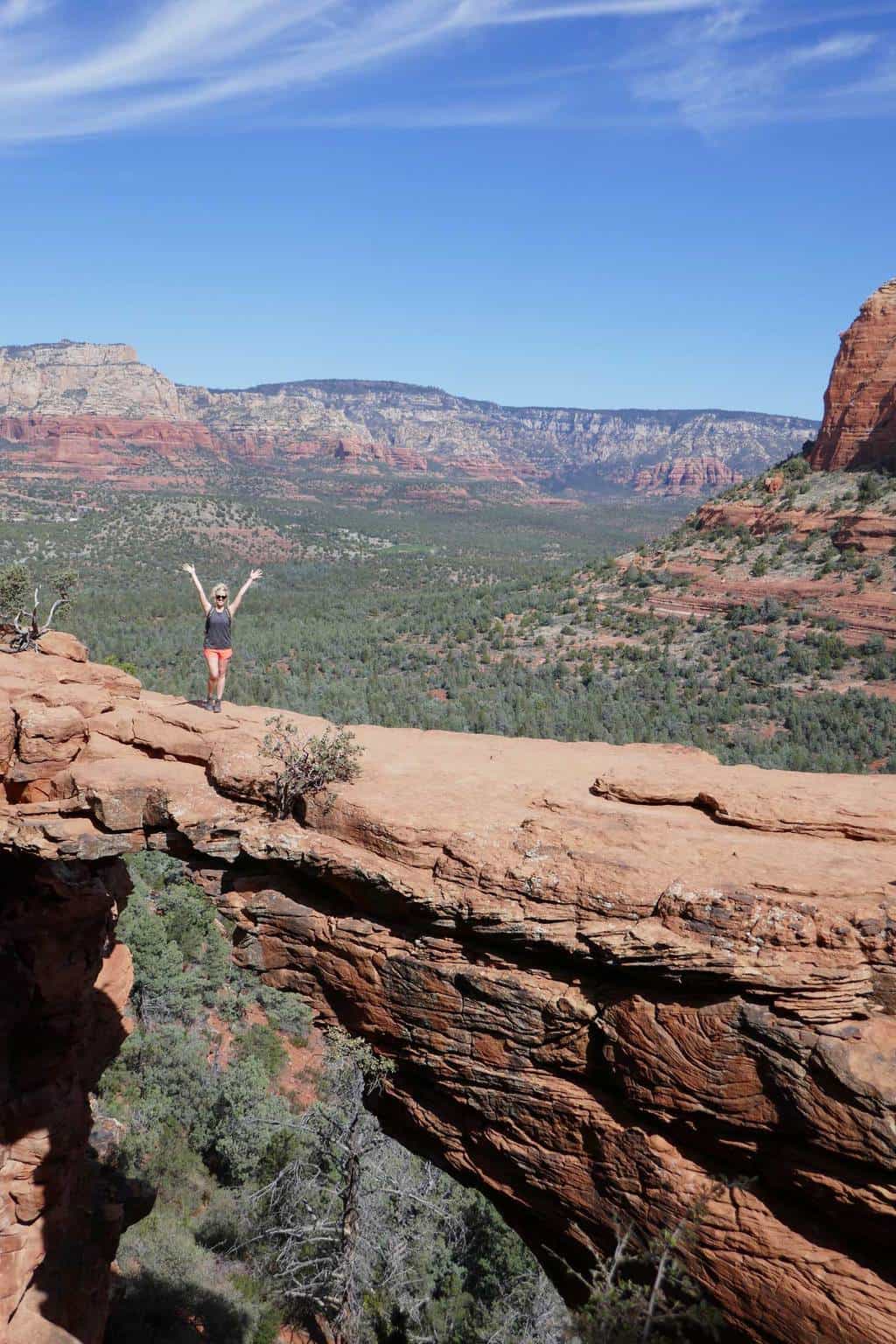
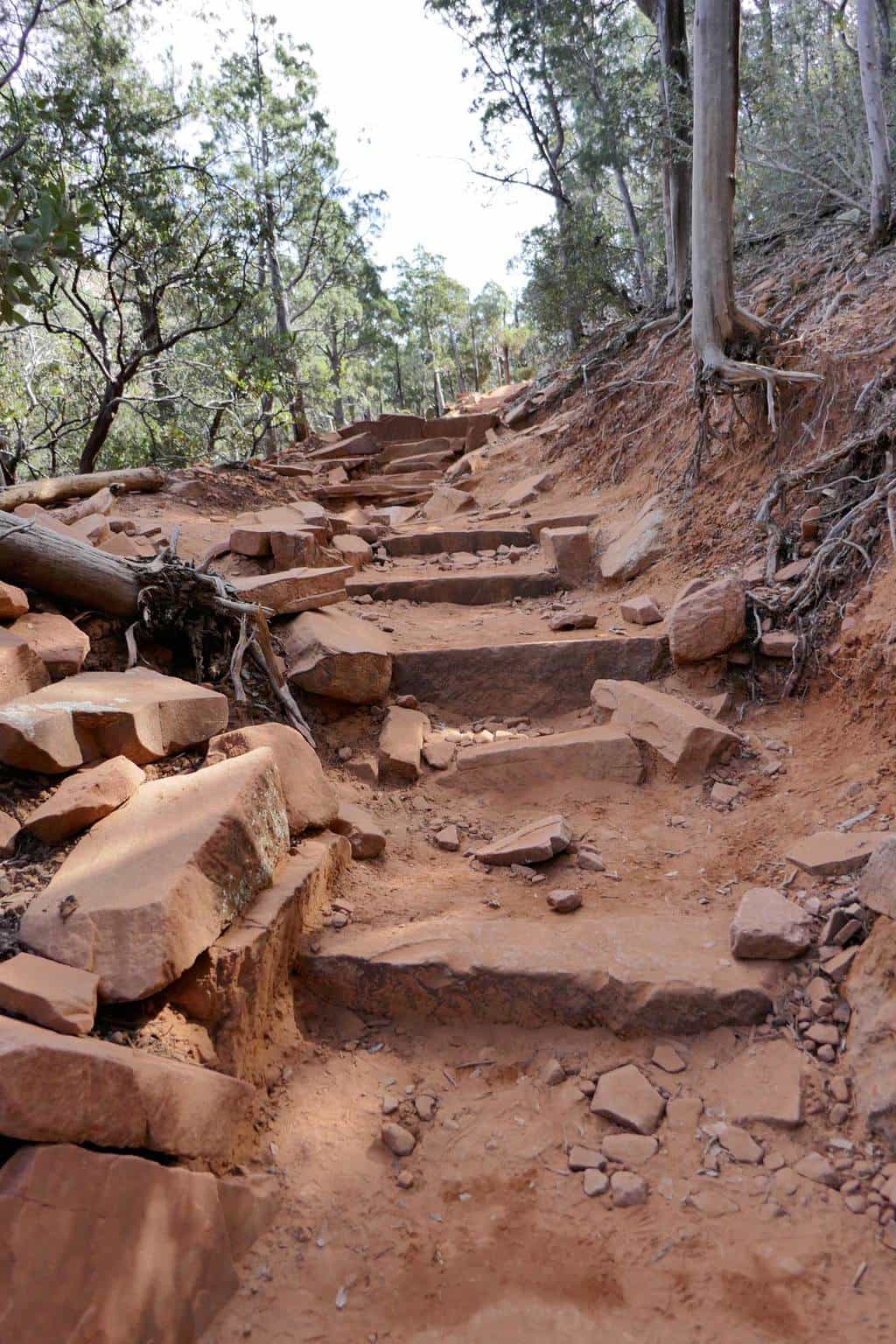
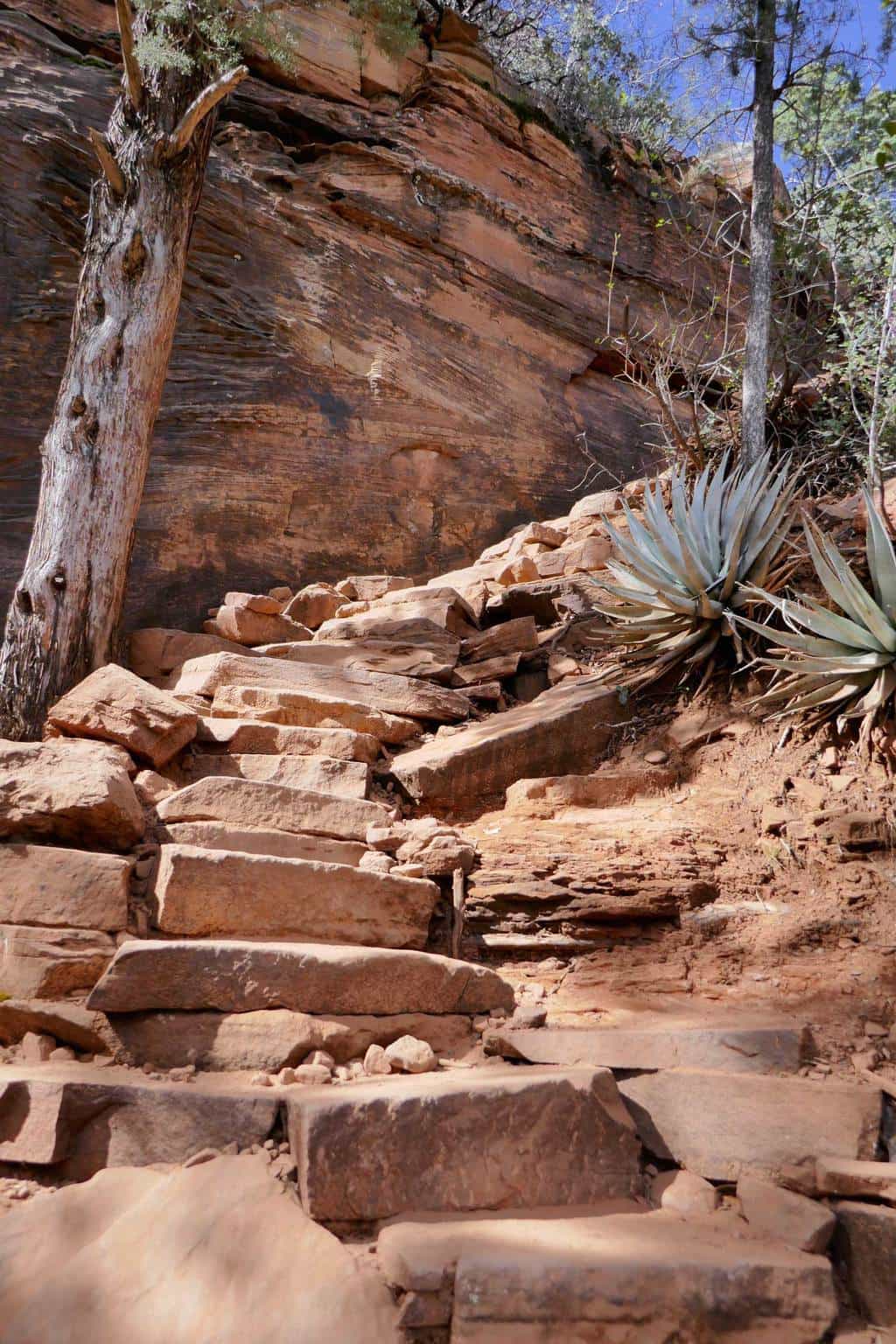
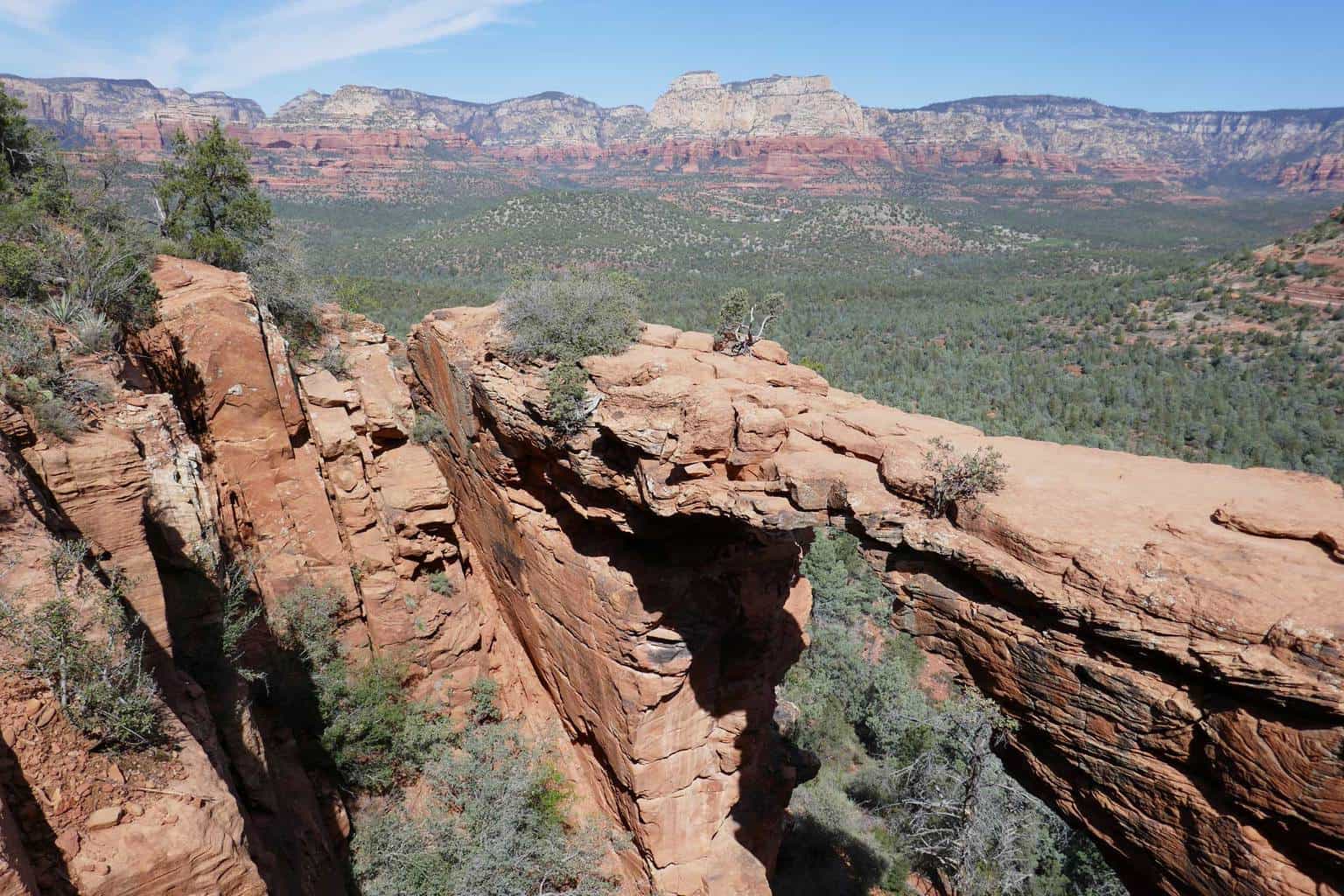
Devil’s Bridge | Sedona Hiking Trail: Sedona is full of several incredible hiking trails, including the Devil’s Bridge Trail! Don’t let the name fool you, this trail is perfect for any type of saint! Located about a 15-20 minute drive from downtown Sedona, Devil’s Bridge is a 4.5-5 mile round-trip hiking trail that takes adventure seekers into the heart of Red Rock Country. At the half way point, hikers climb up a natural stair case to Devil’s Bridge, the largest natural sandstone bridge in the Sedona area. The bridge is suspended about 50 feet above the ground.
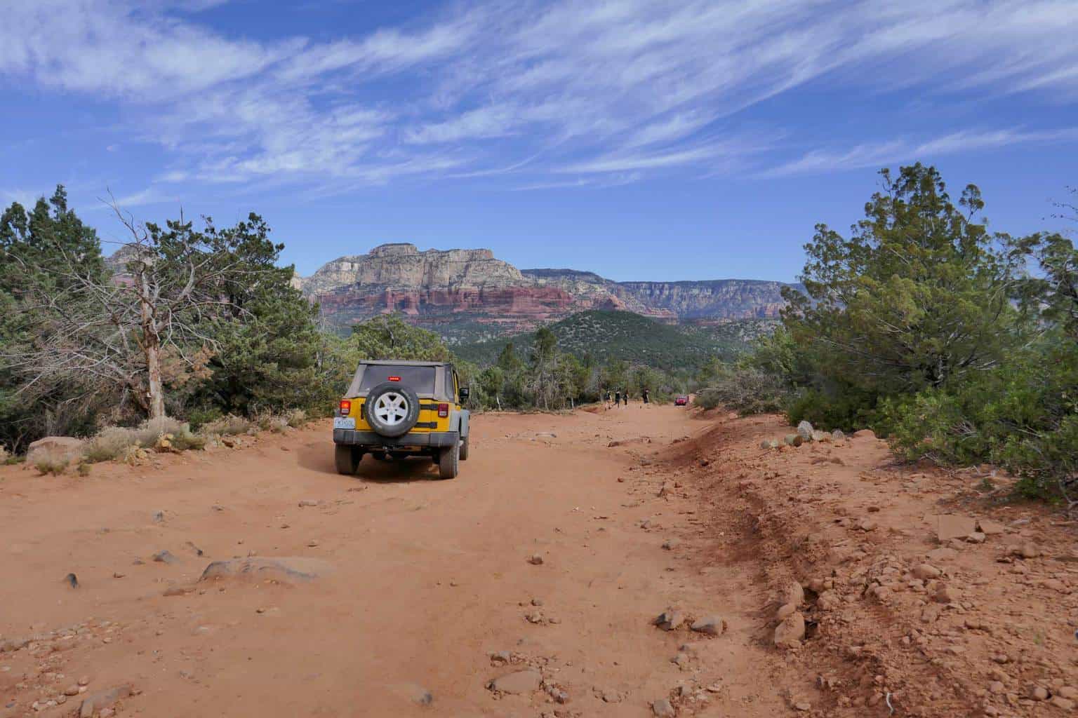
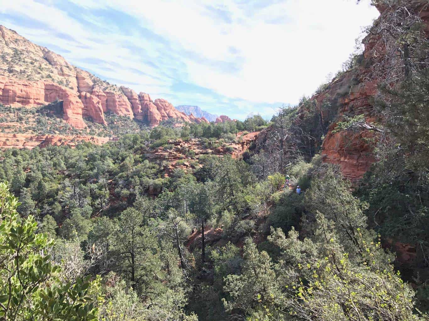
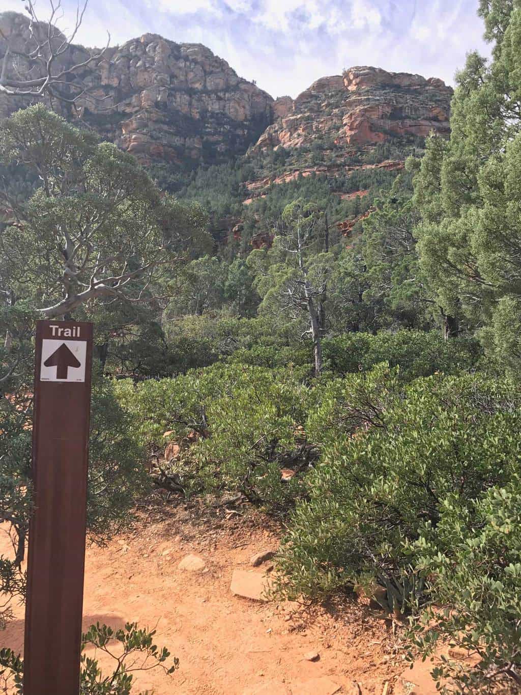
The trail starts along Boynton Pass Rd/Creek Creek Rd intersection and continues down Vultee Arch, a wide fire trail road for 1.5 miles. At the 1.5 mile marker, you’ll make a right turn to Devil’s Bridge trail and follow the trail up a 400 foot elevation climb to Devil’s Bridge.
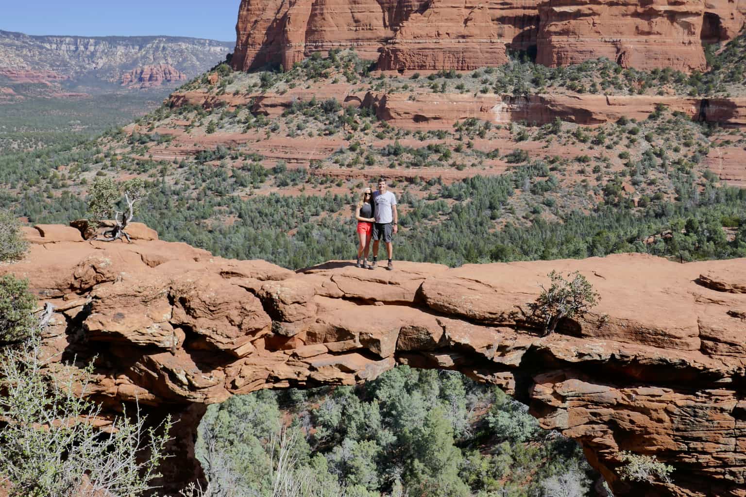
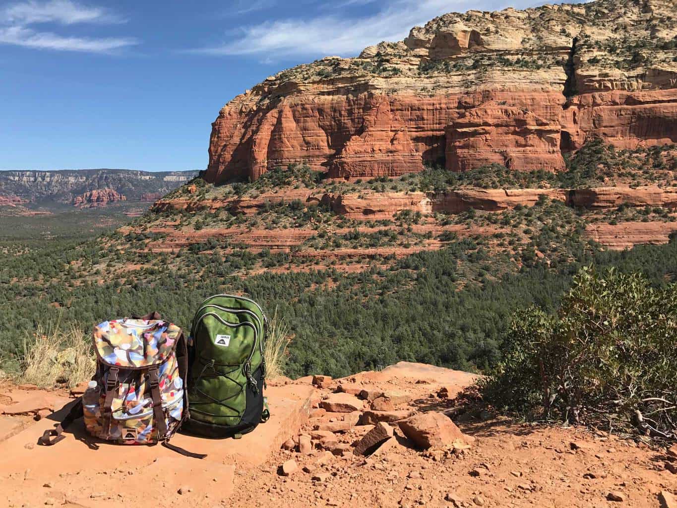
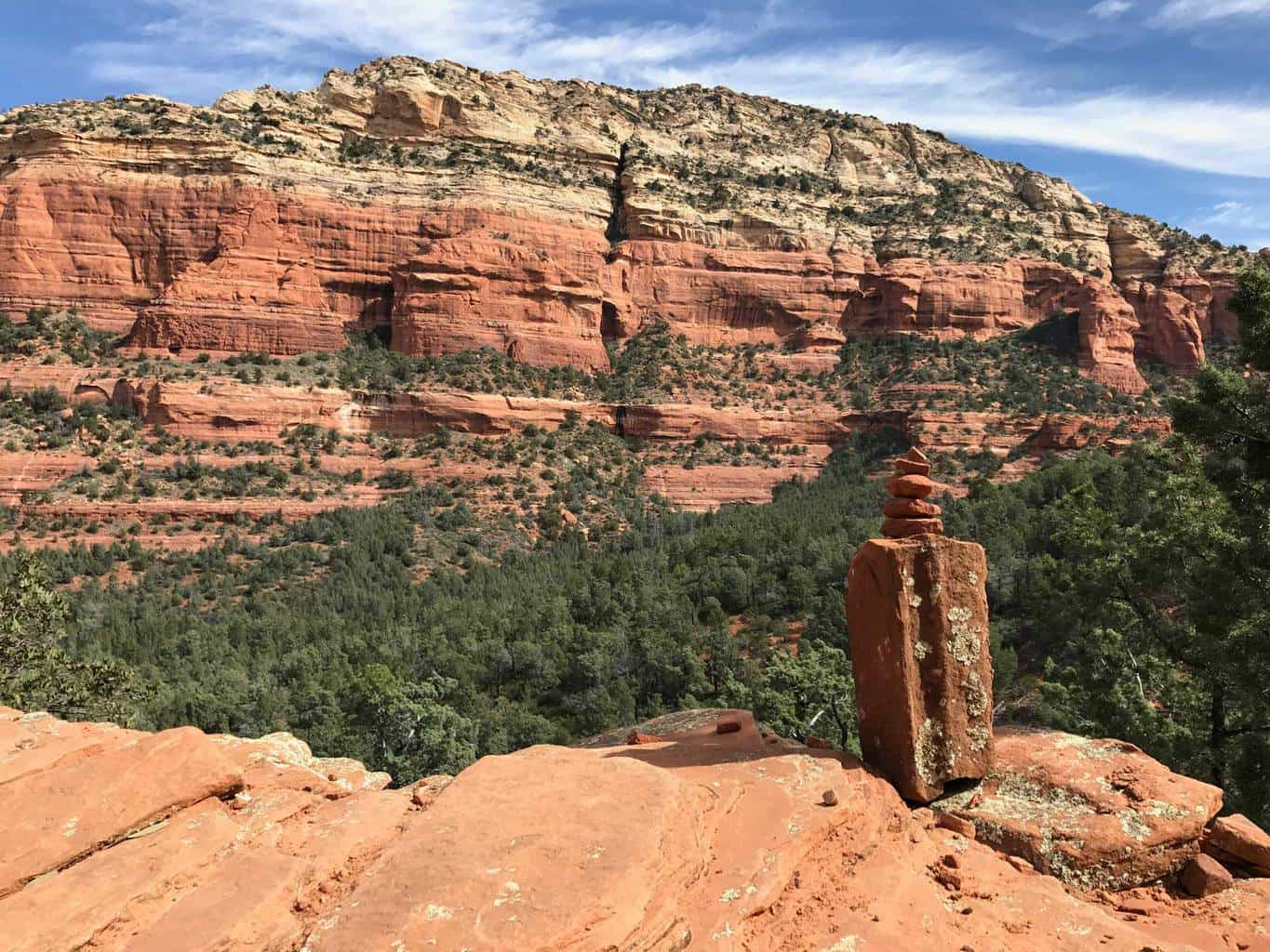
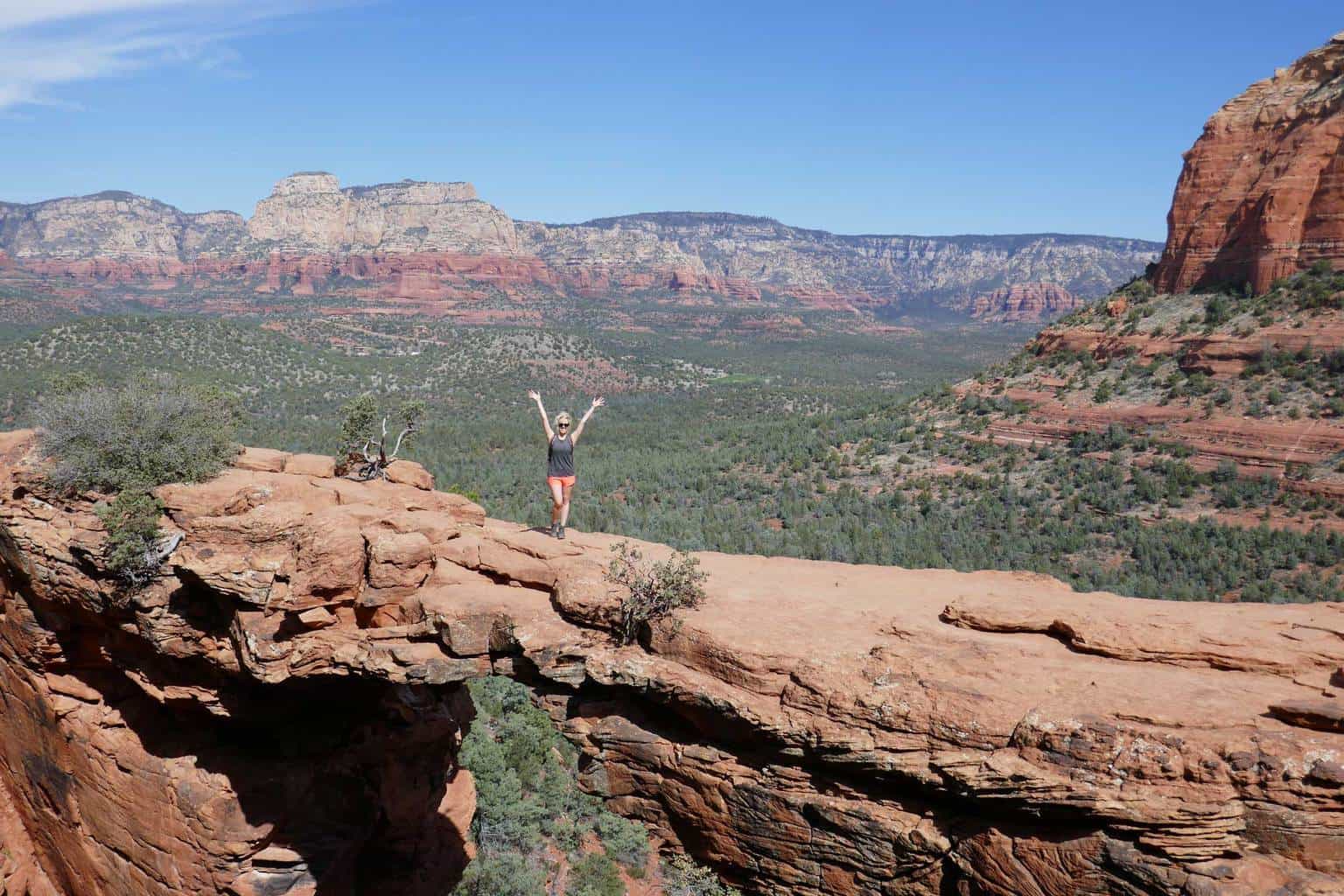
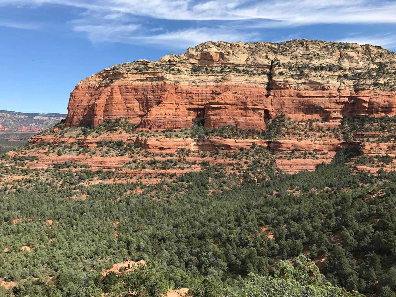
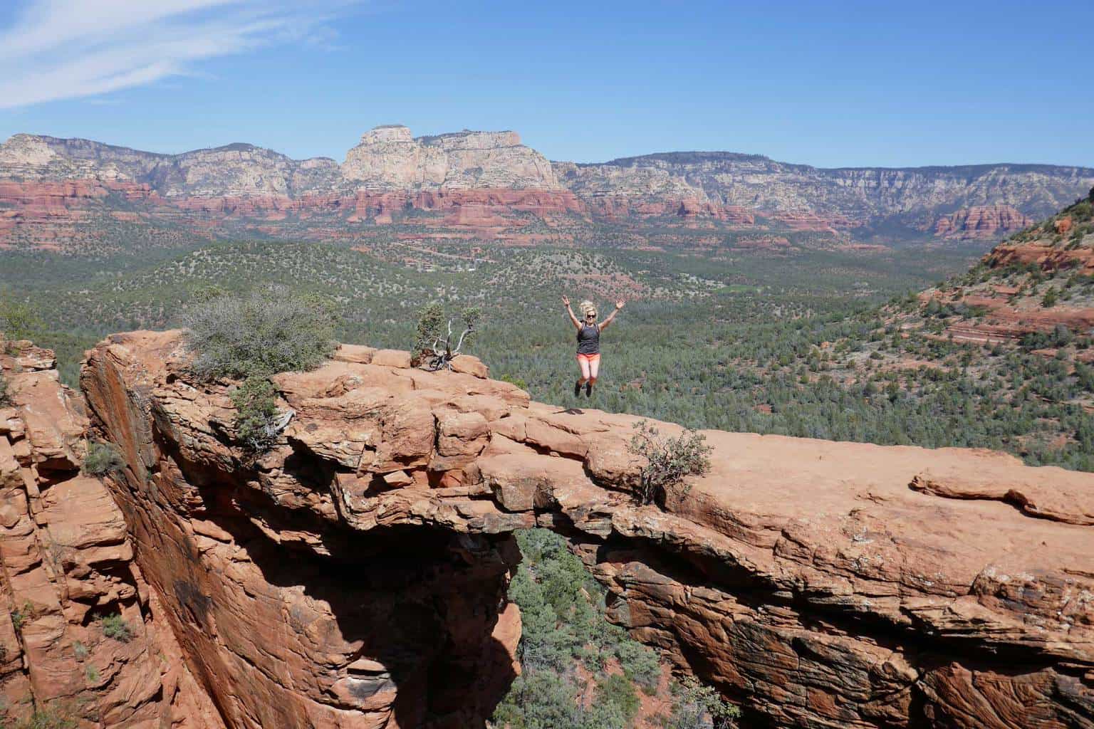
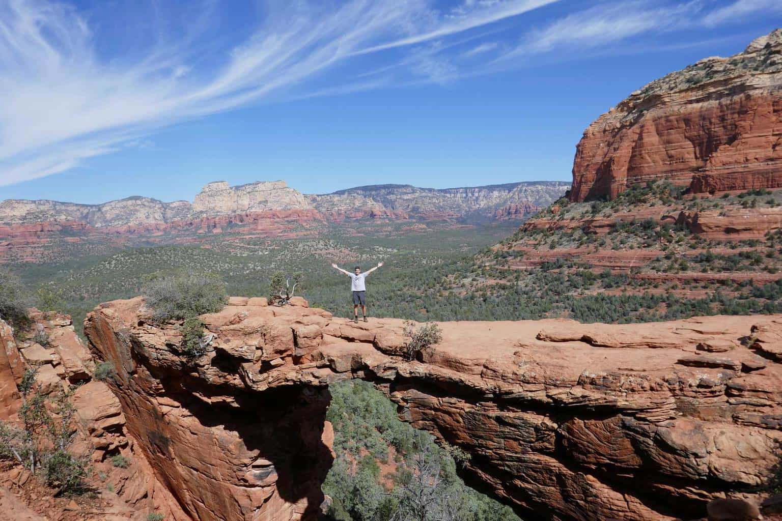
The entire area around the bridge is extremely picturesque and (literally) breathtaking at 4,600 elevation. If you’re brave enough walk across the bridge and share an incredible experience in the heart of Coconino National Forest.
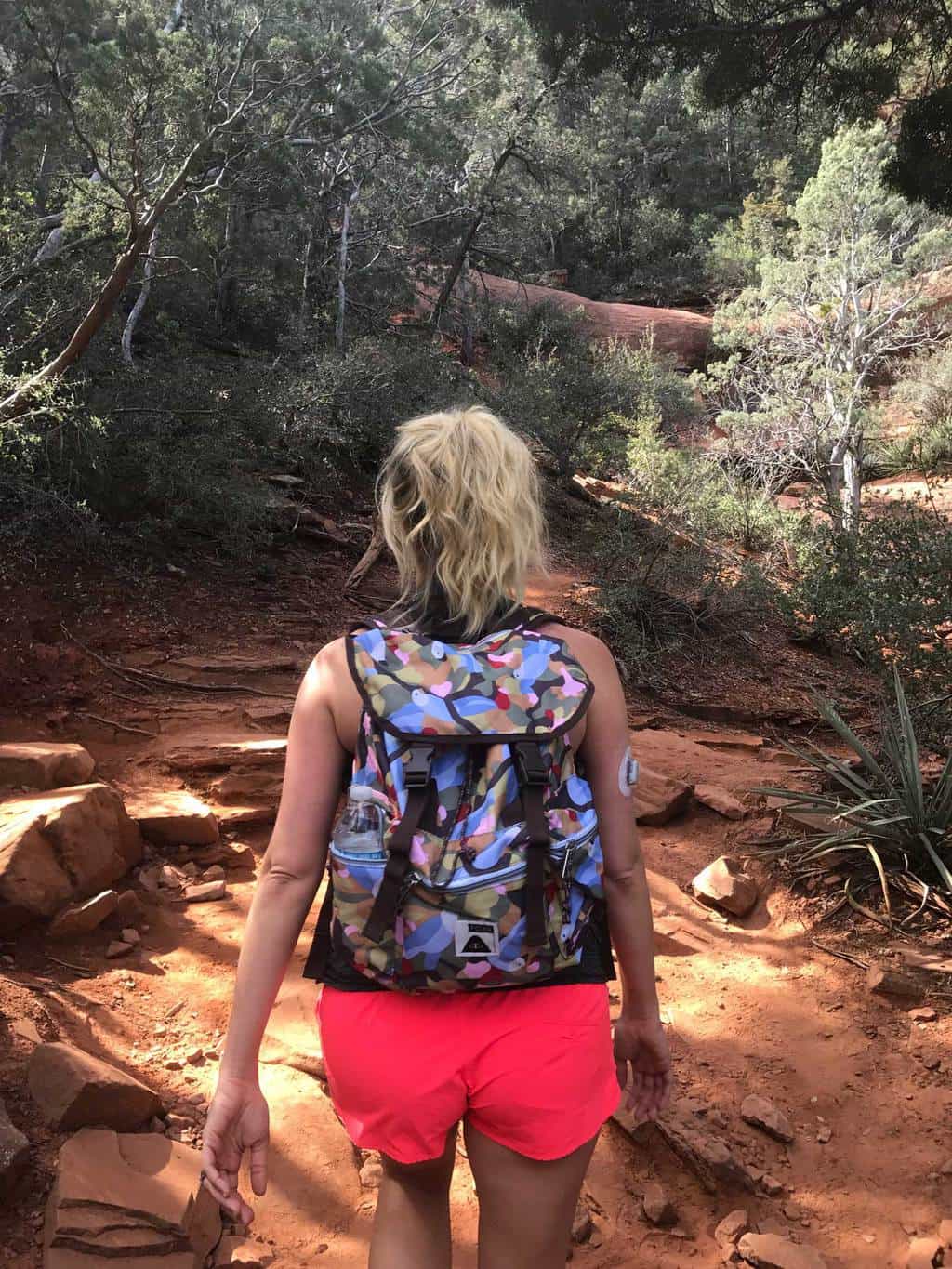
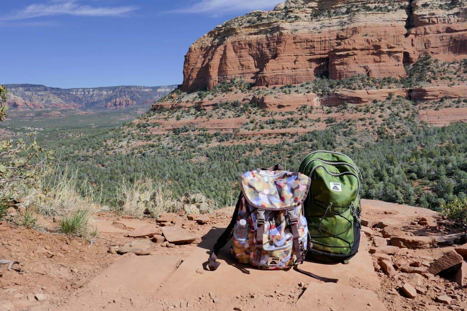
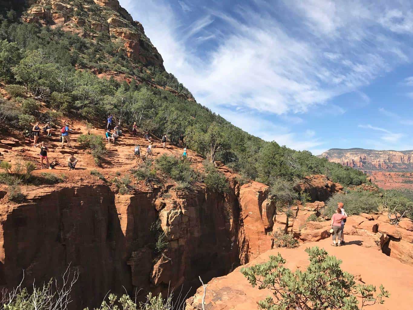
Tips: Go early as this trail is very popular and it can take some time to take a candid, solo photo on top of the bridge. It’s also recommended to bring sturdy hiking shoes and plenty of water.
Estimated Time: 3-6 hours
Total Distance: 4.5-5 miles (round-trip)
Level: Moderate
Map & Directions
Trail Pictures
Total Distance (miles)
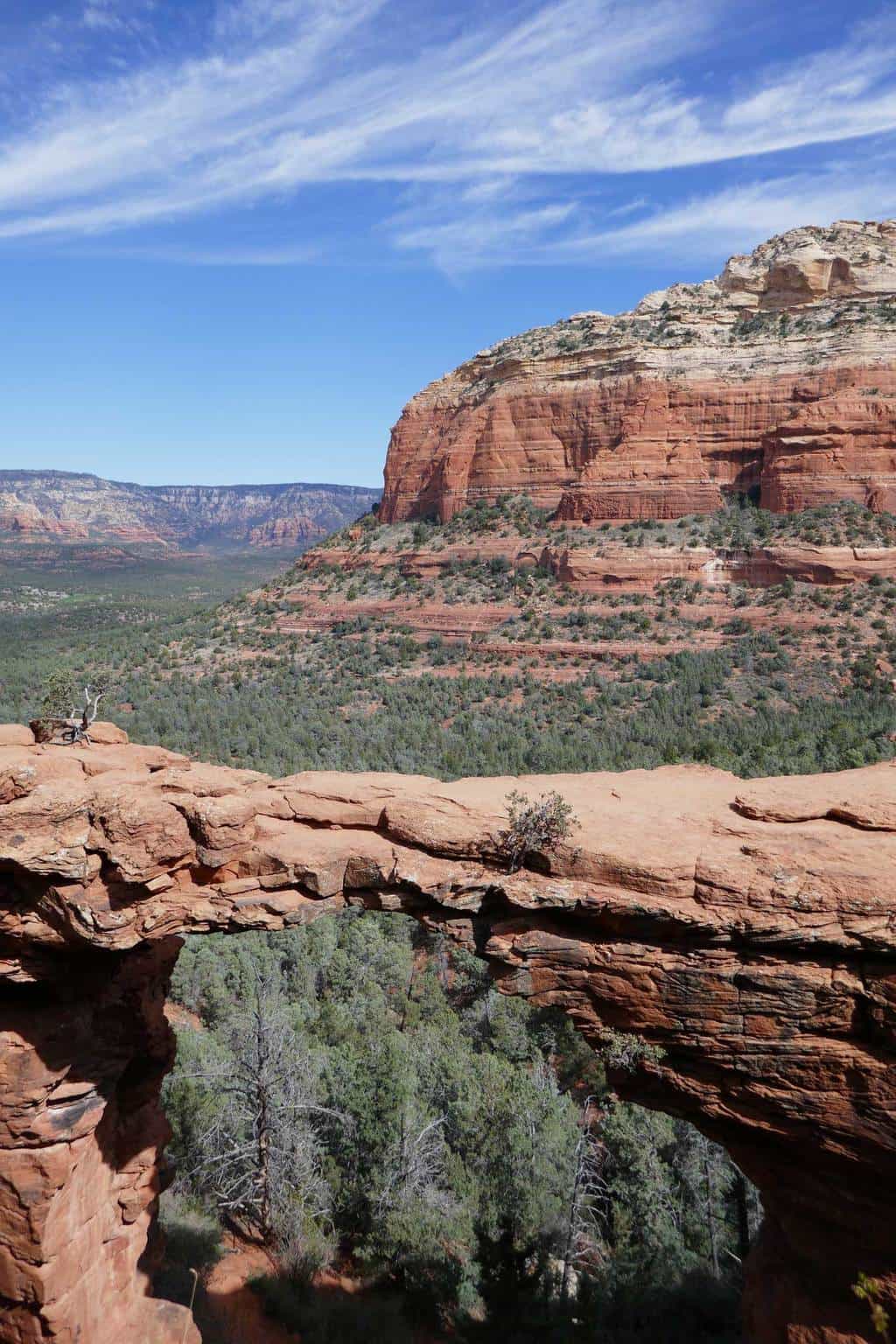
Devil's Bridge is the largest natural sandstone bridge in the Sedona area.
Total Estimated Time (hours)
The first dated human presence in Sedona traces back to 11,000 to 9,000 BC.
Devil's Bridge Sedona Hiking Photo Gallery
(click on image to rotate through image/s)


When to Go
Fall/Spring: It’s ideal to hike Sedona trails, including the Devil’s Bridge during the fall & spring months when the weather can be generally milder. During the winter months it may be too frigid and contrarily during the summer months it may be too scorching.
Dog Friendly
Yes, dogs on leashes are allowed on the Devil’s Bridge Trail.
Devil's Bridge Hiking Trail Map
Devil's Bridge Hiking Trail Directions
Devil’s Bridge Hike – Address: 1398-1400 Vultee Arch, Sedona, AZ 86336
Overview: Street parking is highly recommended. There is a small paved parking lot with limited space as well as some off road parking for four-wheel drive vehicles..
Why We Liked It
Devil’s Bridge is definitely a bucket list hike for active hikers! This incredible trail is full of incredible, picturesque moments and challenging enough to get the blood flowing. We loved experiencing this hike and taking pictures on top of the bridge.
If you plan on visiting Sedona, we highly recommend adding this to your list!
Discover a New Trail
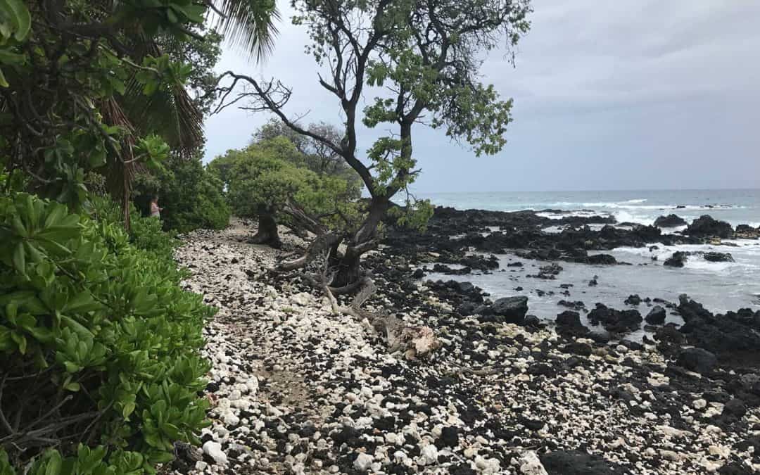
Kuki’o Beach Hawaii Hiking Trail
Kuki’o Beach on Hawaii’s Kohala Coast is a white-sand beach featuring sea turtles and incredible ocean views. It’s an easy beach hike and perfect for any Hawaii vacation!
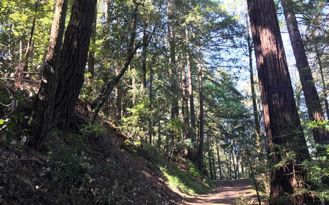
Santa Cruz Redwoods Hiking Trail | Rincon Fire Road Trail
Rincon Fire Road Trail is a moderately trafficked 3.9 mile out and back hiking trail in the middle of the Santa Cruz redwoods. This trail is popular with hikers, mountain bikers and even horseback riders. If you’re searching for a family friendly hike underneath redwoods, this is it!
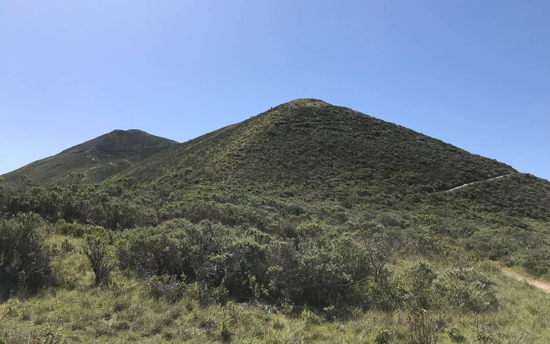
Montaña de Oro State Park Hiking Trail
Discover Montaña de Oro State Park and see the Valencia Peak Hiking Trail, the best hiking trail in Los Osos and Morro Bay. See hiking trail photos, maps, guides and reviews.