The Sinks | Limestone Canyon Hiking Trail
Limestone Canyon Regional Park Hiking Trail
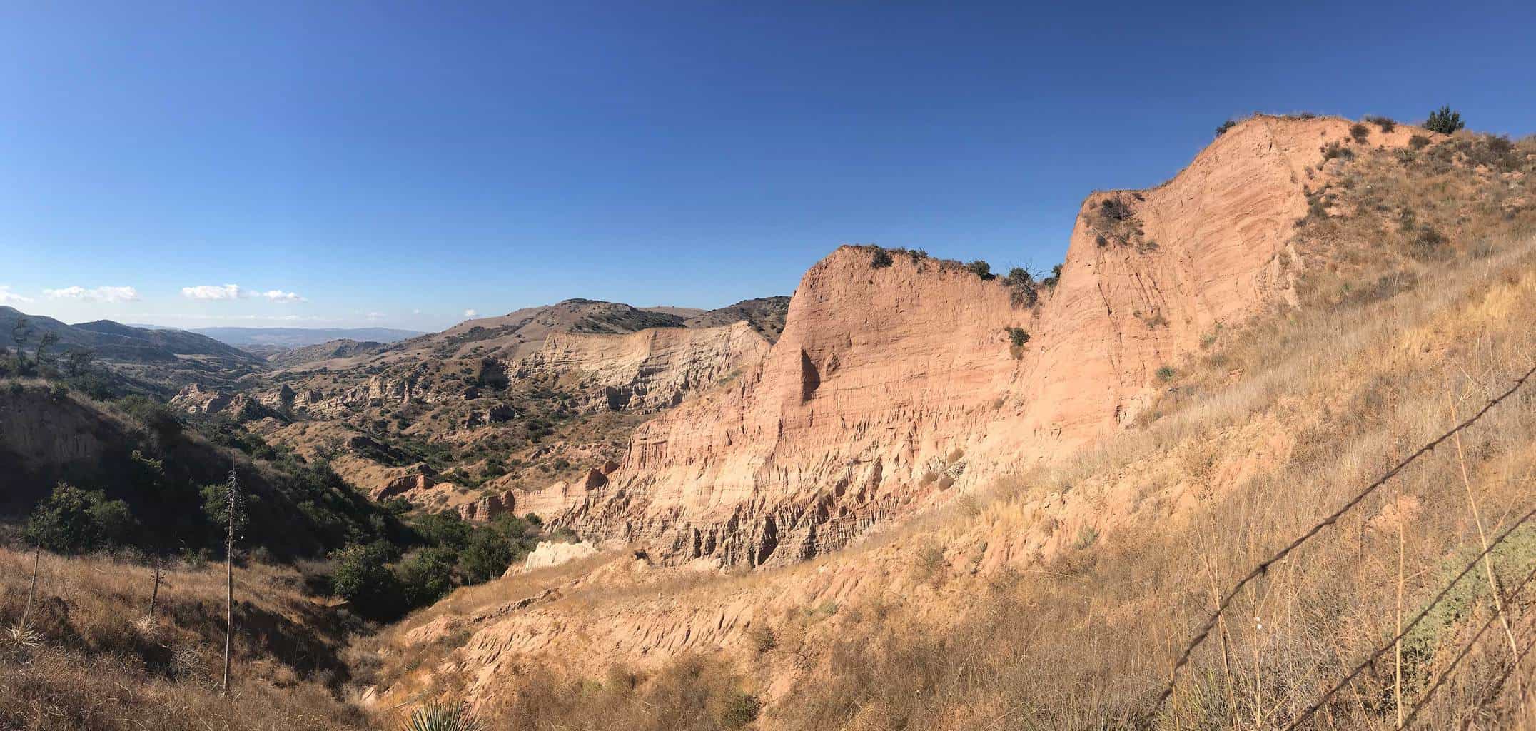
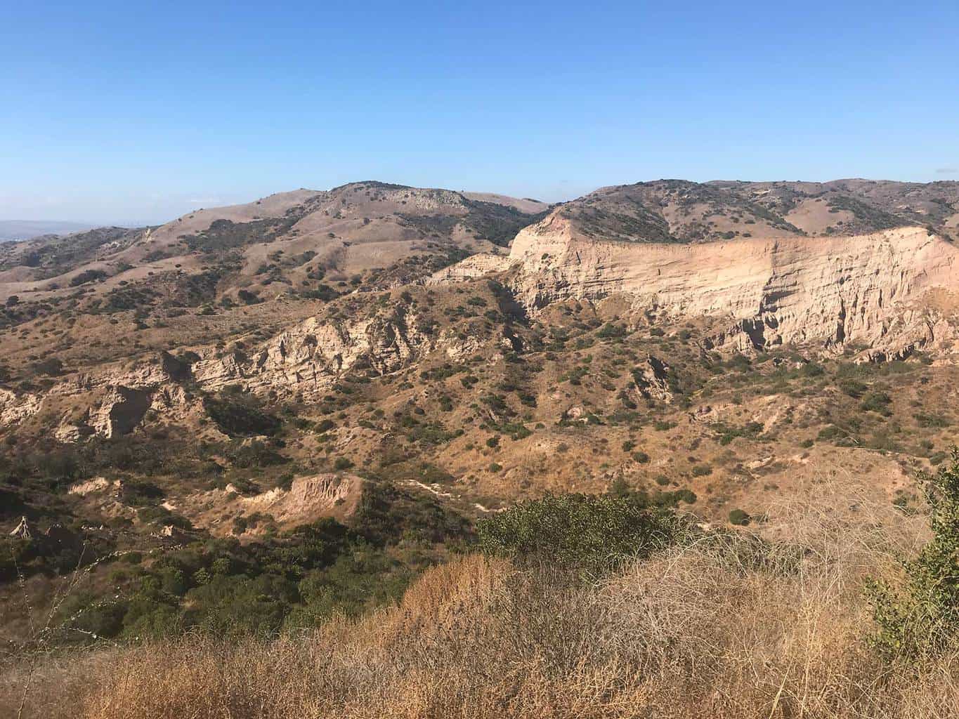
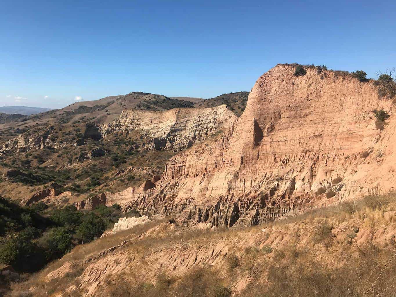
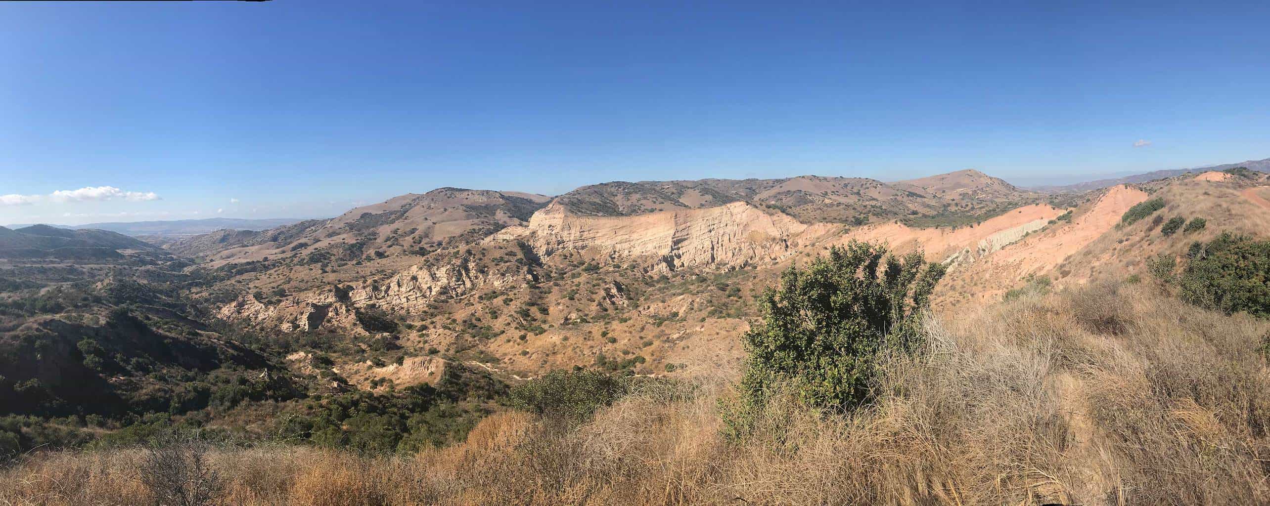
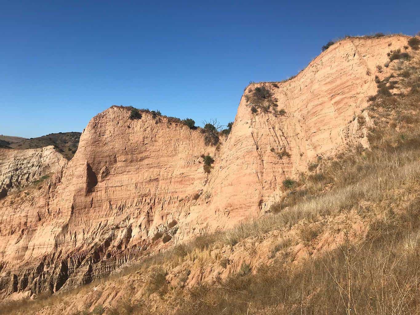
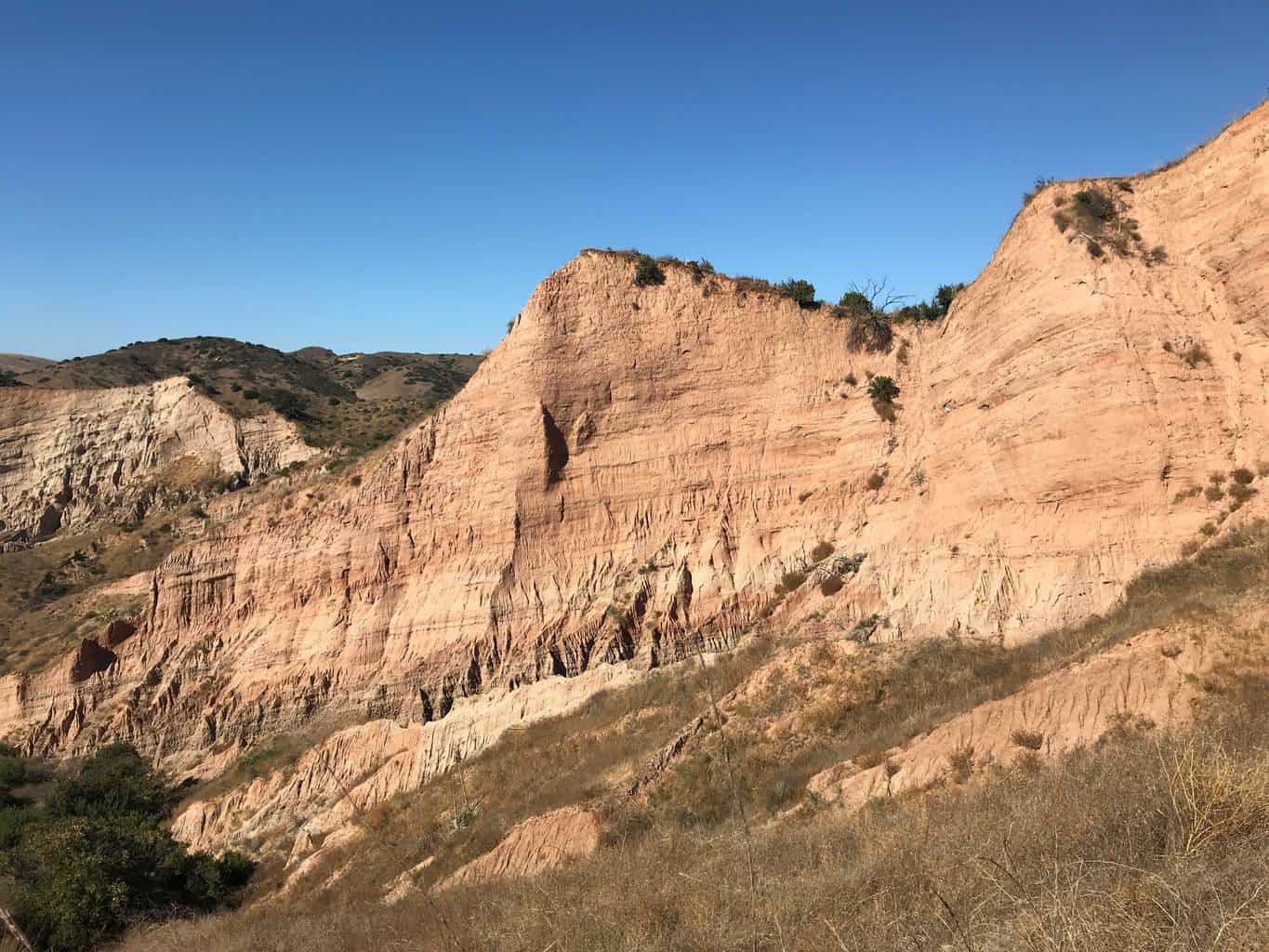
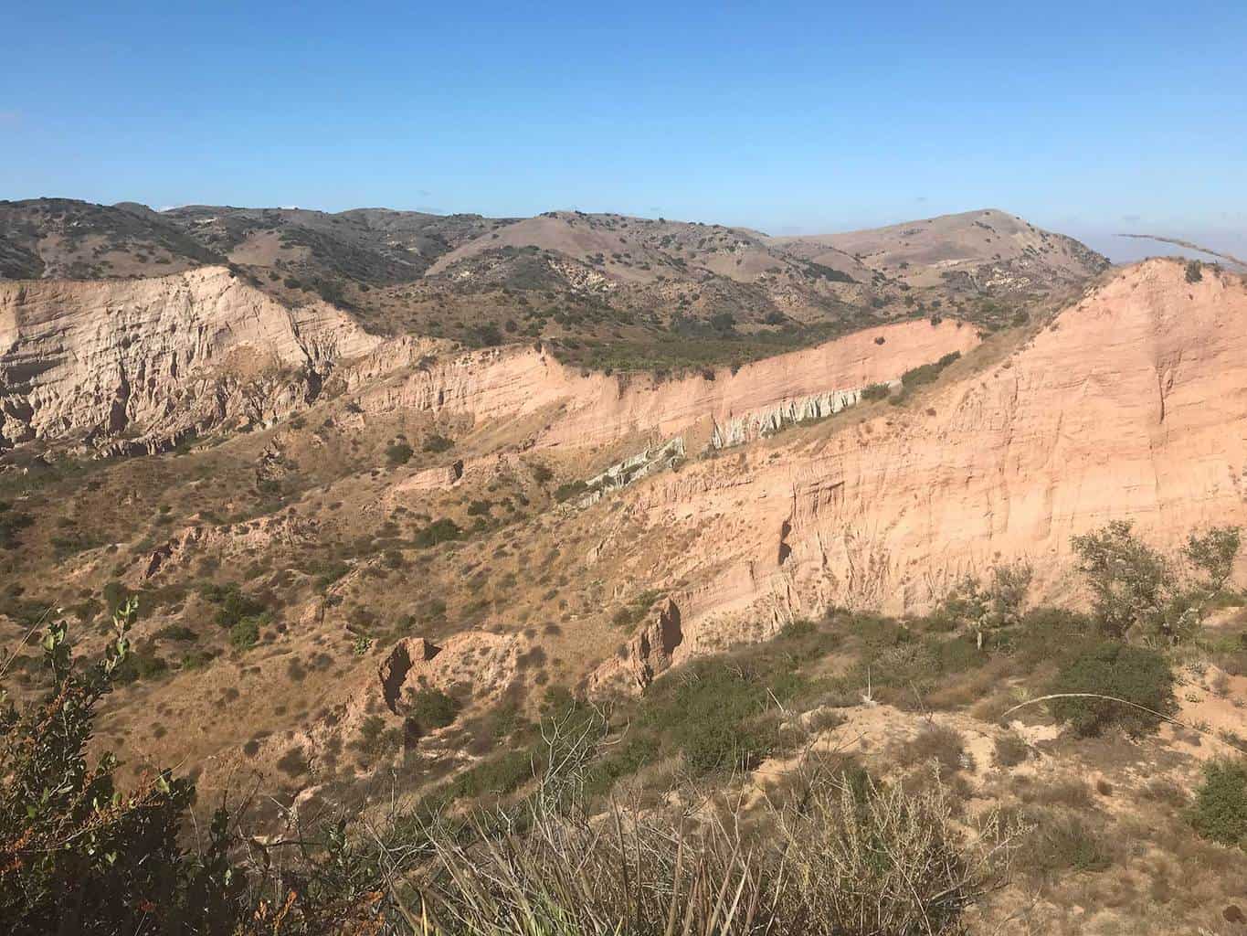
Orange County’s Mini Grand Canyon: Often referred to as Orange County’s mini-Grand Canyon, the Sinks is an unique geological formation of limestone that transcends a canyon in Limestone Canyon Regional Park, a 50,000 acre protected area. It’s a spectacular sight and worth adding to any bucket list!
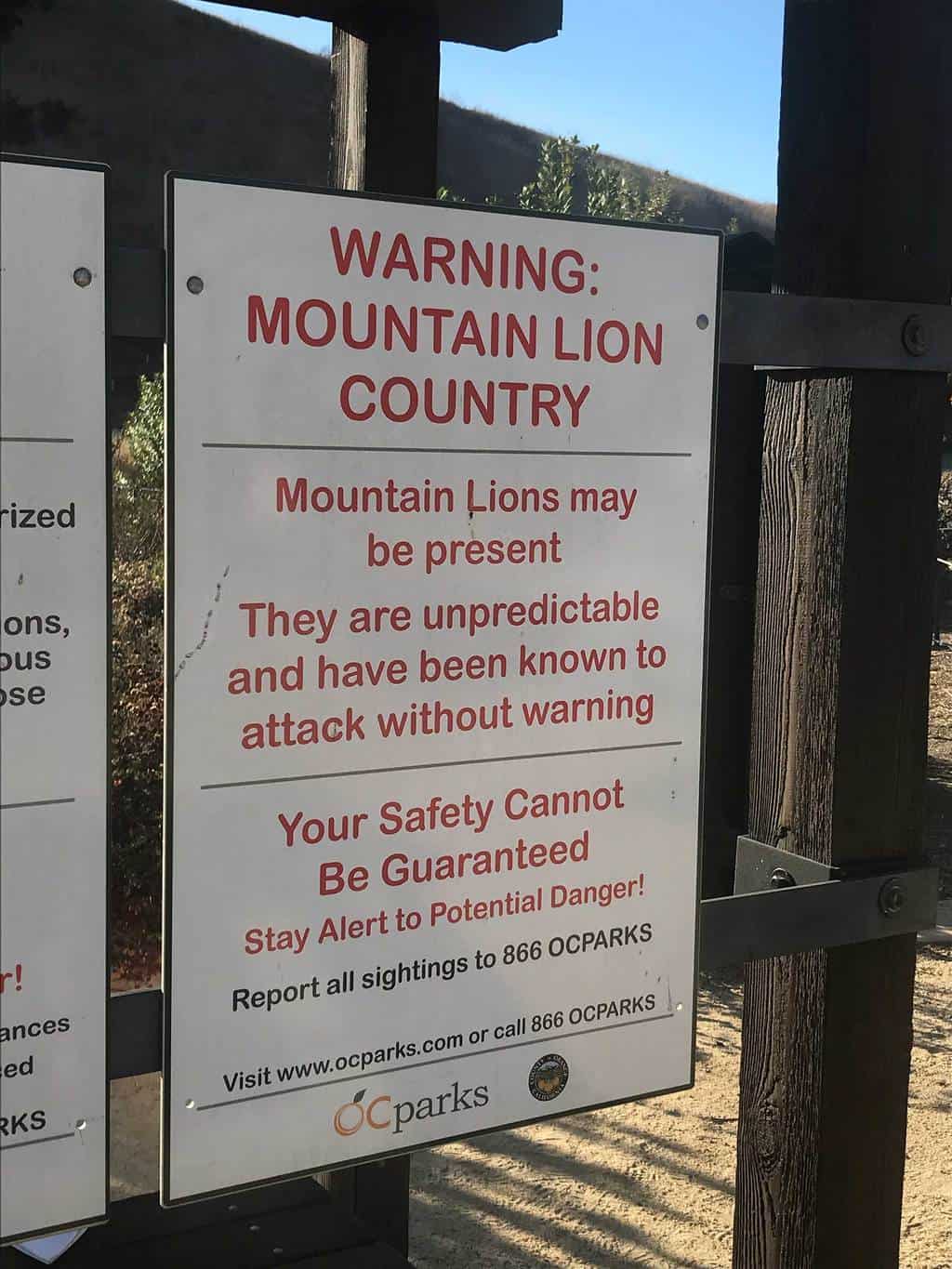
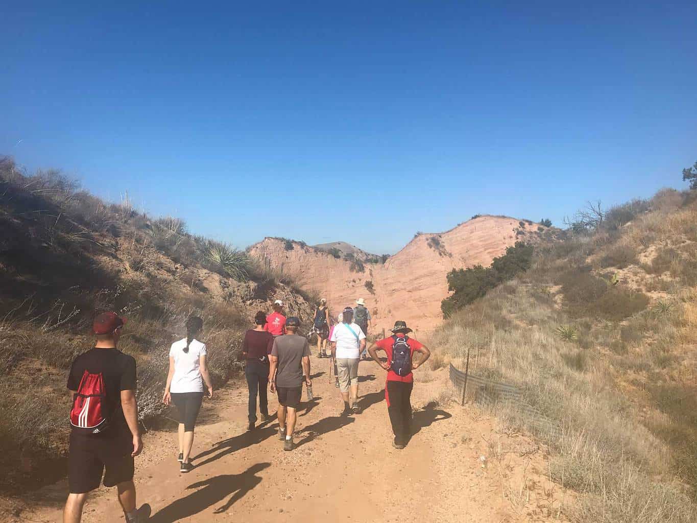
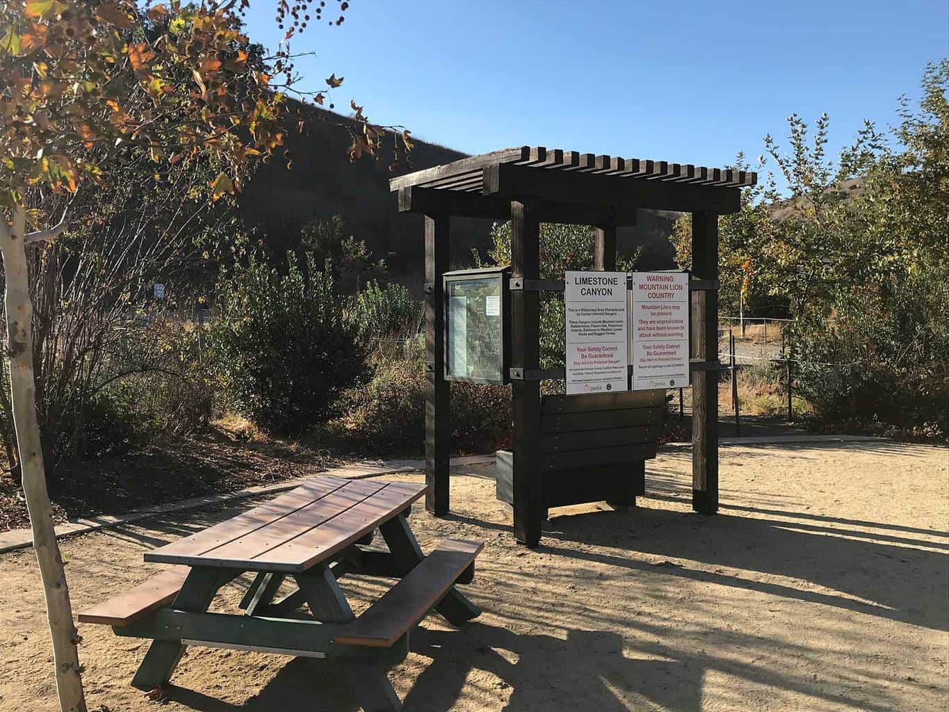
The there are two starting points for the Sinks hike. The first is from the intersection of Portola Parkway and Limestone Canyon road. The second is from the Augustine Staging Area, which is the most popular starting point. Advanced hiking reservations are required through the Irvine Ranch Conservancy at www.LetsGoOutside.org and you’ll only be able to hike with an organized group.
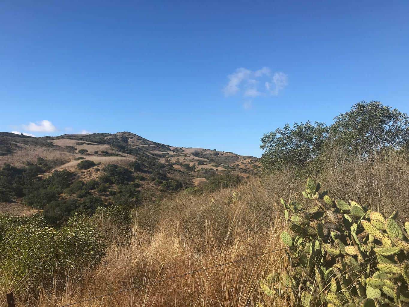
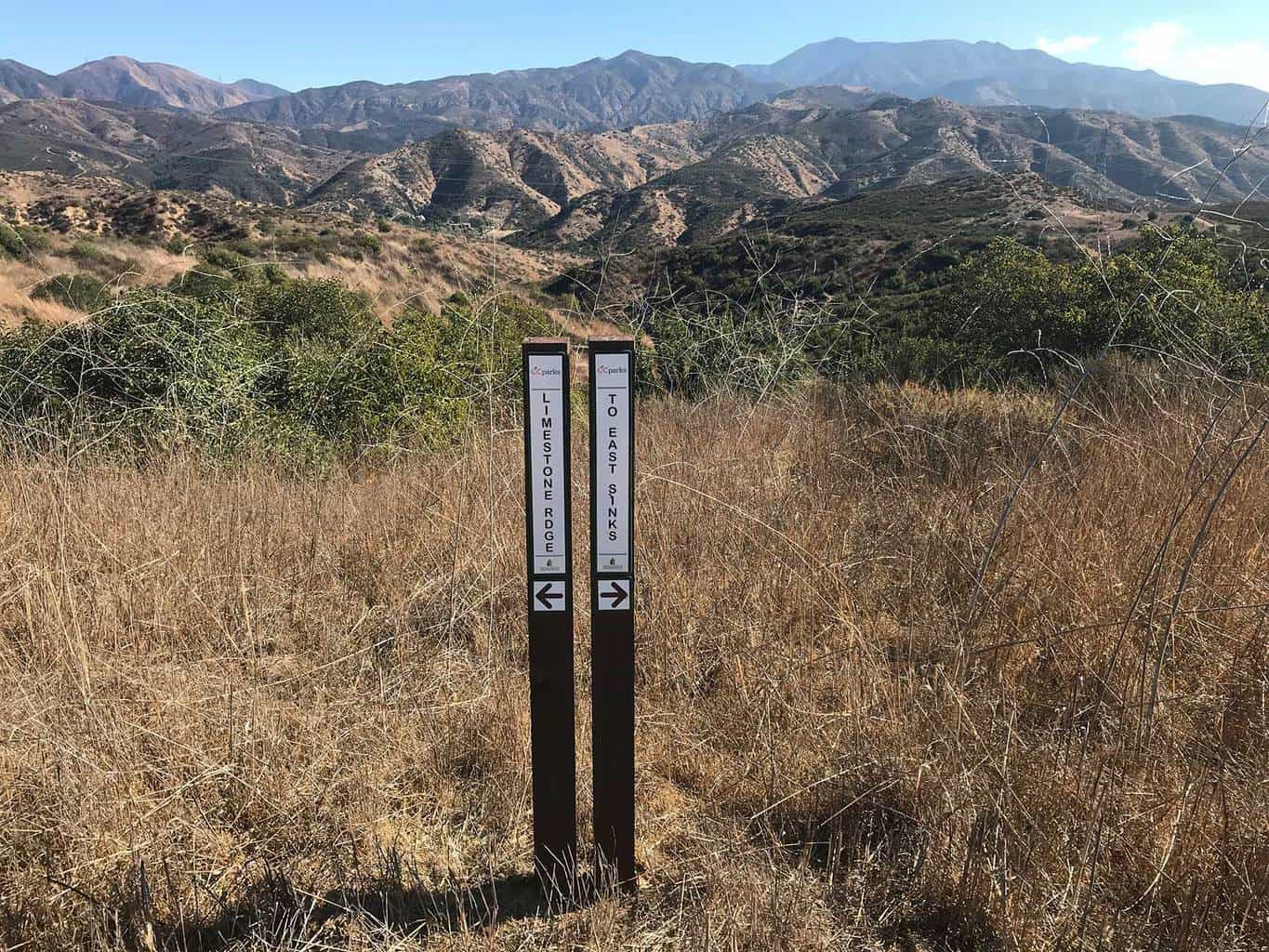
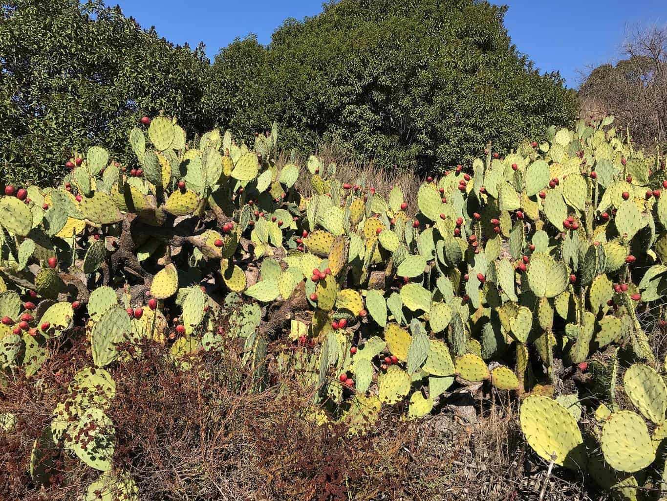
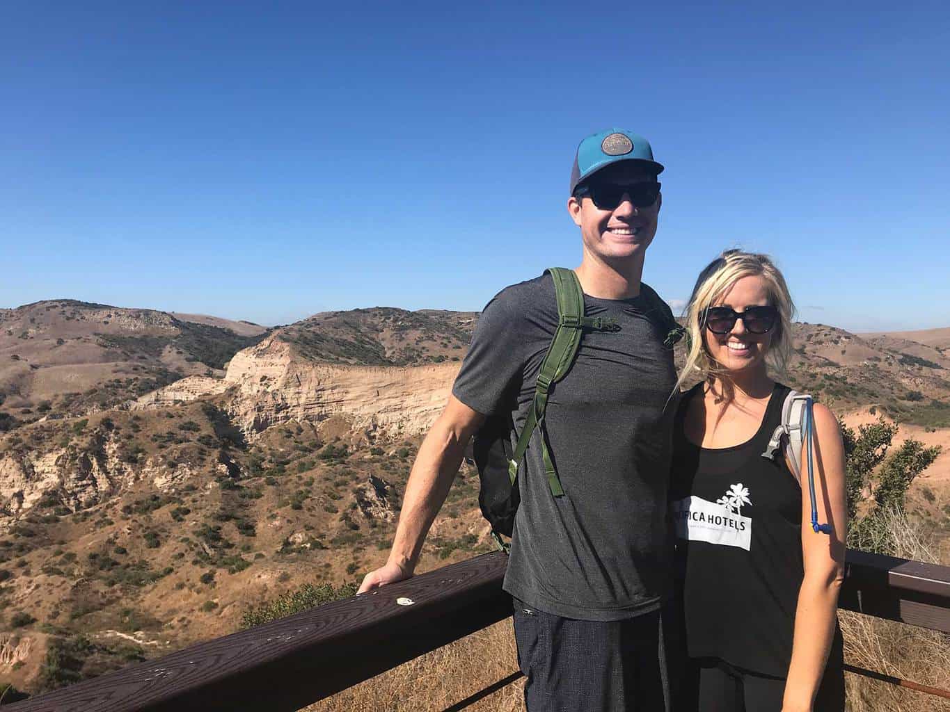
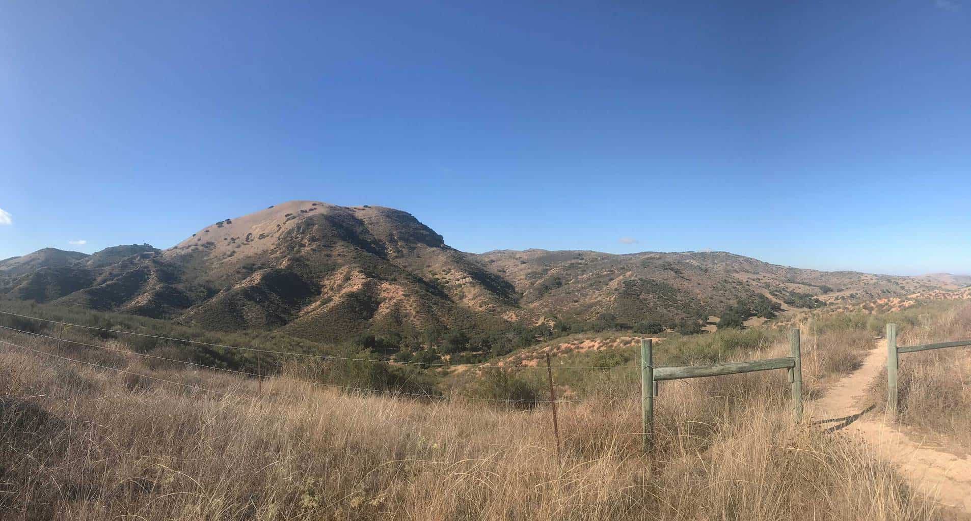
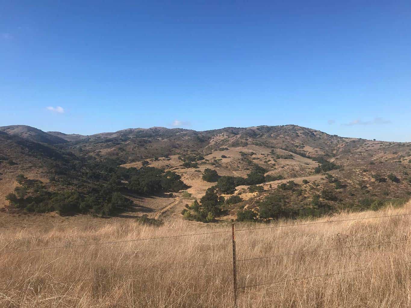
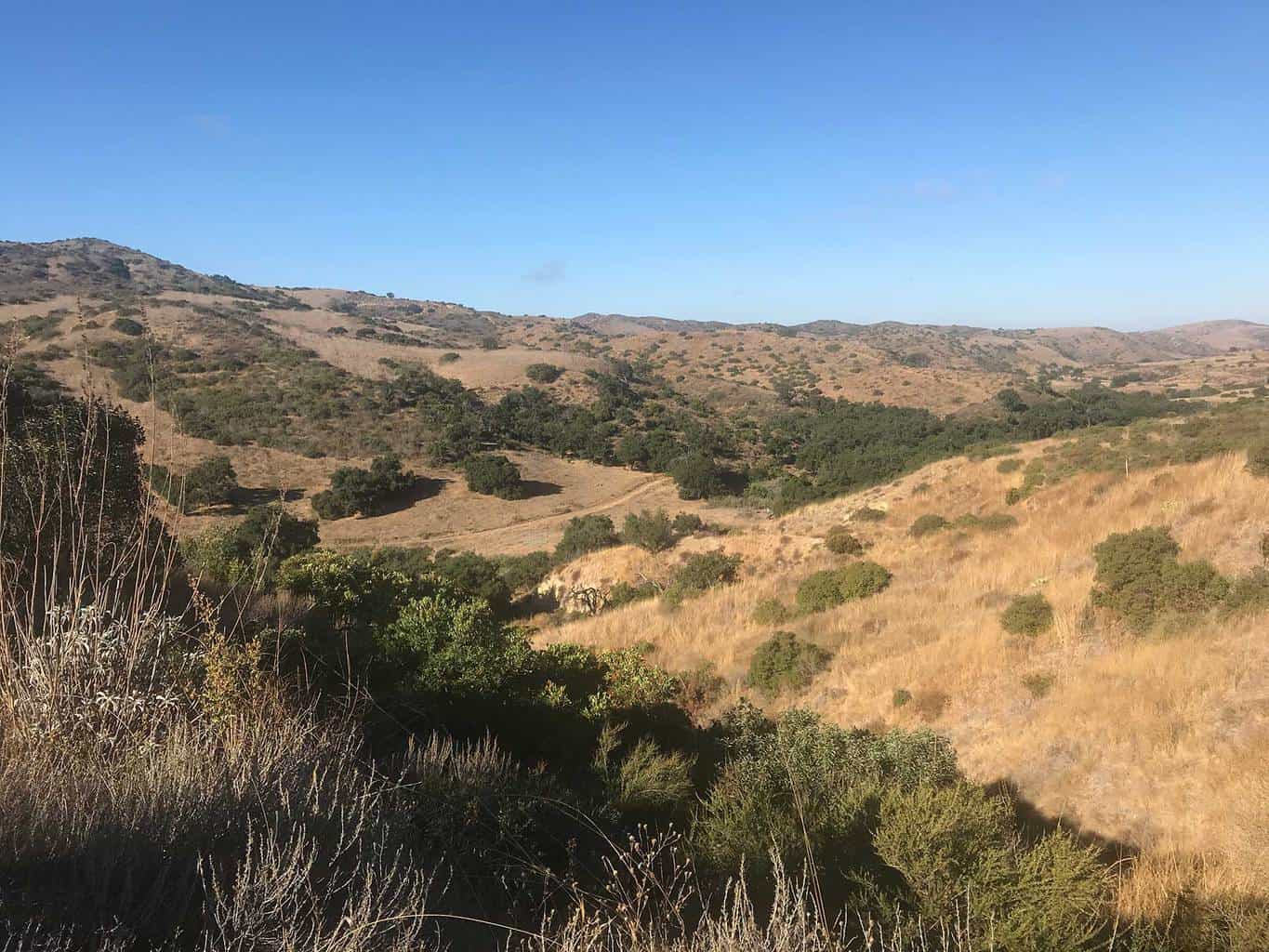
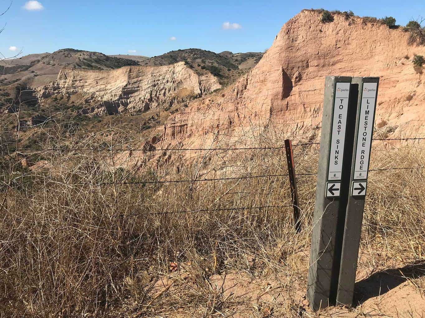
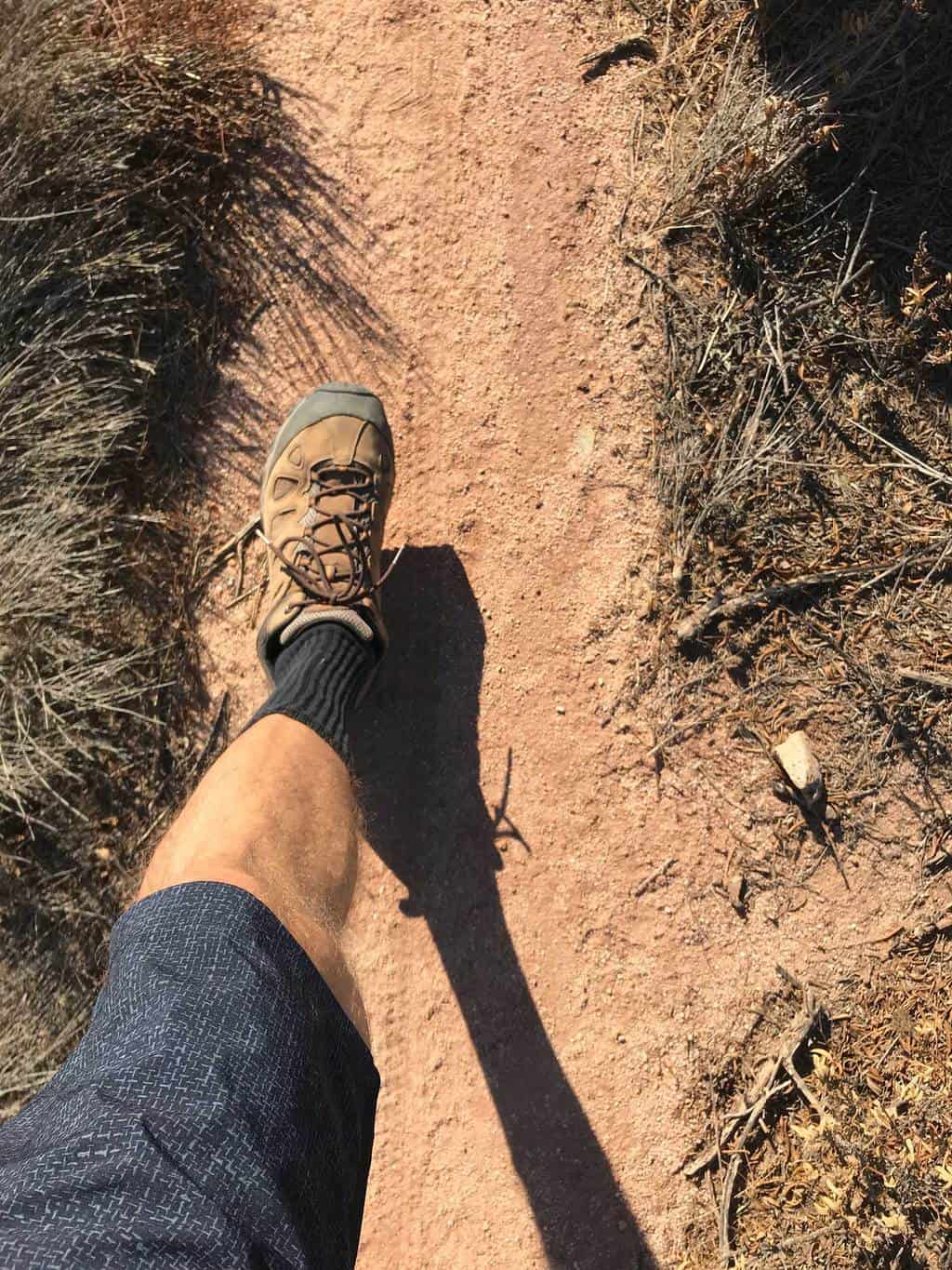
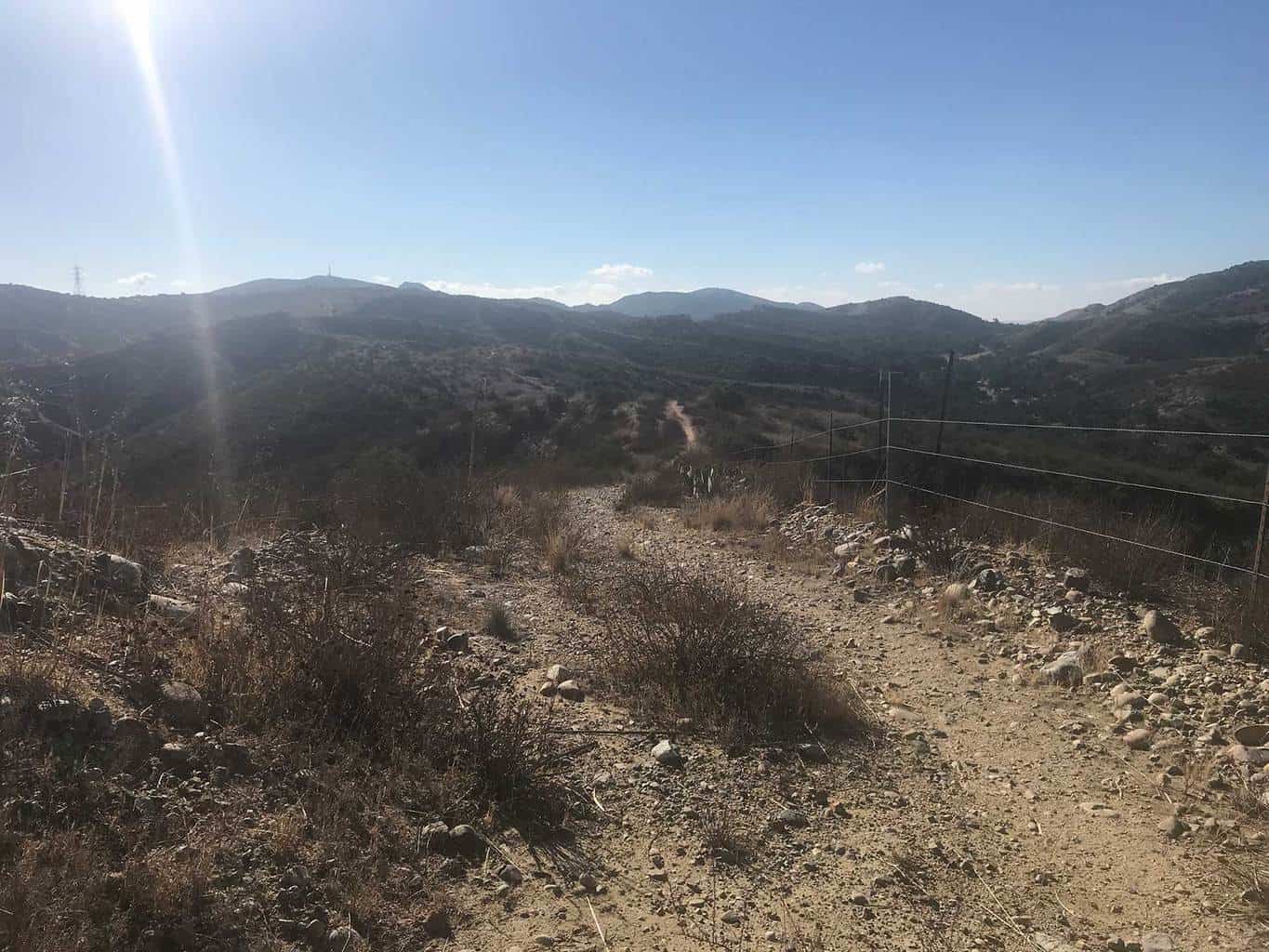
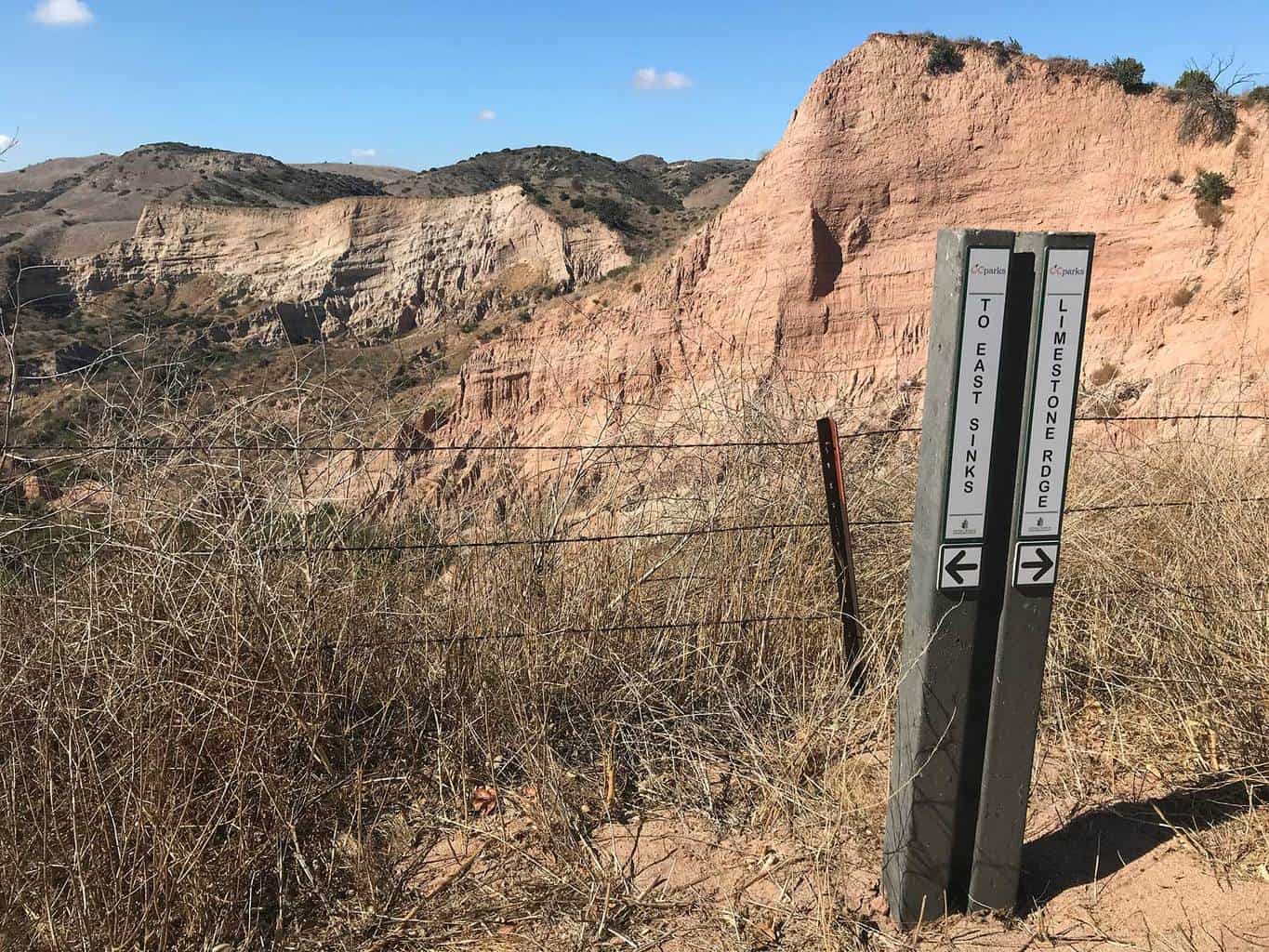
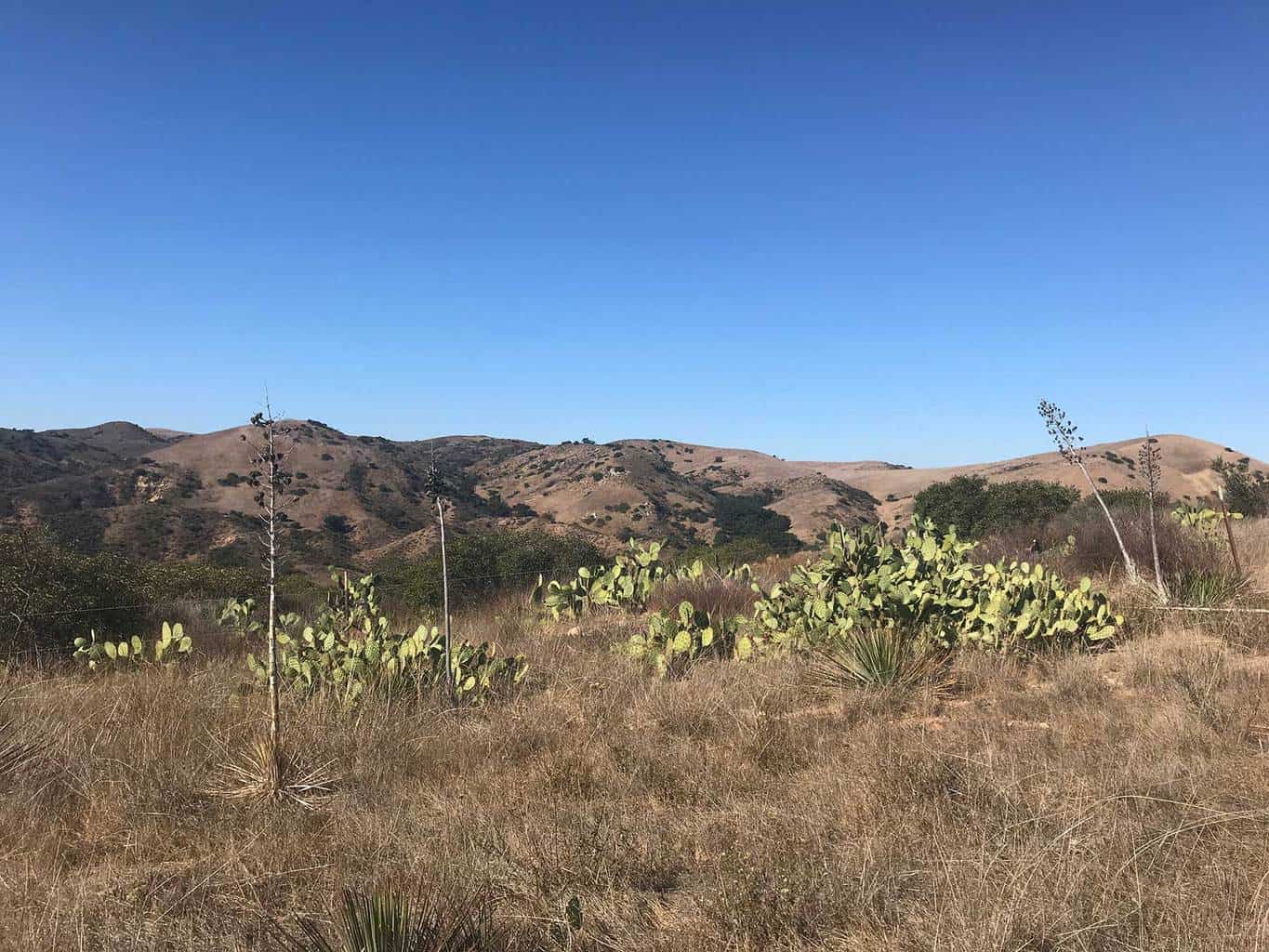
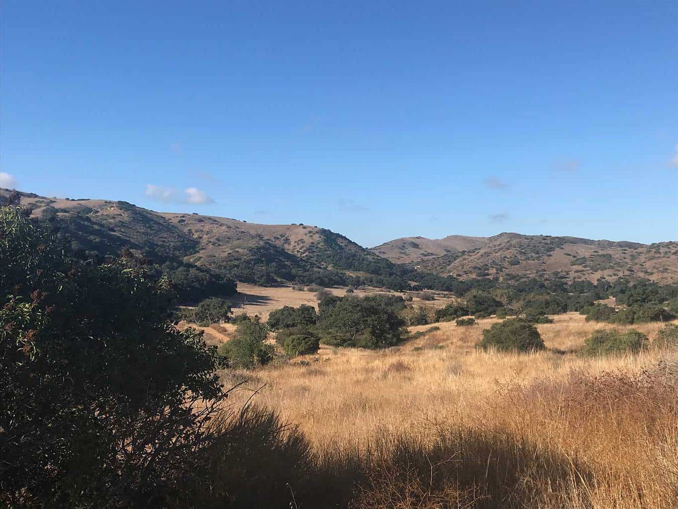
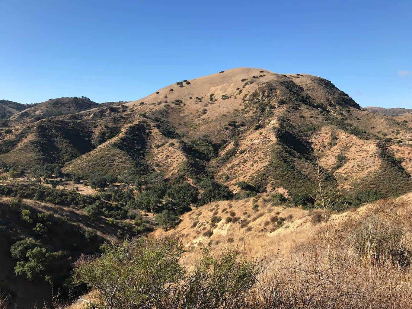
Starting from the Augustine Staging area, hikers will encounter oak groves and a rich diversity of plants and animals. The 3.8 mile trail to the sinks platform takes hikers along a creek through a shaded canyon to the Sinks viewing area. The canyon is a spectacular sight offering a unique view into a geological wonder of Orange County. On the return hike, adventurers can hike back on the same trail or hike along the top perimeter of the canyon, which provides scenic views of Limestone Canyon Regional Park.
The 7.5 round-trip trail is a moderate adventure and one to enjoy!
Scroll down for hiking trail pictures, map, and helpful tips.
Estimated Time: 3-3.5 hours
Total Distance: 7.5 miles
Map & Directions
Trail Pictures
Total Distance (miles)
Limestone Canyon Regional Park contains over 50,000 acres of protected land.
Total Estimated Time (hour)
The Sinks is part of the Sespe Formation, a unique geologic region in southern California.
The Sinks | Limestone Canyon Regional Park Photo Gallery
(click on image to rotate through image/s)


When to Go
Year-Round: Since limited groups of hikers are permitted in Limestone Canyon Regional Park, it’s recommended to plan your trip in advance and make a reservation 2-3 months in ahead on www.letsgooutside.org. However given the restricted accessibility and mild climate, hikers can enjoy this trail year-round.
Dog Friendly
No, only service dogs are permitted in the Limestone Canyon Regional Park.
Limestone Canyon Regional Park Hiking Trail Map
The Sinks Trail Directions
Augustine Staging Area (reservations required via Let’s Go Outside): E Santiago Canyon Rd, Silverado, CA 92676
Why We Liked It
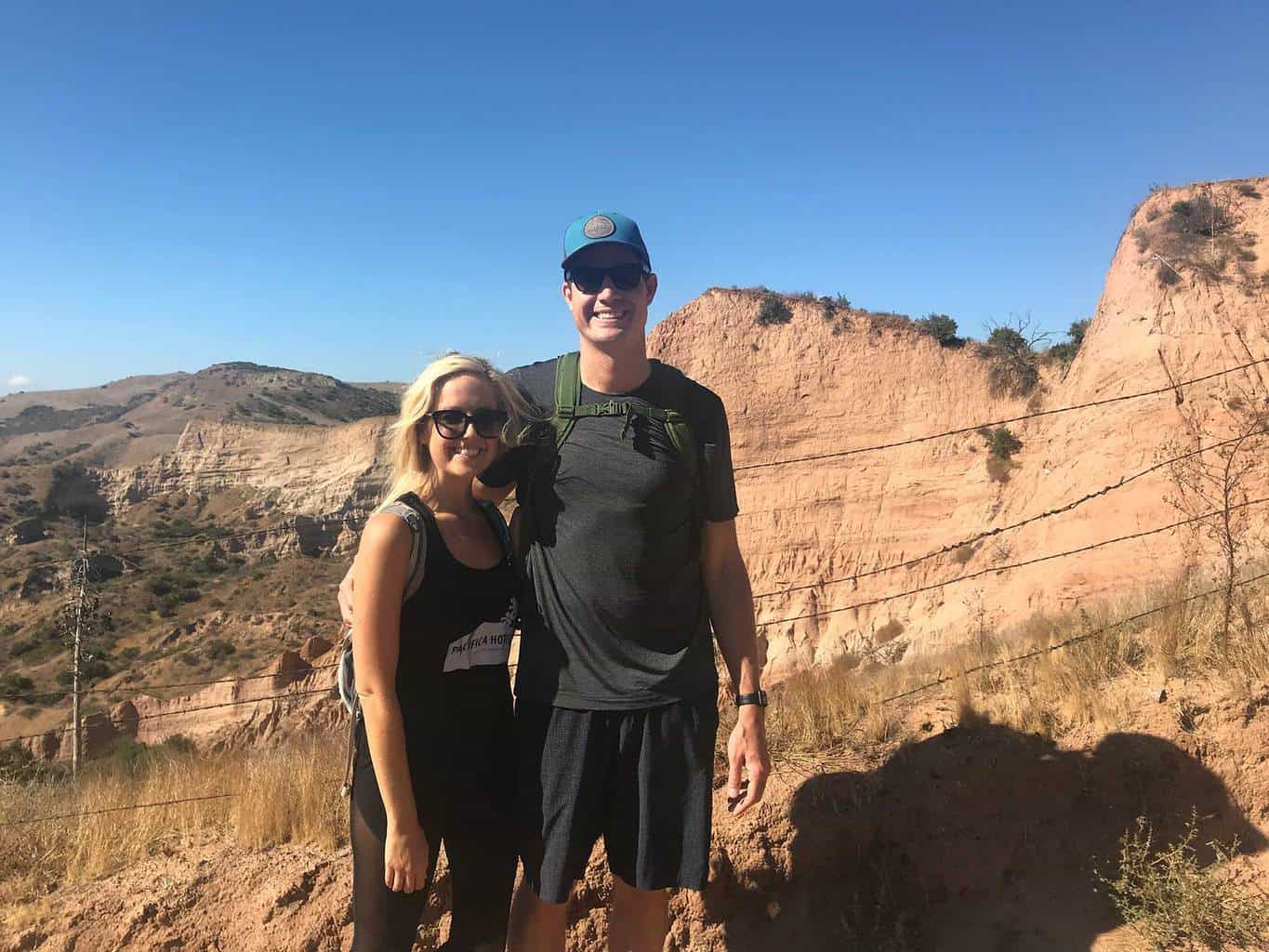
The Sinks is a spectacular sigh! It’s hard to believe this natural wonder exists int he heart of Orange County! From the various hues of color to the vastness of the canyon, we enjoyed exploring this region! This was also our first organized hike with the Irvine Ranch Conservancy and we really loved it! The group was a lot of fun and our guide was extremely knowledgable.
Discover a New Trail
Mount Rainer Hiking Trail
Best Mountain Rainer Hiking Trails: Located a two hour drive from downtown Seattle, Mount Rainer National Park features dozens of epic hiking trails to explore. The national park expands over 230,000 acres and features Mount Rainer, a 14,411 foot...
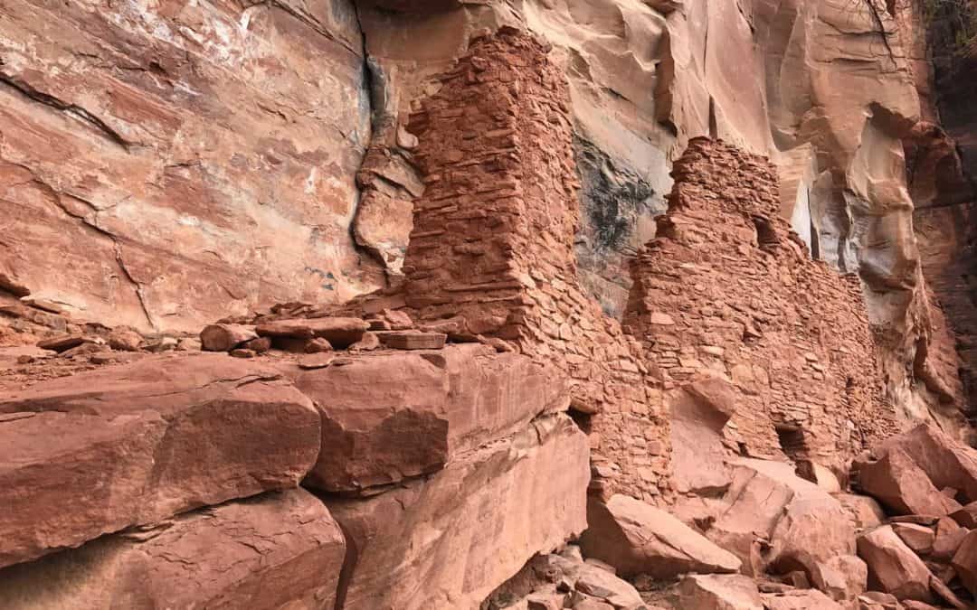
Palatki Heritage Site Hiking Trail
Discover the Paltaki Heritage indian ruins in Sedona, Arizona. Explore incredible hiking trails and see the famous archaeological site in Coconino Forest.
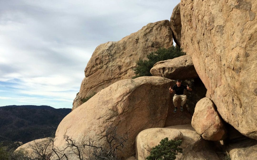
The Pinnacles Hiking Trail | Lake Arrowhead Hike
Discover the Pinnacles Peak hiking trail in Lake Arrowhead. See why this Lake Arrowhead hiking trail is one of the best in the region for hiking & climbing.