Comet and Christine Falls Hiking Trail
Best Mountain Rainer Hiking Trails: Located a two hour drive from downtown Seattle, Mount Rainer National Park features dozens of epic hiking trails to explore. The national park expands over 230,000 acres and features Mount Rainer, a 14,411 foot stratovolcano. The park is surrounded by several glaciers and is a popular destination for hikers, climbers and adventurers.
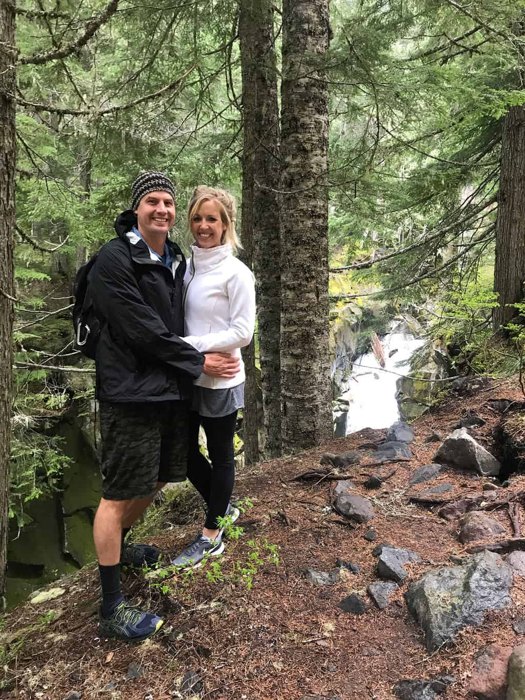
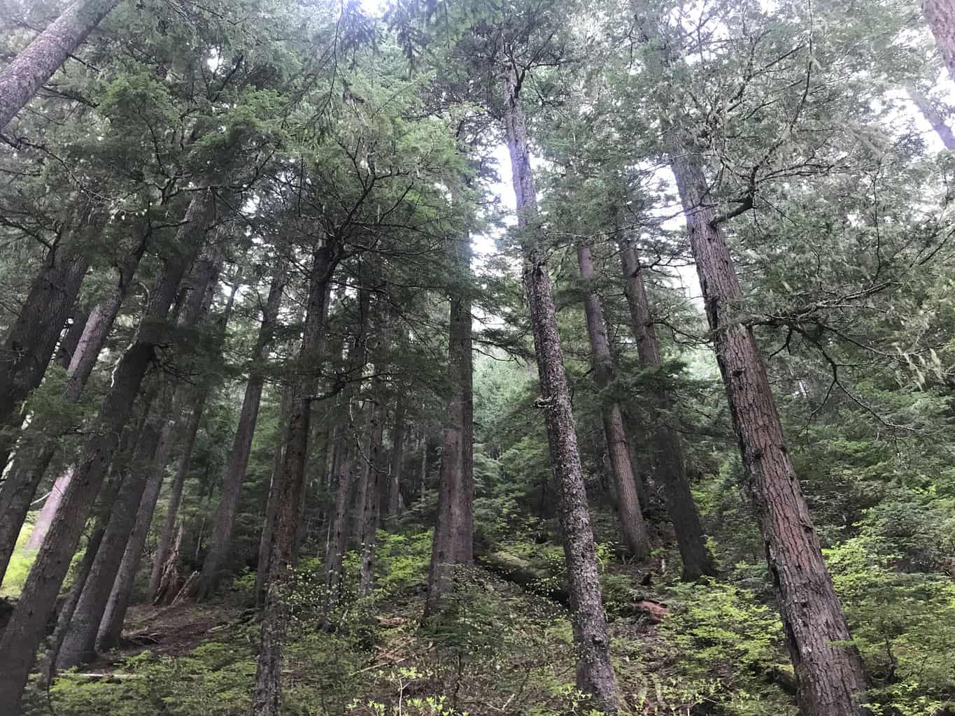
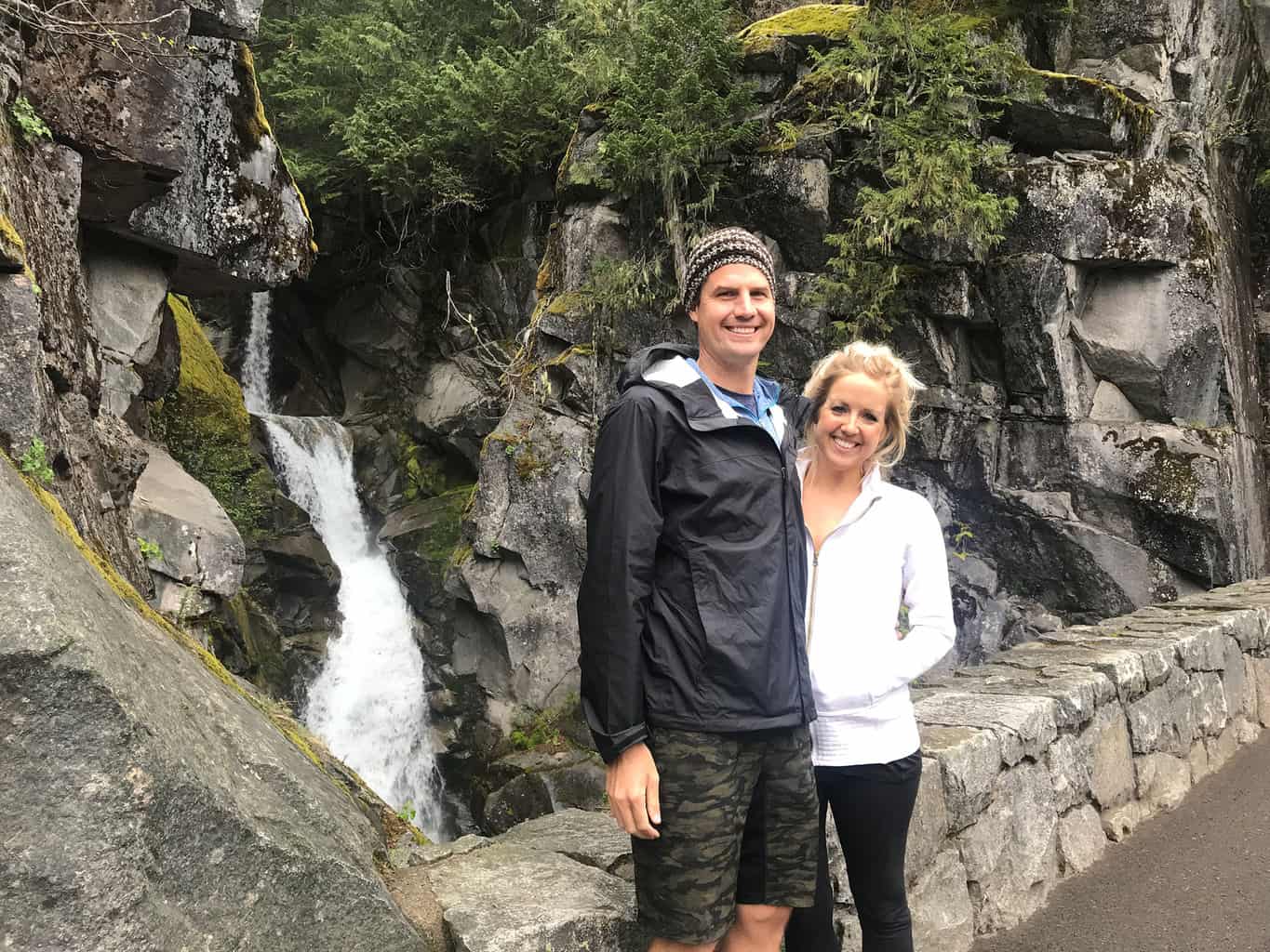
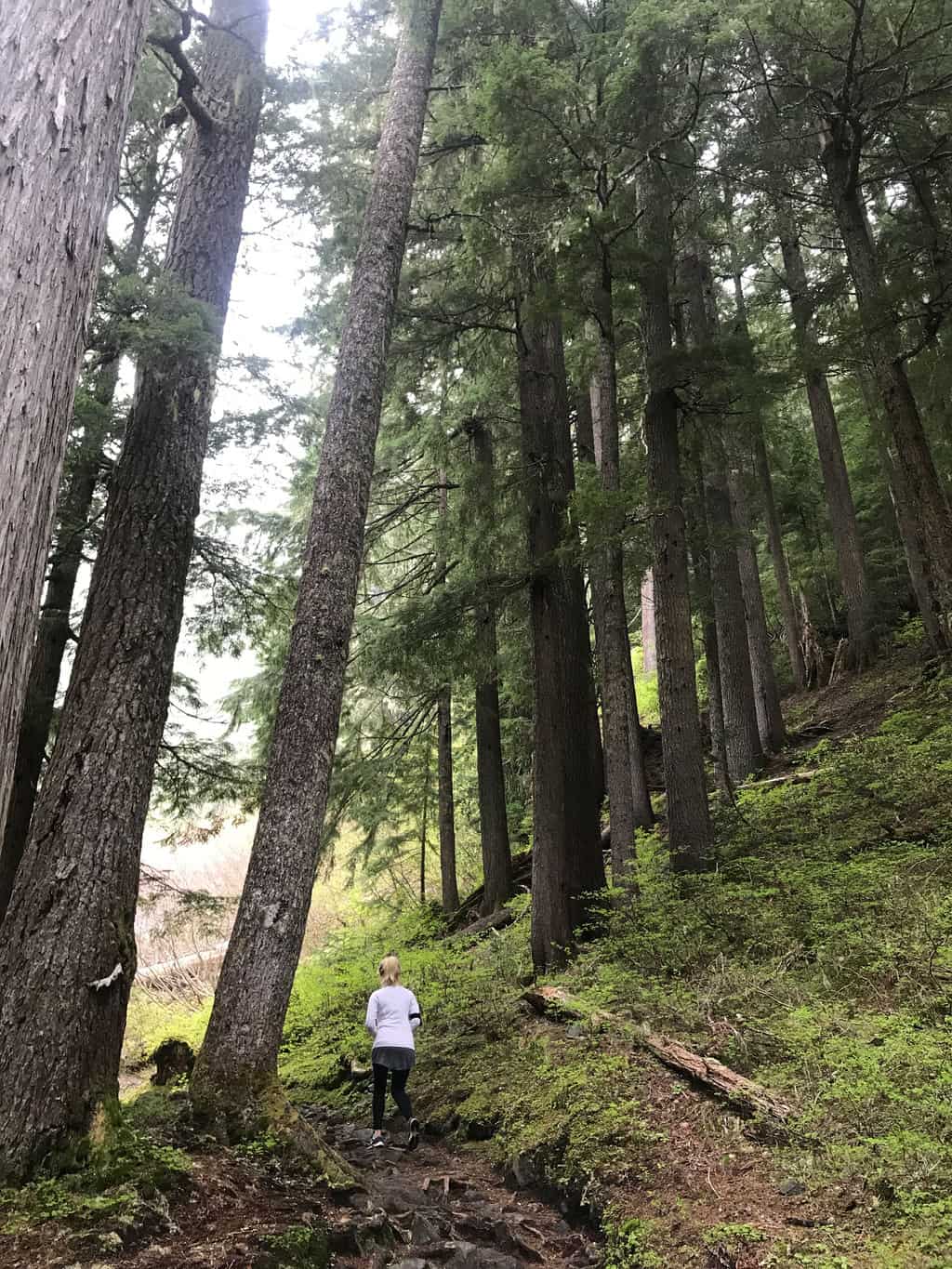
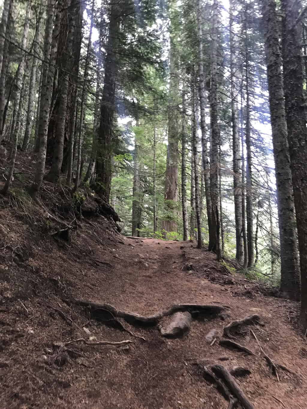
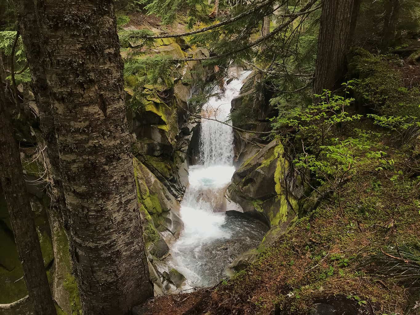
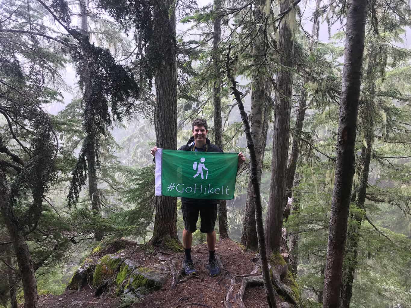
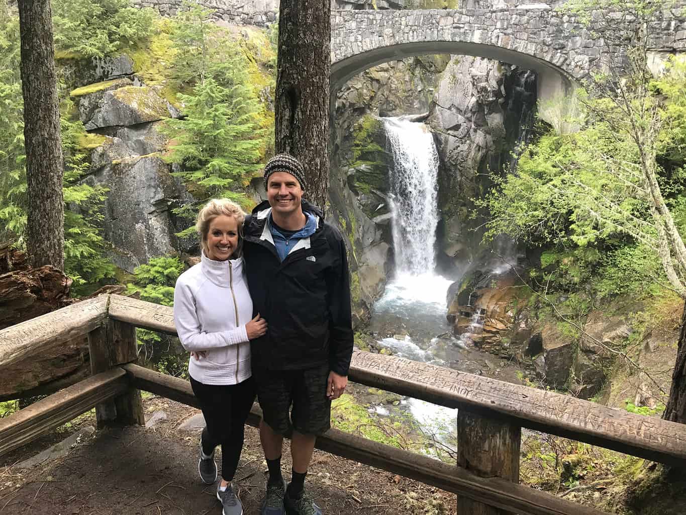
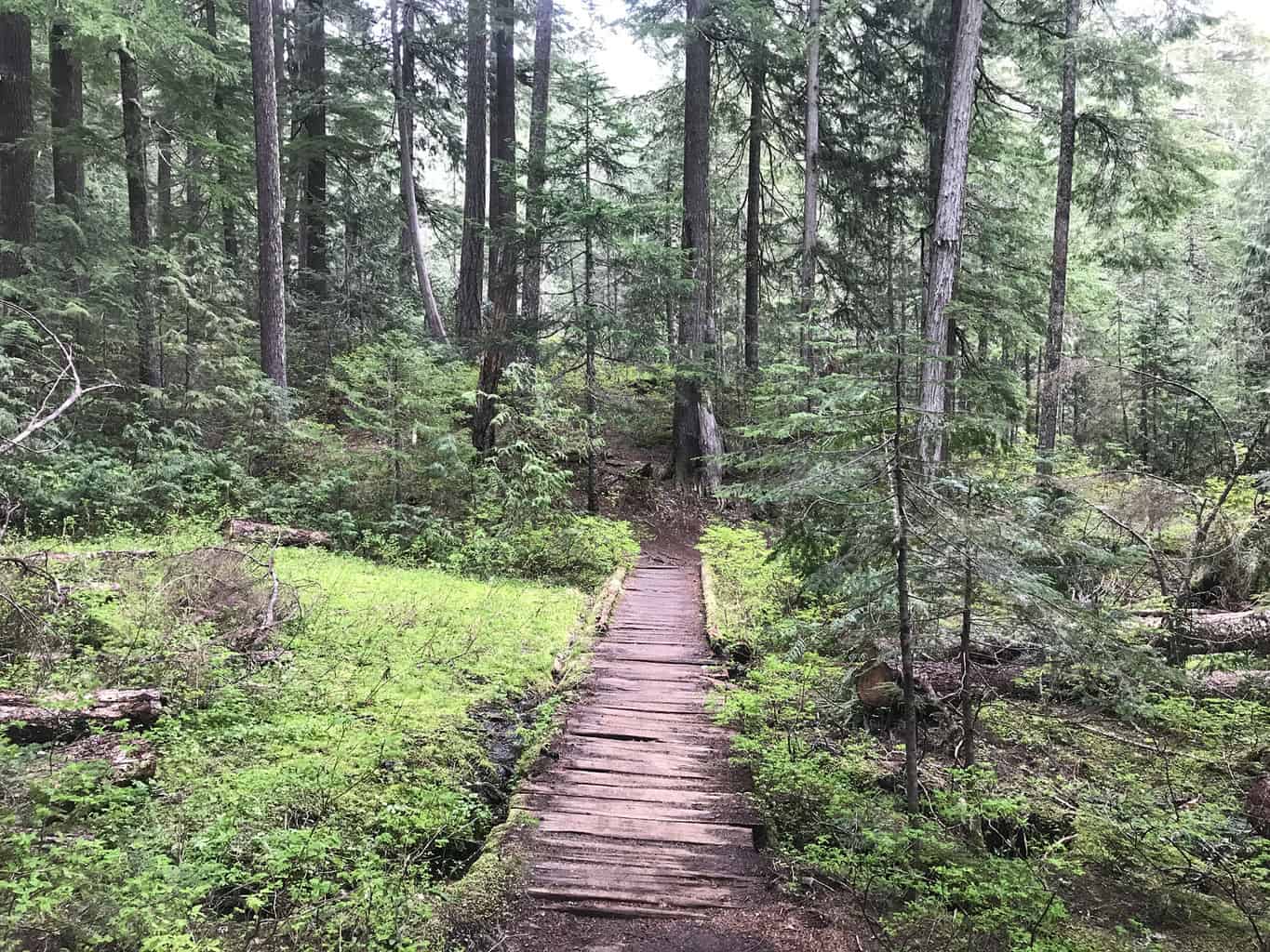
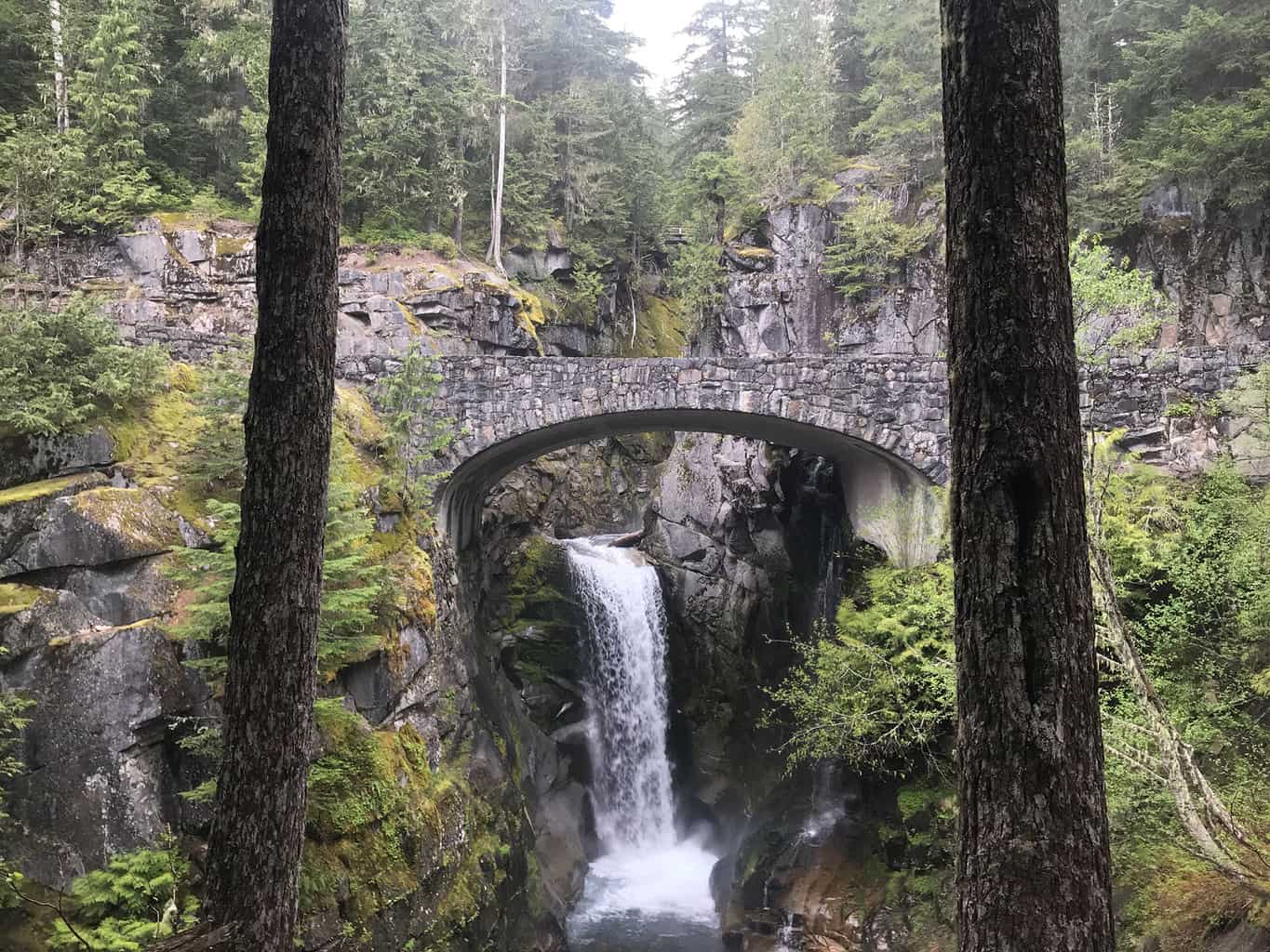
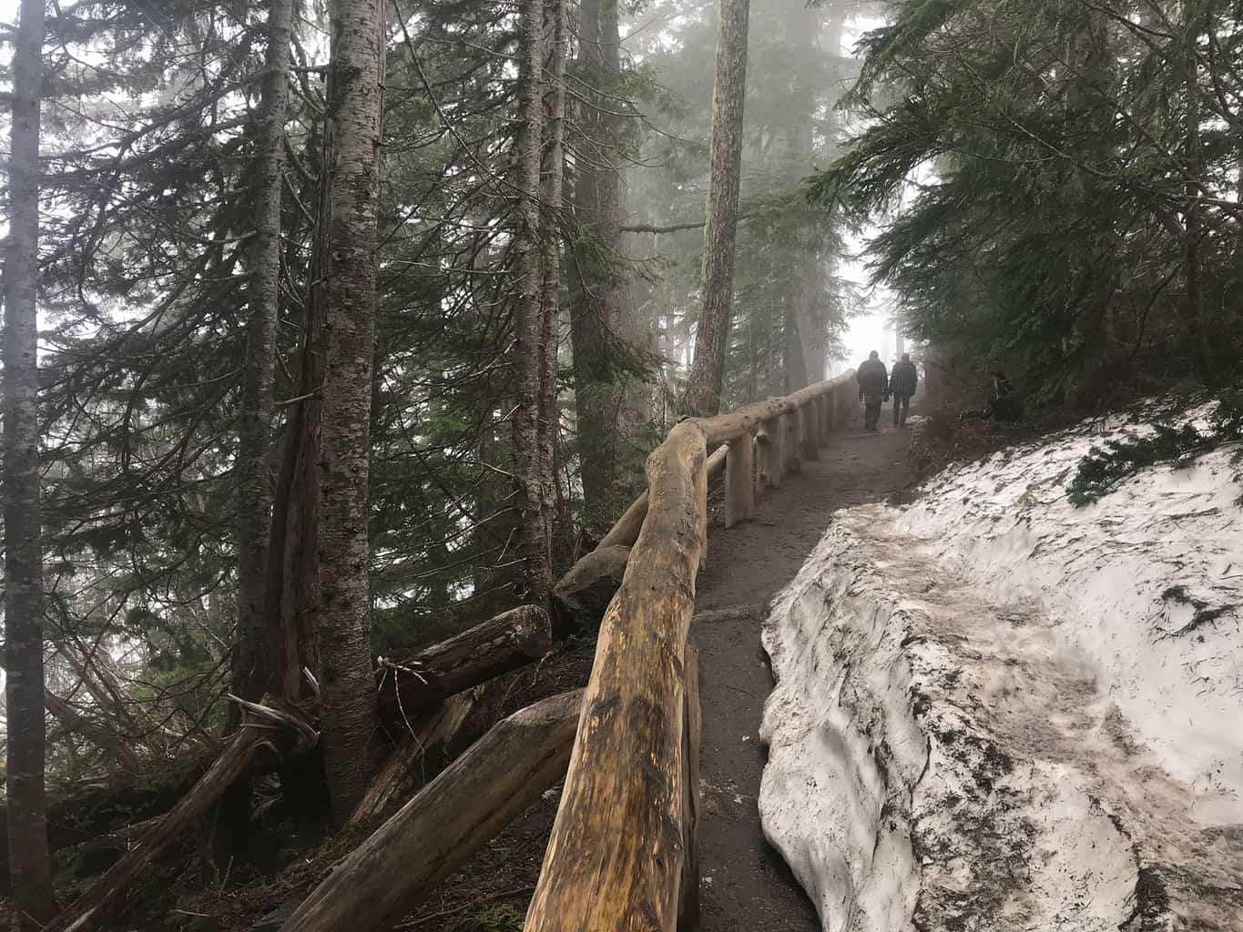
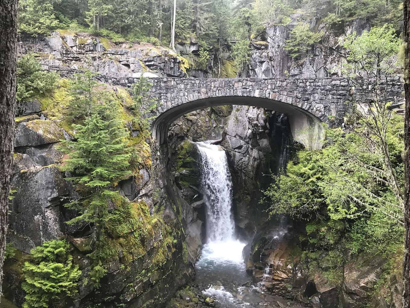
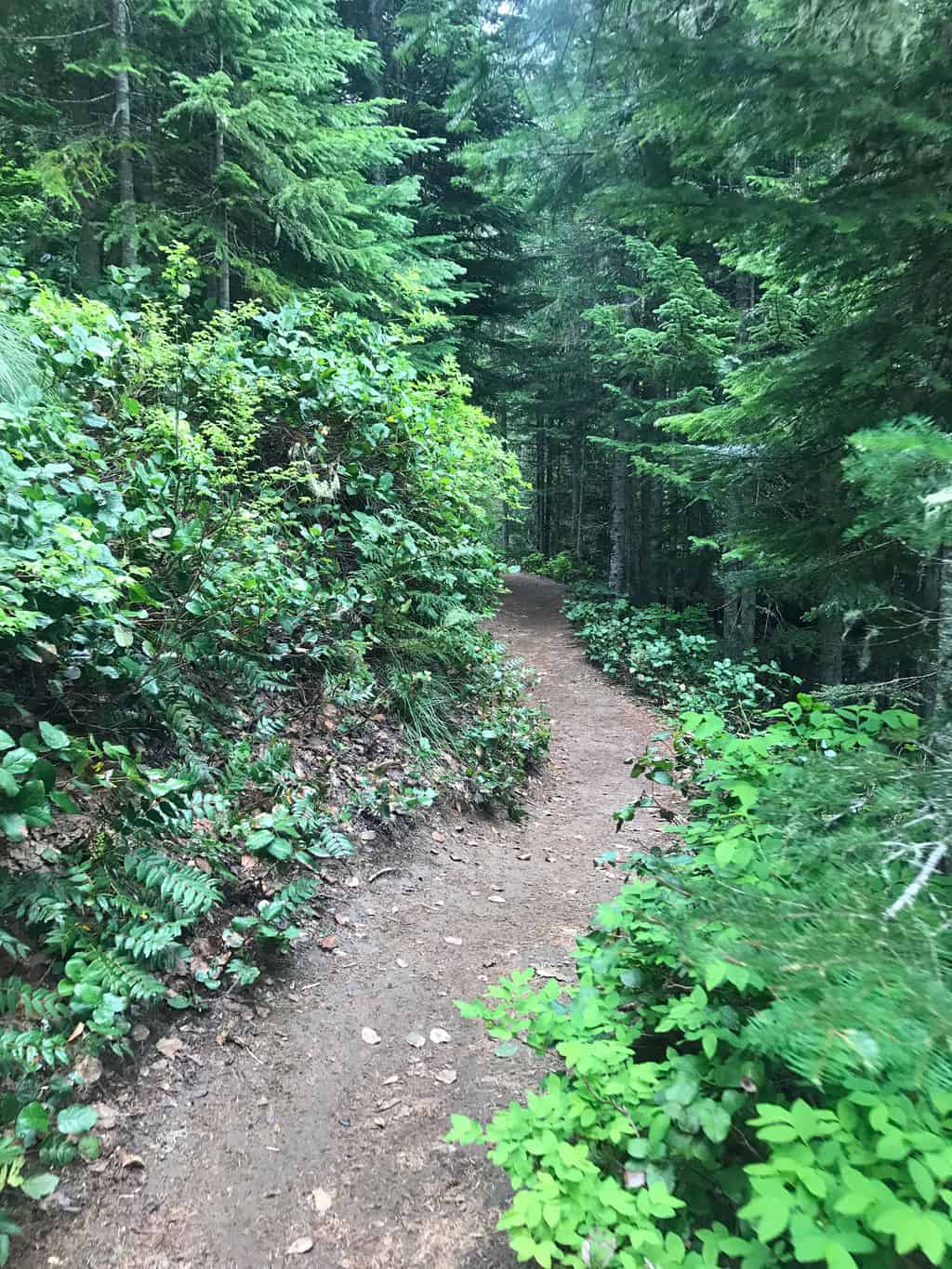
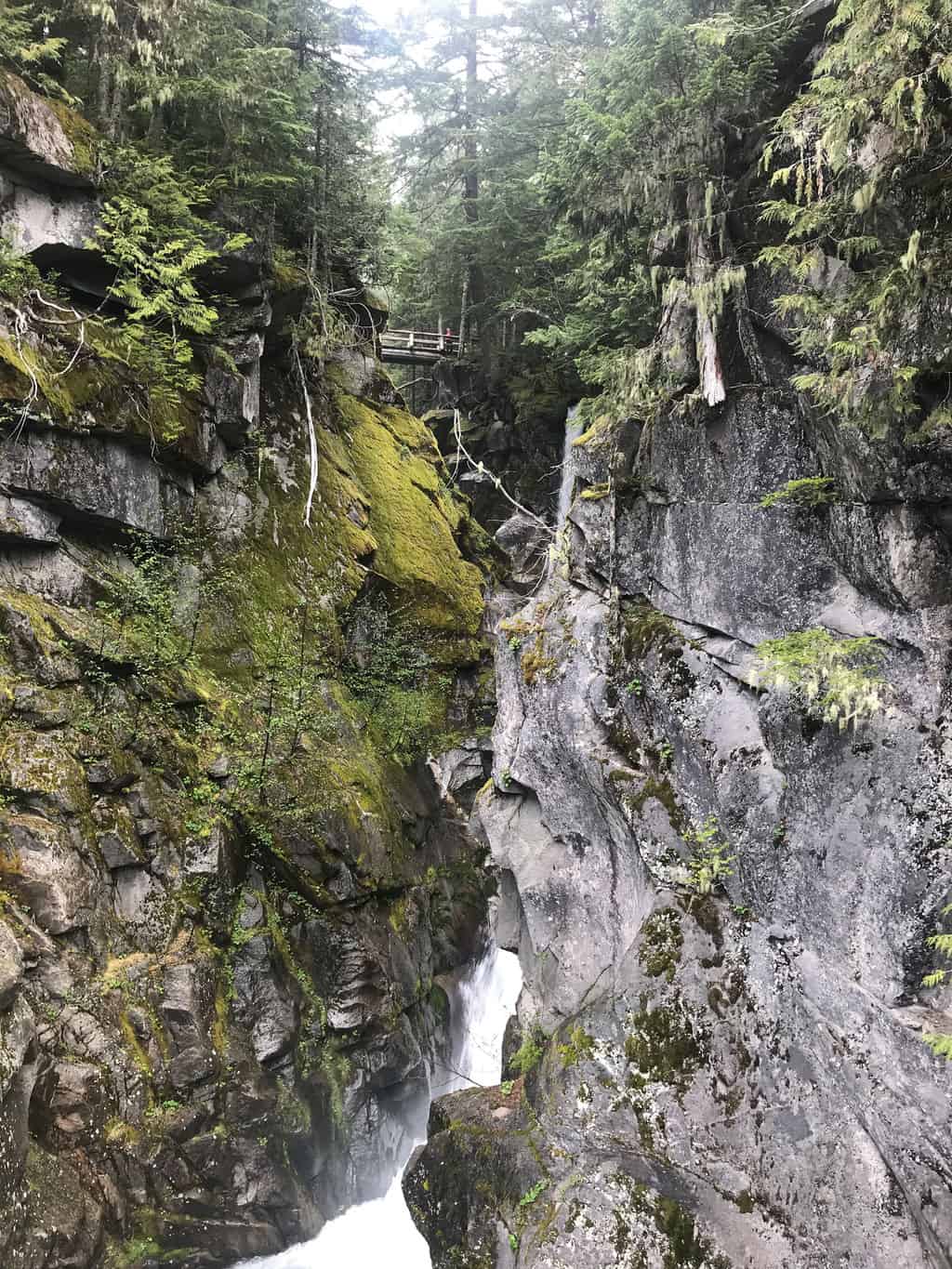
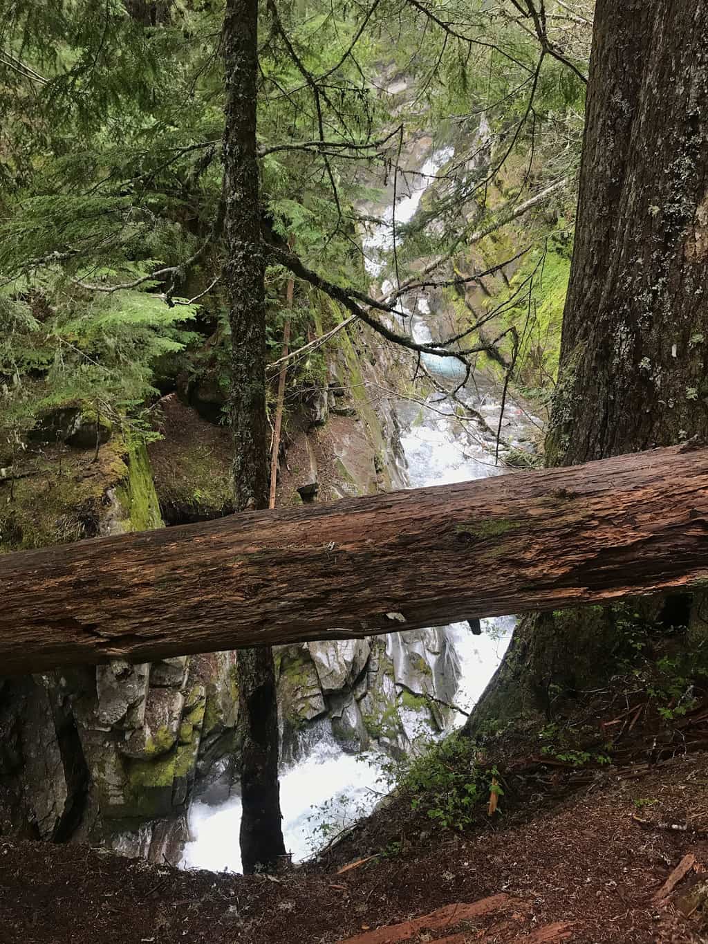
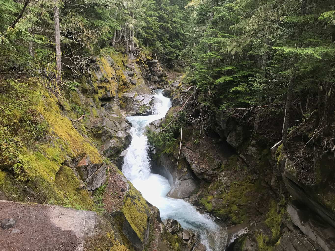
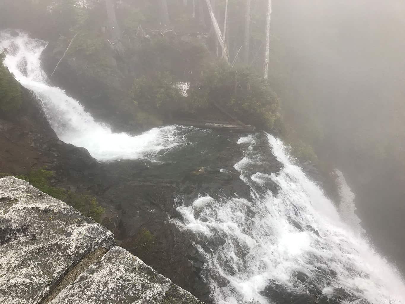
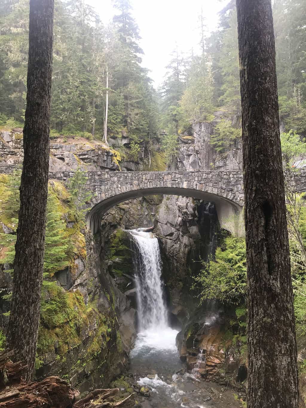
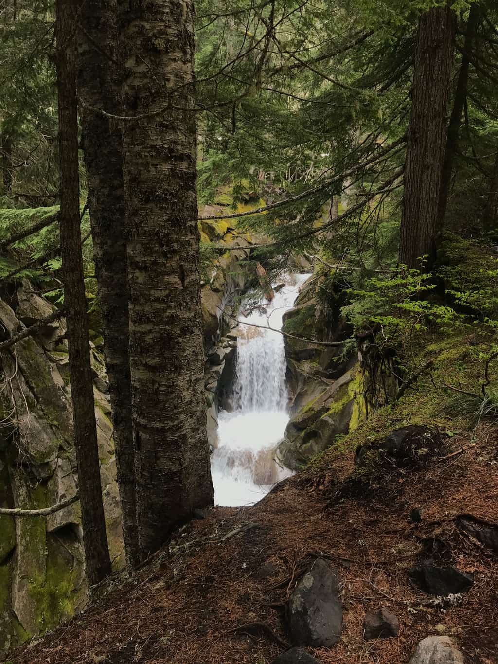
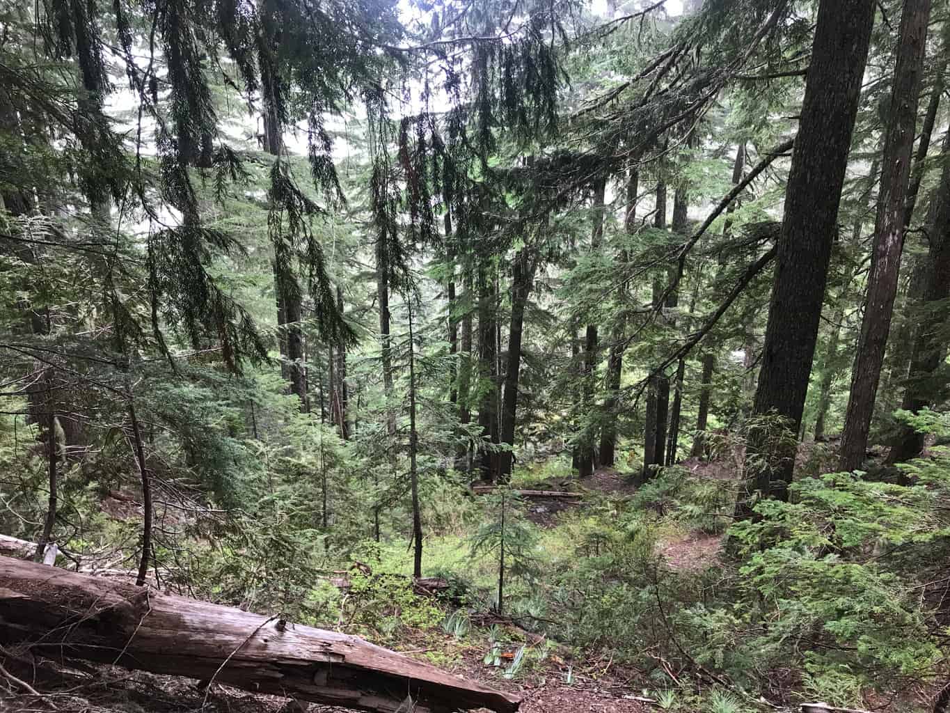
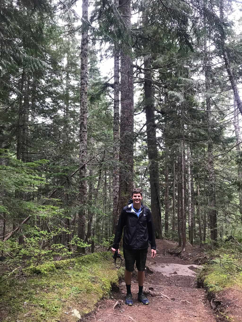
For this Seattle hiking adventure, The Go Hike It team enjoyed the Comet and Christine Falls Hiking trail, which features beautiful views of the Van Trump Creek, waterfalls, gorge and the towering forest. The hike is a 4.2 mile out and back hike that is well marked with trail signage. The parking area is limited and it can be difficult to access the park during summer months, so make sure to arrive early. Scroll down to see the hiking trail map and directions.
Tip: As Mount Rainer National Park has limited aid stations that are scattered throughout the park, make sure to bring plenty of snacks, water and a first aid kit.
Estimated Time: 2-2.5 hours
Total Distance: 4.5 miles
Map & Directions
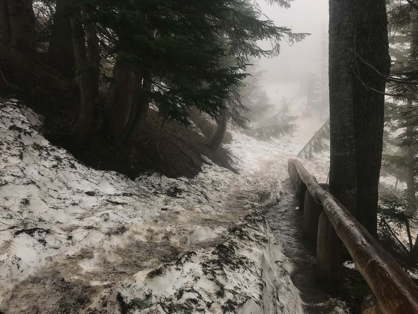
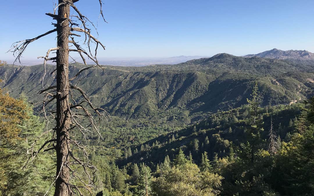
Trail Pictures
Total Distance (miles)
There are several animals that inhabit Mount Rainer National Park, including cougars, black bears, beaver, foxes, falcons, porcupines and more!
Total Estimated Time (hours)
Mount Rainer National Park was designated a National Historic Landmark on February 18, 1997.
Comet and Christine Falls Photo Gallery
(click on image to rotate through image/s)


When to Go
July-October: As Mountain Rainer retains snow for several parts of the year, it’s recommended to hike the park’s trails during the July and October months. Try and arrive as early as possible to the park as it’s a popular destination for the Washington area and crowds will be limited from entering the park.
Dog Friendly
No, dogs are not permitted in Mount Rainer National Park. Only service dogs.
Mount Rainer National Park Trail Map
Mount Rainer National Park Trail Directions
Address for GPS: Search “Comet Falls Trailhead” on Google Maps or enter the following GPS coordinates “46.778747, -121.783440”
Why We Liked It
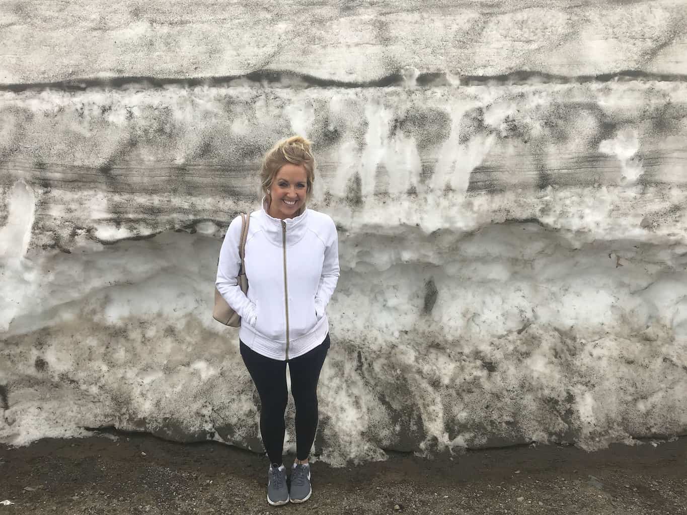
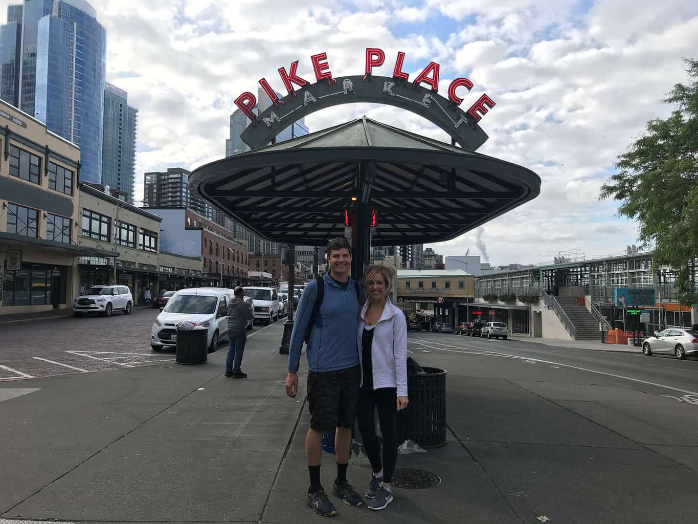
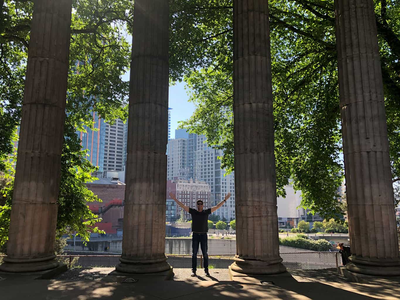
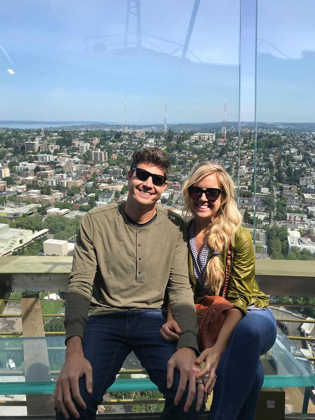
Seattle features several incredible destinations to discover, including the popular landmarks, such as Pike Market and The Space Needle. However, the area’s true adventures lie outside of the city and extend into the area’s forests and National Parks. We loved exploring Mount Rainer National Park and were truly captivated by the park’s natural beauty and terrain diversity. For example, after the Comet and Christine Falls hike, we ventured up closer to Mount Rainer’s summit and saw a ten foot snowbank in late May!
Mount Rainer National Park is a hiking bucket list destination for Washington natives and visitors alike! Enjoy!
Discover a New Trail
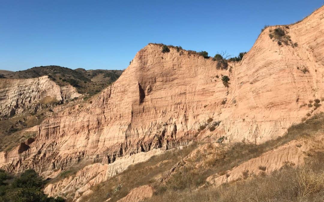
The Sinks Trail Limestone Canyon Regional Park
Discover Orange County’s mini Grand Canyon and hike The Sinks in Limestone Canyon Regional Park. See trail maps, directions, pictures and more! Go Hike It!
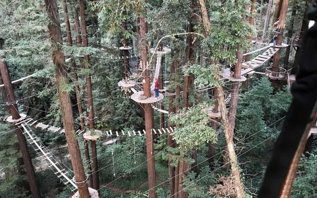
Mount Hermon Adventure Canopy Tour Reviews
Mount Hermon Redwood Canopy Tours is an outdoor adventure park featuring swings, bridges, logs, cargo nets and zip lines! Located near Santa Cruz, CA, this thrill seeking adventure is an amazing adventure. See pictures and reviews of this epic outdoor park.
Lake Arrowhead to Lake Gregory Hike
Discover the scenic Lake Arrowhead hike trail that goes to Lake Gregory. See trail pictures, hiking map and reviews. Discover one of the best hiking trails in Lake Arrowhead.