Lake Arrowhead Hiking Trail
North Shore Trail | Lake Arrowhead Hiking Trail
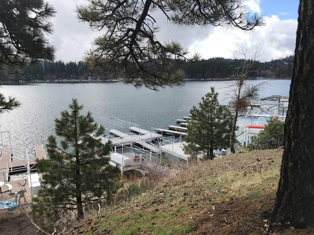
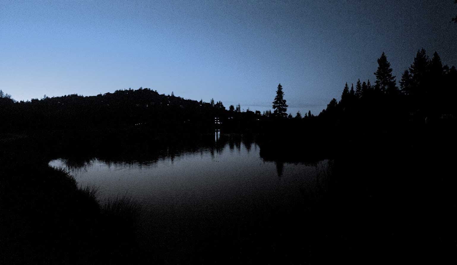
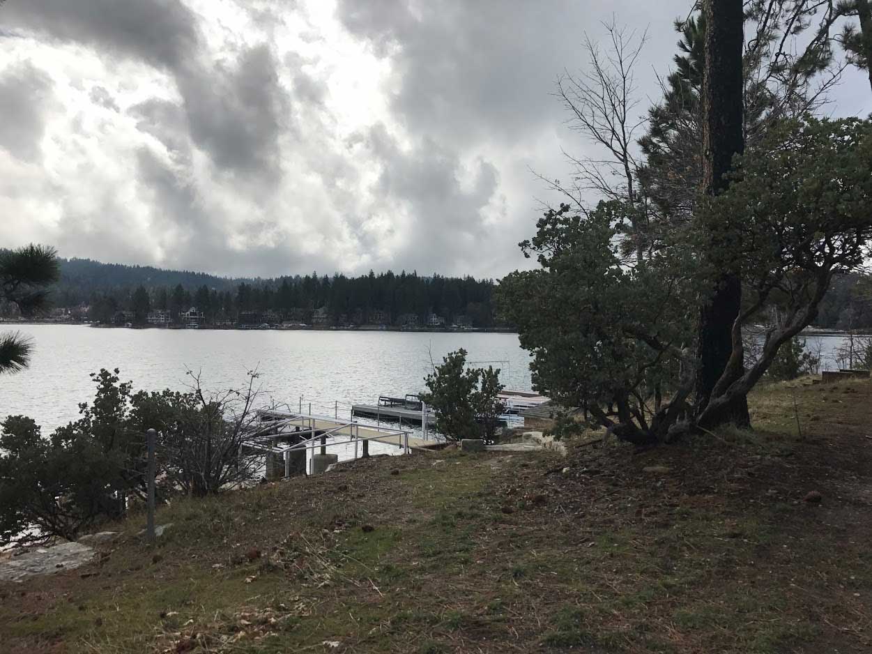
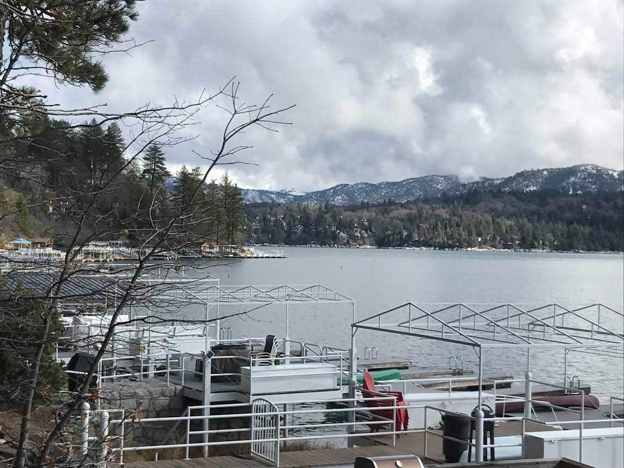
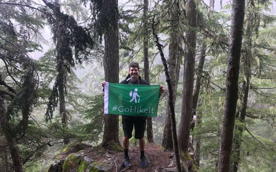
The North Shore Trail: Hosting over 4 million annual tourists, Lake Arrowhead is popular mountain destination for Southern California Residents. The private lake features boating, water skiing, fishing and even hiking! For this #GoHikeIt adventure, the team takes you along the North Shore Trail, which borders the lake’s perimeter. This trail is managed by the Lake Arrowhead Association. You’ll need to be with an Lake Arrowhead property owner to enjoy this hike.
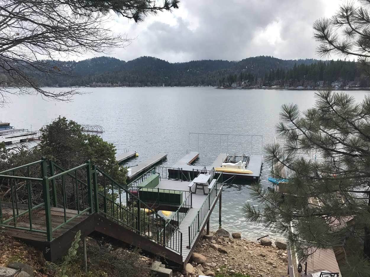
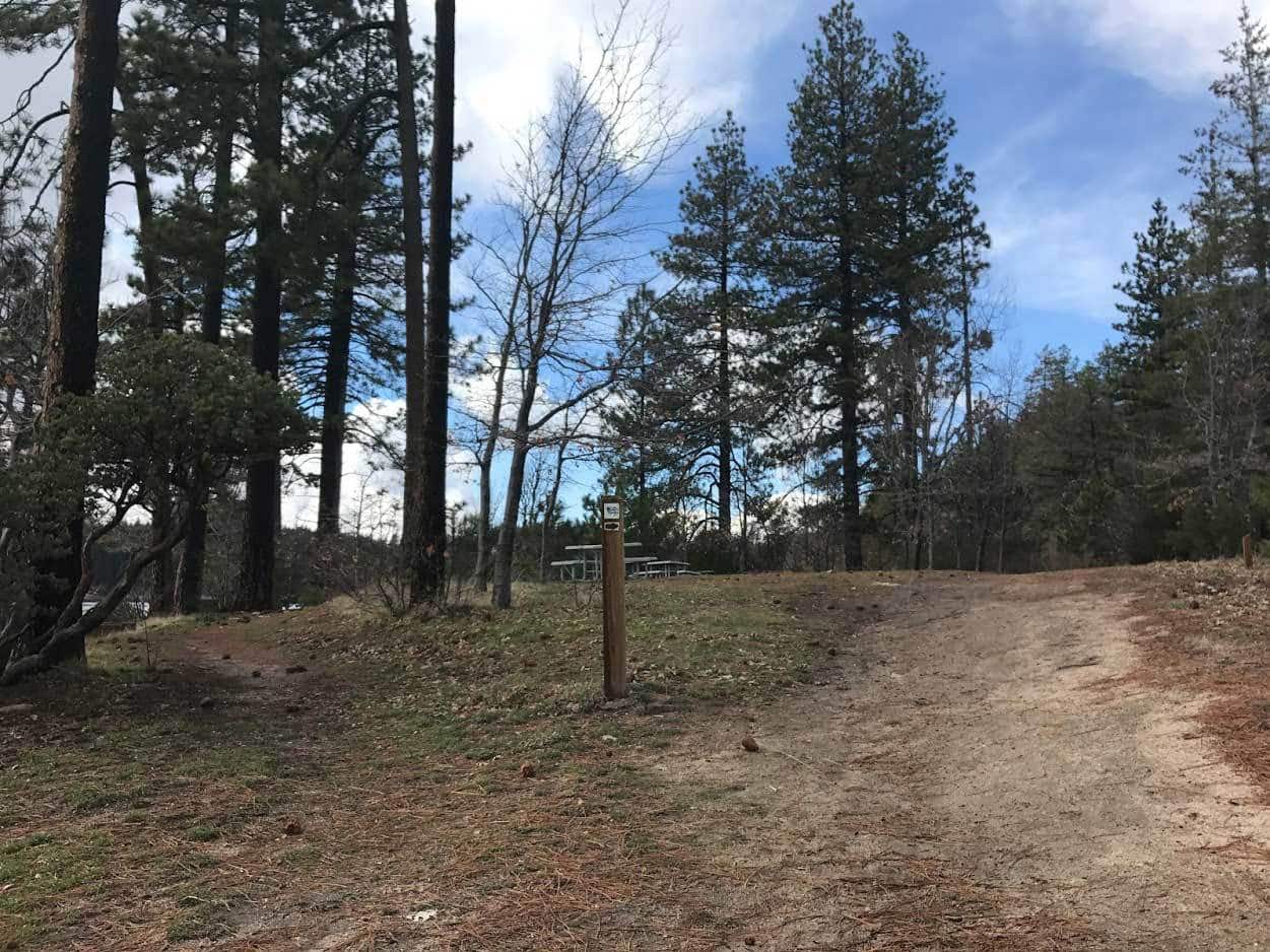
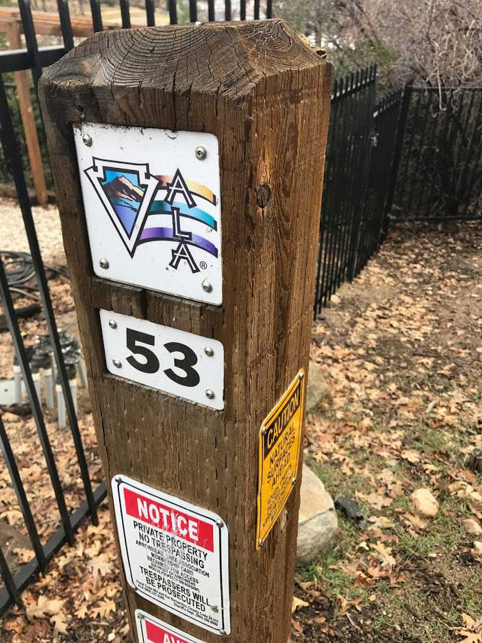
Situtated near the UCLA Conference Center, the North Shore Trail takes hikers along between multi-million dollar lakefront homes and the lake’s edge. Since most of the lake has limited lakefront trails, the North Shore Trail is unique as it features scenic lakefront views throughout this easy-to-moderate hiking adventure. The trail is marked with various ALA (Arrowhead Lake Association) markers. Make sure to stay on the trail path as other sections of the trail/area are private property.
Estimated Time: 1 hour
Total Distance: 2-3 miles (round-trip)
Map & Directions
Trail Pictures
Total Distance (miles)
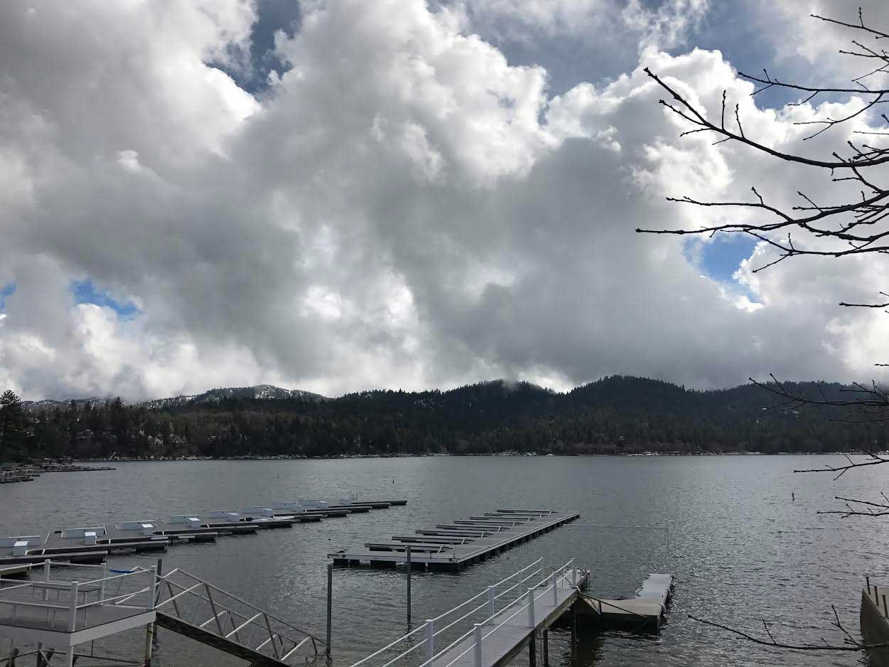
Lake Arrowhead is over 1.5 miles wide.
Total Estimated Time (hour)
The maximum depth of Lake Arrowhead is 185 feet.
Lake Arrowhead Hiking Trail Photo Gallery
(click on image to rotate through image/s)


When to Go
Spring, Summer, WInter: The trail is open year round. However during the colder winter months, sections of the trail may be closed.
Dog Friendly
Yes, dogs on leashes are allowed on the North Shore Trail in Lake Arrowhead, CA.
Trail Directions
Lake Arrowhead Trail Map GPS Coordinates: (34.2643735, -117.1861998).
Lake Arrowhead Hiking Trail Map
Why We Liked It
Lake Arrowhead is a magical place! The North Shore Trail allows hikers to have an upclose view to the beautiful lake, dense forest and custom mountain cabins. As it can be difficul to find public access points ot the lake, The North Shore Trail provides an opportunity for the public to experience the lake up close! It’s a relatively easy hike and fun experience to share with a family.
Discover a New Trail
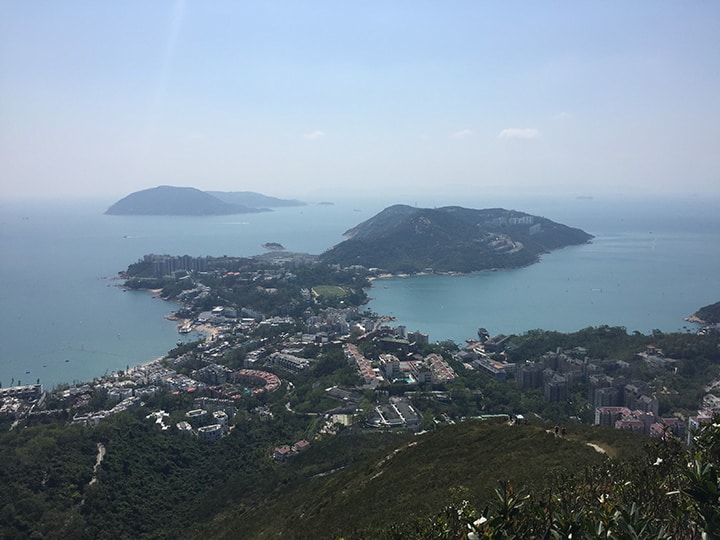
The Twins and Violet Hill (Wilson Trail- Stage 1)
Discover the Twins and Violent Hill dog-friendly Hiking Trail in Hong Kong near the Wong Nai Chung Reservoir. See trail map, directions, photos and more!
Mount Rainer Hiking Trail
Best Mountain Rainer Hiking Trails: Located a two hour drive from downtown Seattle, Mount Rainer National Park features dozens of epic hiking trails to explore. The national park expands over 230,000 acres and features Mount Rainer, a 14,411 foot...
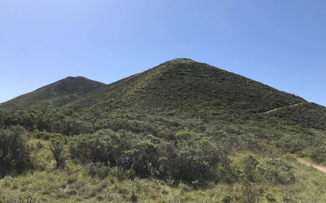
Montaña de Oro State Park Hiking Trail
Discover Montaña de Oro State Park and see the Valencia Peak Hiking Trail, the best hiking trail in Los Osos and Morro Bay. See hiking trail photos, maps, guides and reviews.