Hawaii Volcanoes National Park Hiking Trail
Hawaii Volcanoes National Park Hiking Trail
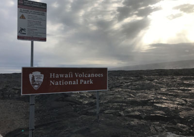
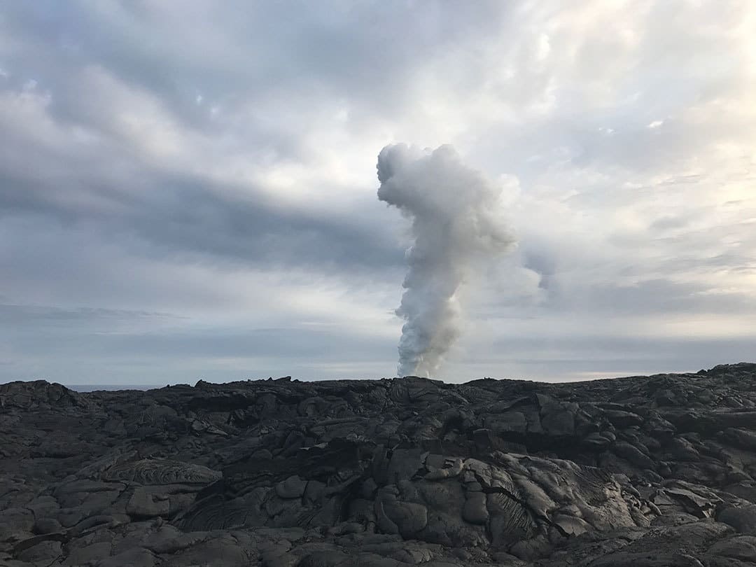
Best Hawaiian Islands Hiking Trail: Established in 1916, Hawaiʻi Volcanoes National Park is the Big Island’s featured attraction and includes over 300,000+ acres of land and two active volcanoes: the Kīlauea and Mauna Loa volcanoes. The Mauna Loa volcano last erupted in 1984 and the Kilauea volcano has been flowing lava since 1983. On average, the Kilauea volcano produces about 50,000-650,000 cubic yards of lava per day, which is equivalent of producing enough asphalt to surface a 20-mile two-lane road daily.
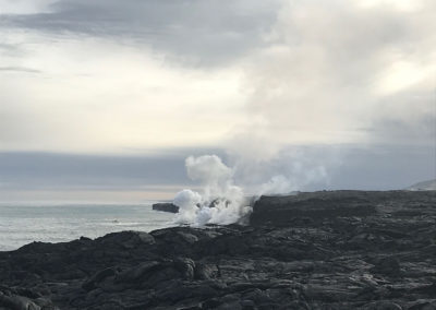
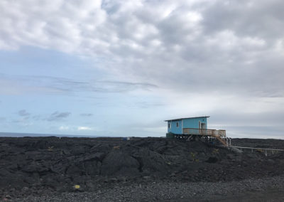
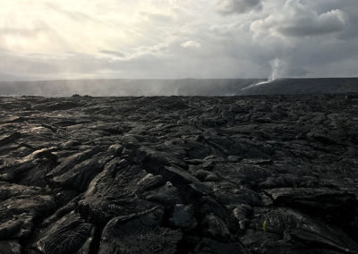
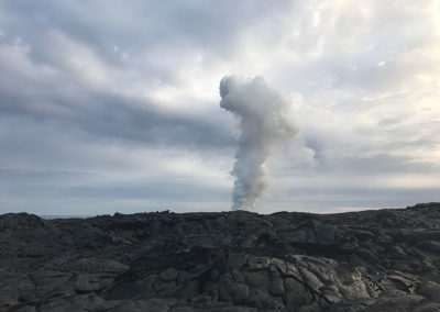
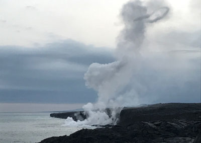
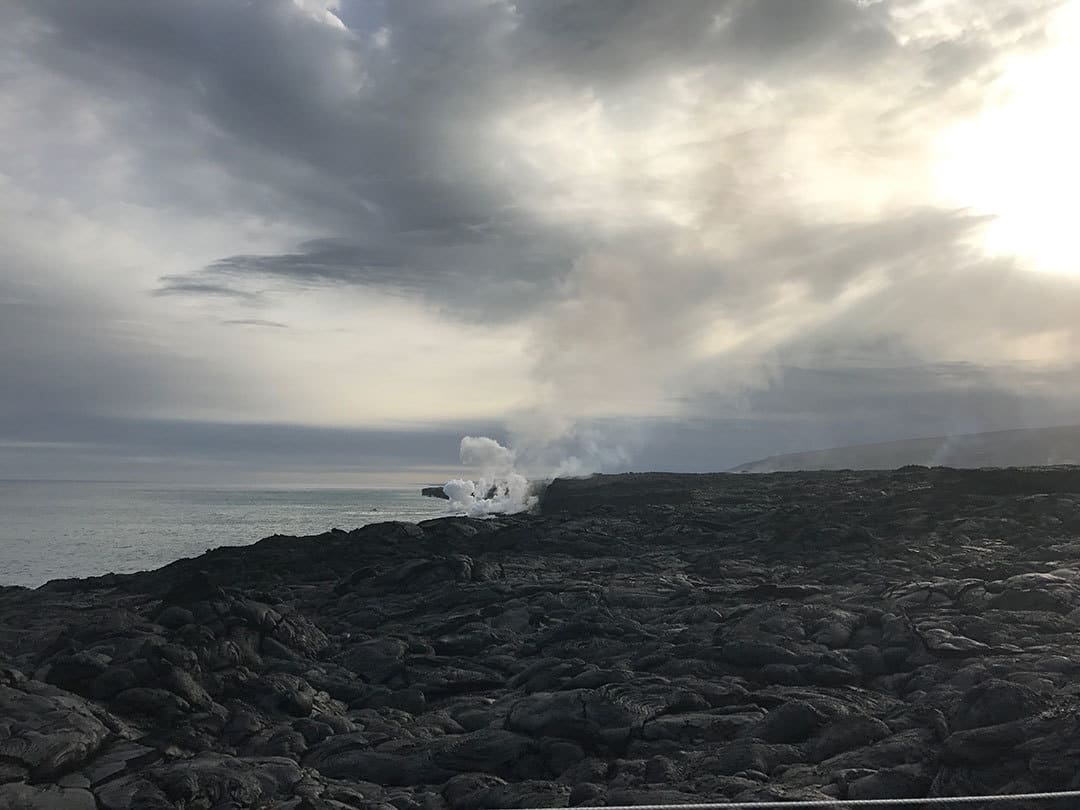
For this #GoHikeIt Hawaii hiking adventure, the team explored the park from the Chain of Craters Road, which is accessible about 30 miles south of Hilo. The team rented bikes to cover more of the terrain and be able to hike more of the scenic view points near the lava flow. Since the lava flow is regularly flowing, visitors and hikers are restricted from accessing close vantage points. However, the views from the vantage points still provide excellent views of the lava flow, especially at night.
If you plan on visiting the Hawaiʻi Volcanoes National Park, bring plenty of water and snacks as you are far away from traditional grocery stores and retail outlets. It’s also recommended to bring a jacket, binoculars & flashlight to view the lava at night.
Estimated Time: 3-6 hours
Total Distance: 6-10 miles (round-trip)
Map & Directions
Trail Pictures
Total Distance (miles)
The park features over 150 miles of trails to explore!
Total Estimated Time (hour)
There are two active volcanoes: the Kīlauea and Mauna Loa volcanoes
When to Go
Year-Round: The park is open to visitors year-round, however depending on the lava flow certain sections of the park may be restricted. Additionally, as the park is one of the more popular island excursions, it can be very busy during the summer and holiday months. If you want to ride a bike on your visit, it’s recommended to call ahead and make a reservation.
Dog Friendly
No, dogs on leashes are only permitted in certain sections of Hawaii Volcanoes National Park. Please visit state park website for full details.
Hawaii Volcanoes National Park Trail Map
Hawaiian Hiking Trail Directions
Address for GPS: 12-4980 Kaimu-Chain of Craters Rd, Pāhoa, HI 96778
Why We Liked It
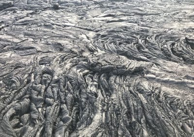
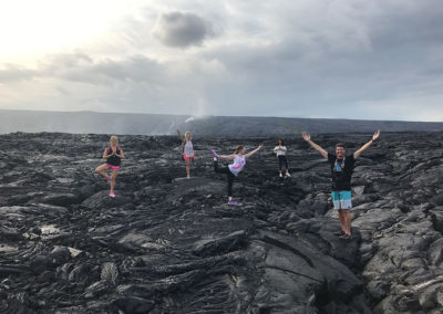
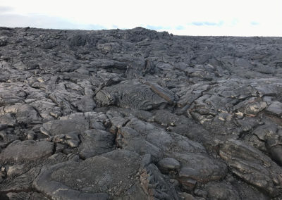
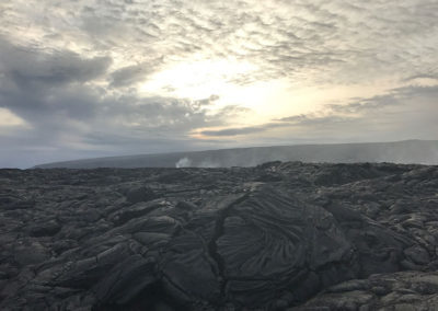
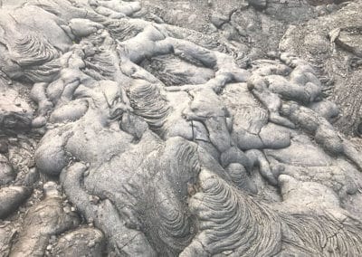
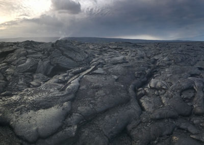
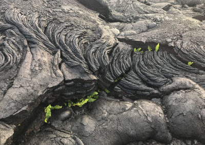
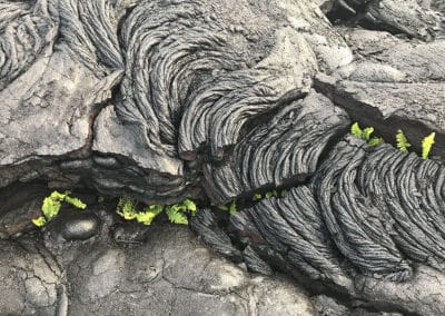
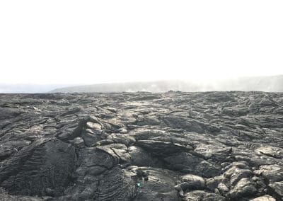
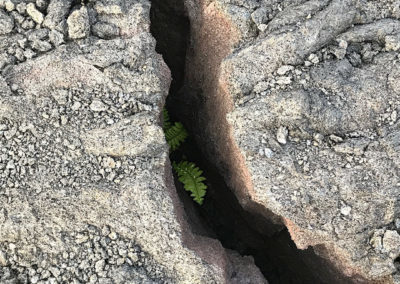
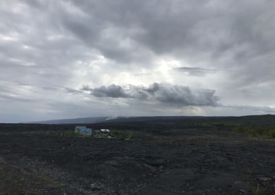
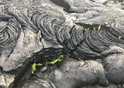
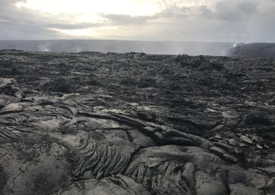
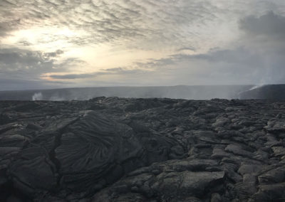
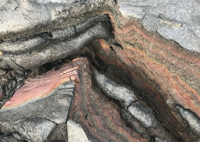
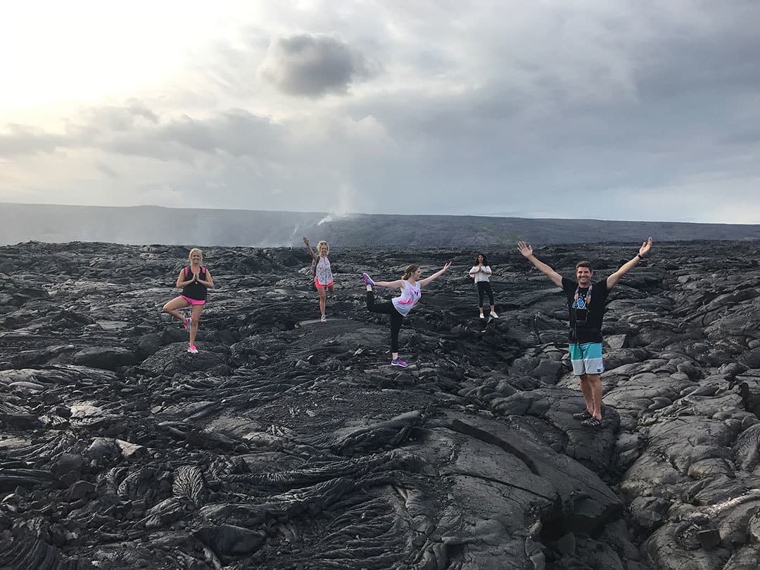
Aloha! We loved exploring Hawaiʻi Volcanoes National Park! It felt as if we had landed on Mars as the terrain was covered in dried molten lava. It was a blast to walk on top of the lava and see new flora emerge through its cracks. Life was emerging in these newly formed areas of land!
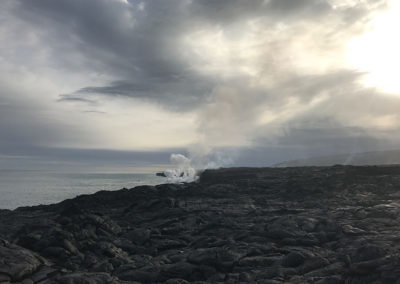
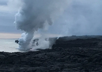
Our group enjoyed a picnic near the cliff’s edge as we waited for sunset. We loved connecting in the open space and witnessing the steady, slow moving lava move down the mountainside and reach the ocean.
In addition to the Waipi’o Valley Hiking Trail, this Hawaiian adventure is one to add to your bucket list!
Discover a New Trail
Kuki’o Beach Hawaii Hiking Trail
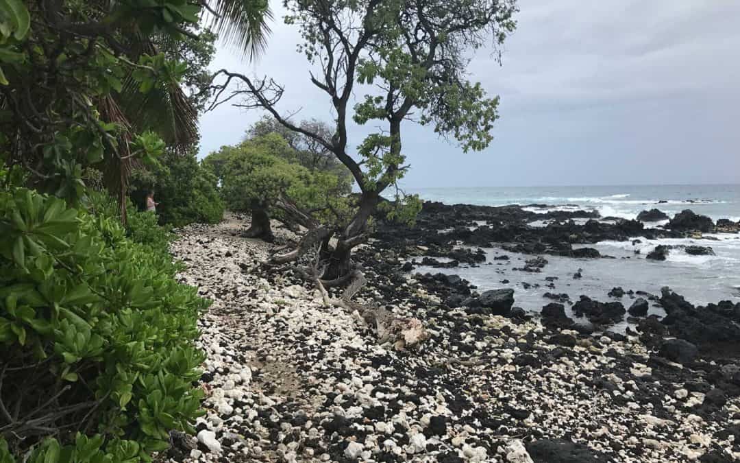
Kuki’o Beach on Hawaii’s Kohala Coast is a white-sand beach featuring sea turtles and incredible ocean views. It’s an easy beach hike and perfect for any Hawaii vacation!
Santa Cruz Redwoods Hiking Trail | Rincon Fire Road Trail
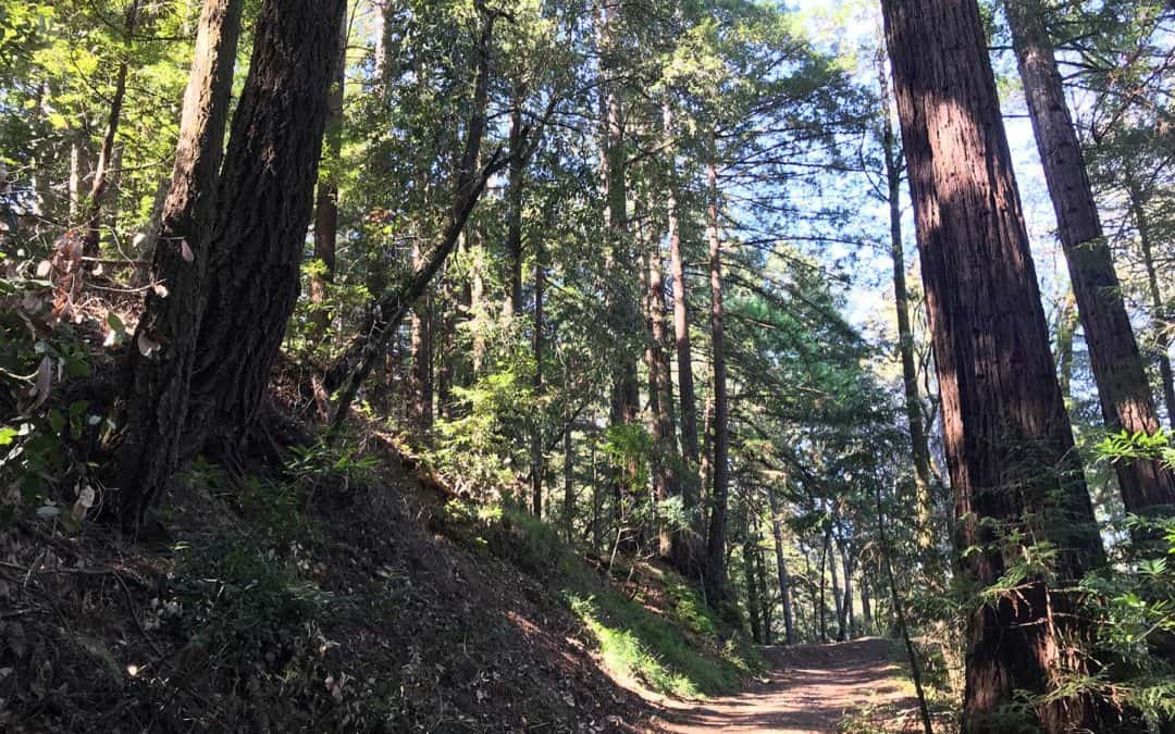
Rincon Fire Road Trail is a moderately trafficked 3.9 mile out and back hiking trail in the middle of the Santa Cruz redwoods. This trail is popular with hikers, mountain bikers and even horseback riders. If you’re searching for a family friendly hike underneath redwoods, this is it!
Montaña de Oro State Park Hiking Trail
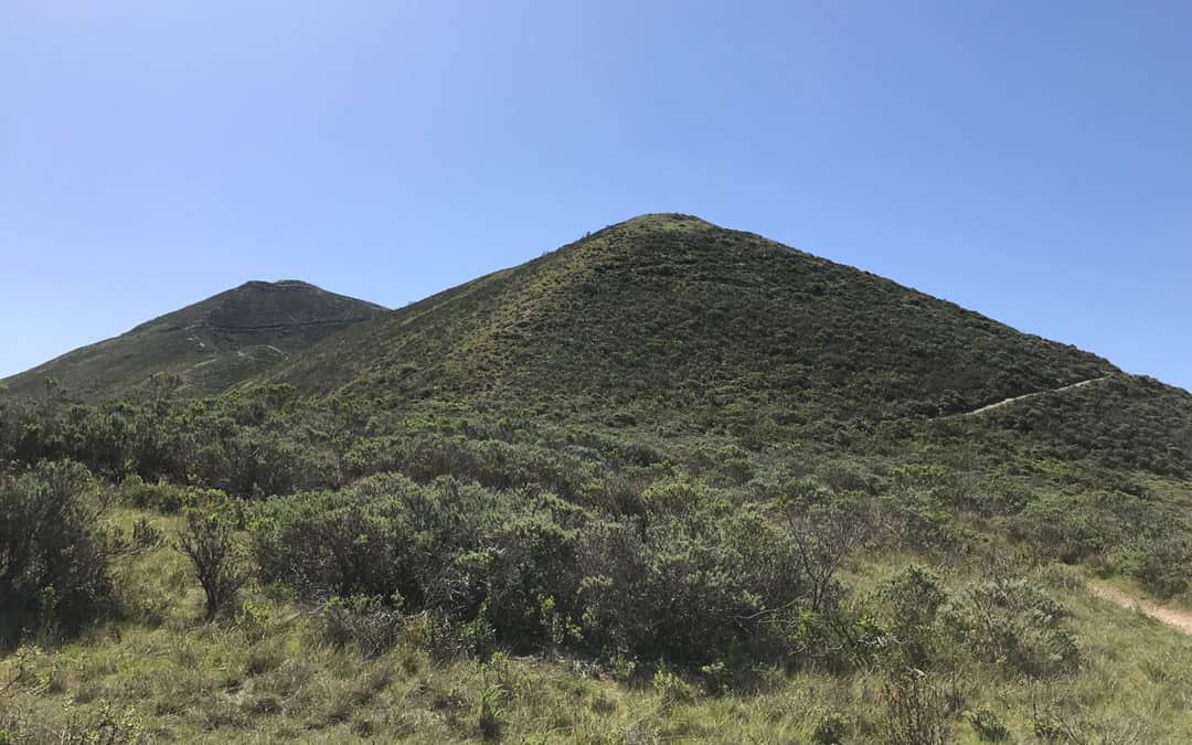
Discover Montaña de Oro State Park and see the Valencia Peak Hiking Trail, the best hiking trail in Los Osos and Morro Bay. See hiking trail photos, maps, guides and reviews.
