Bell Rock | Courthouse Butte Loop Hiking Trail
Bell Rock | Courthouse Butte Loop Hiking Trail
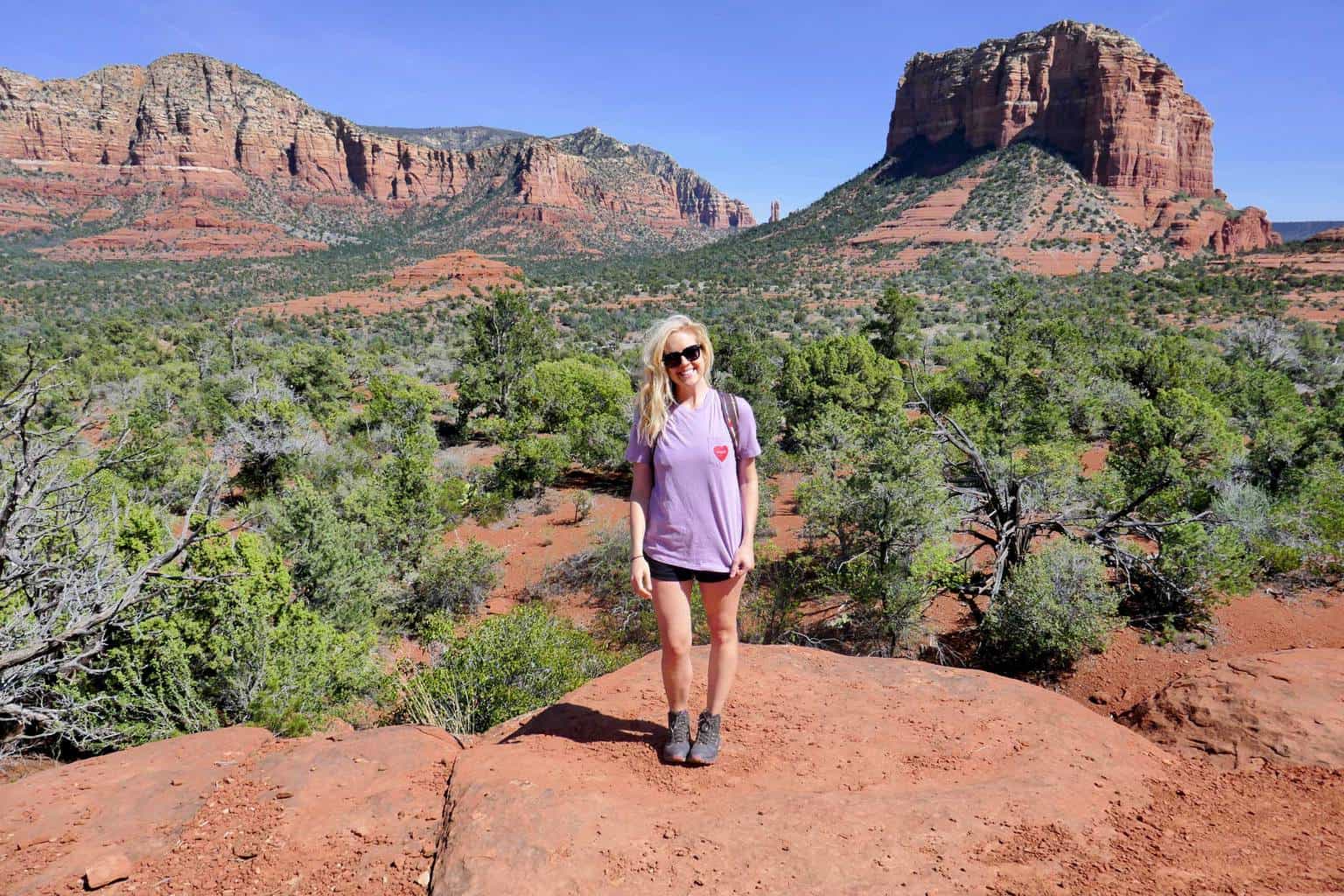
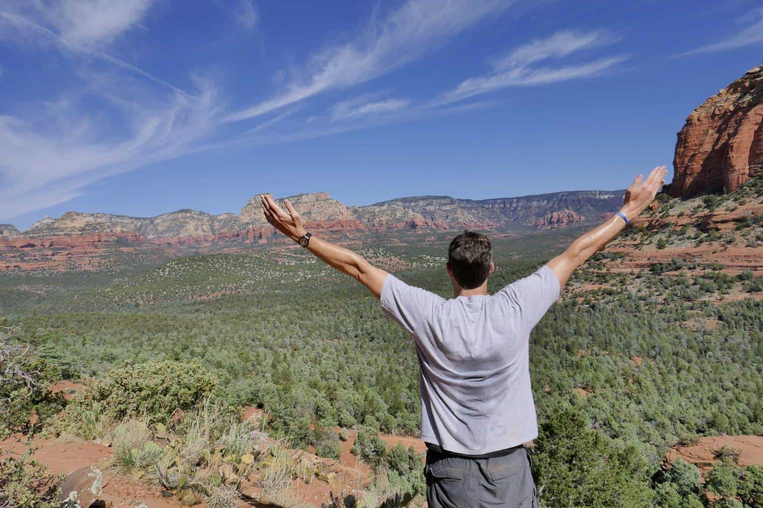
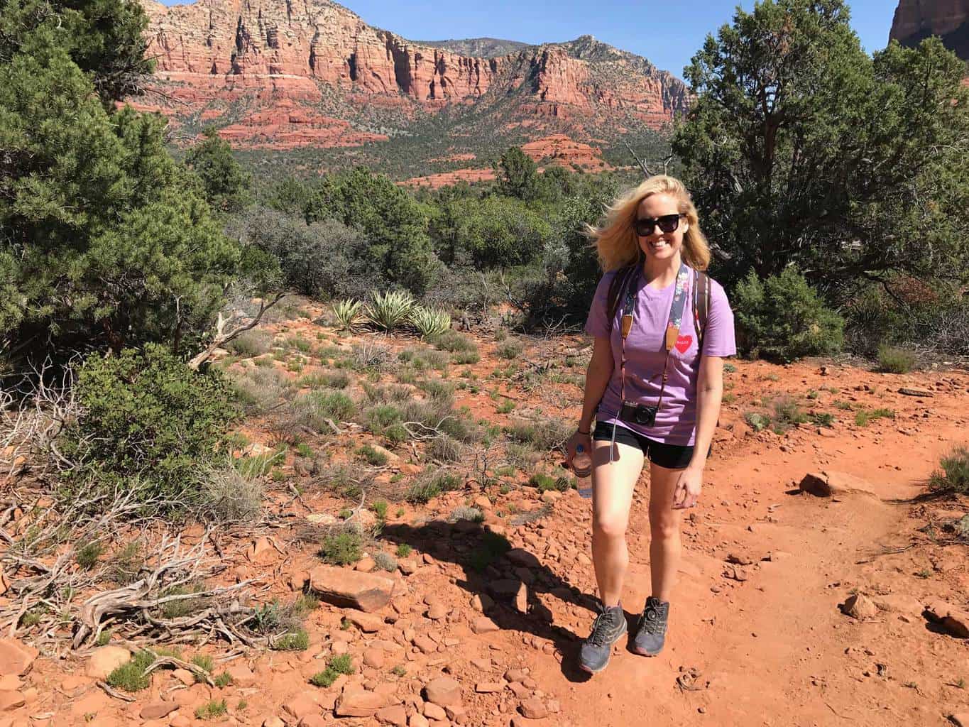
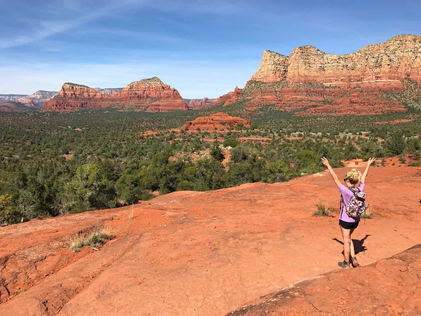
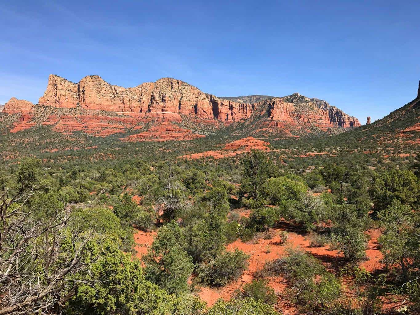
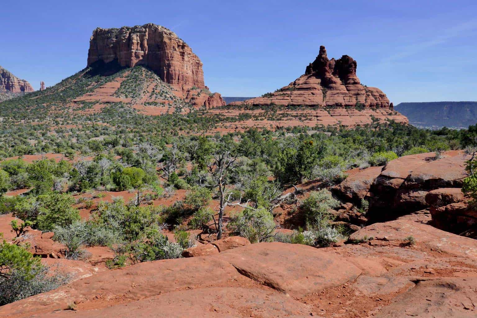
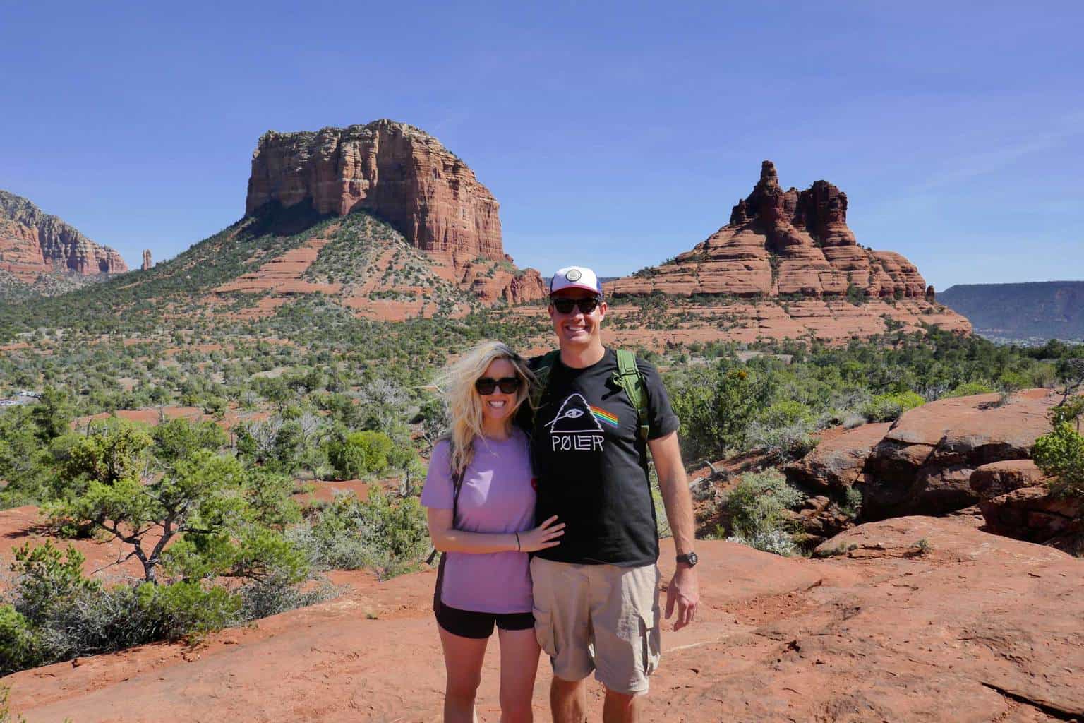
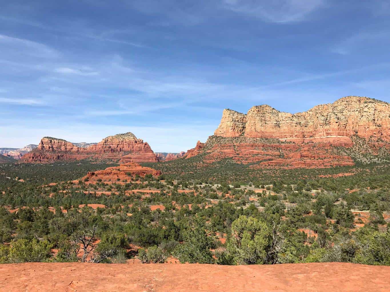
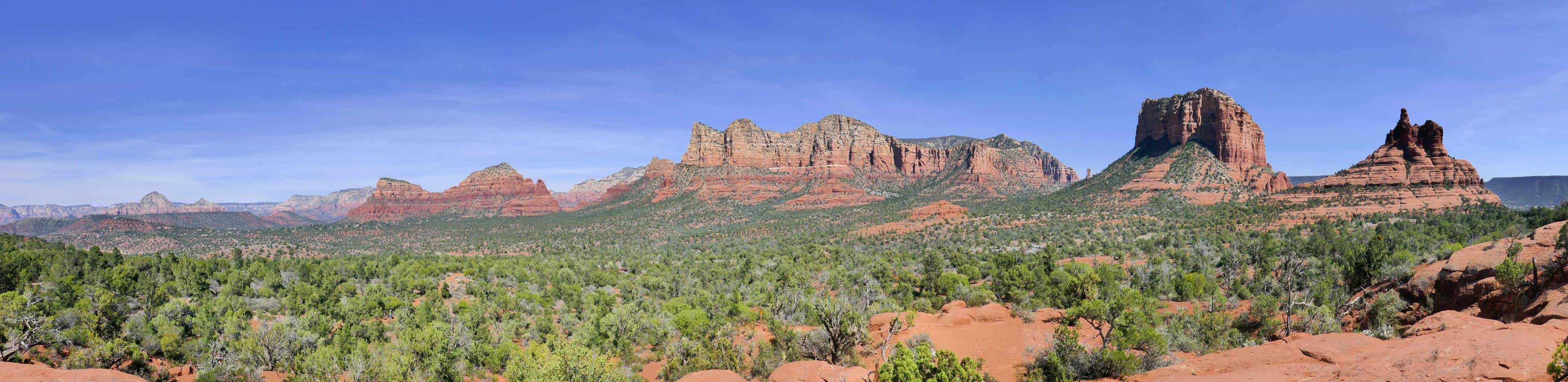
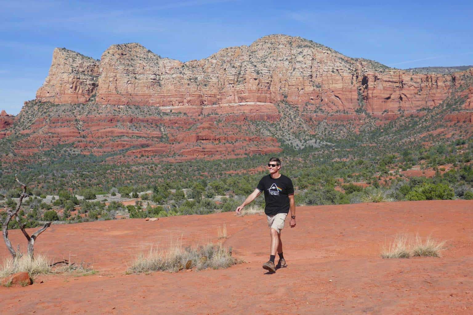
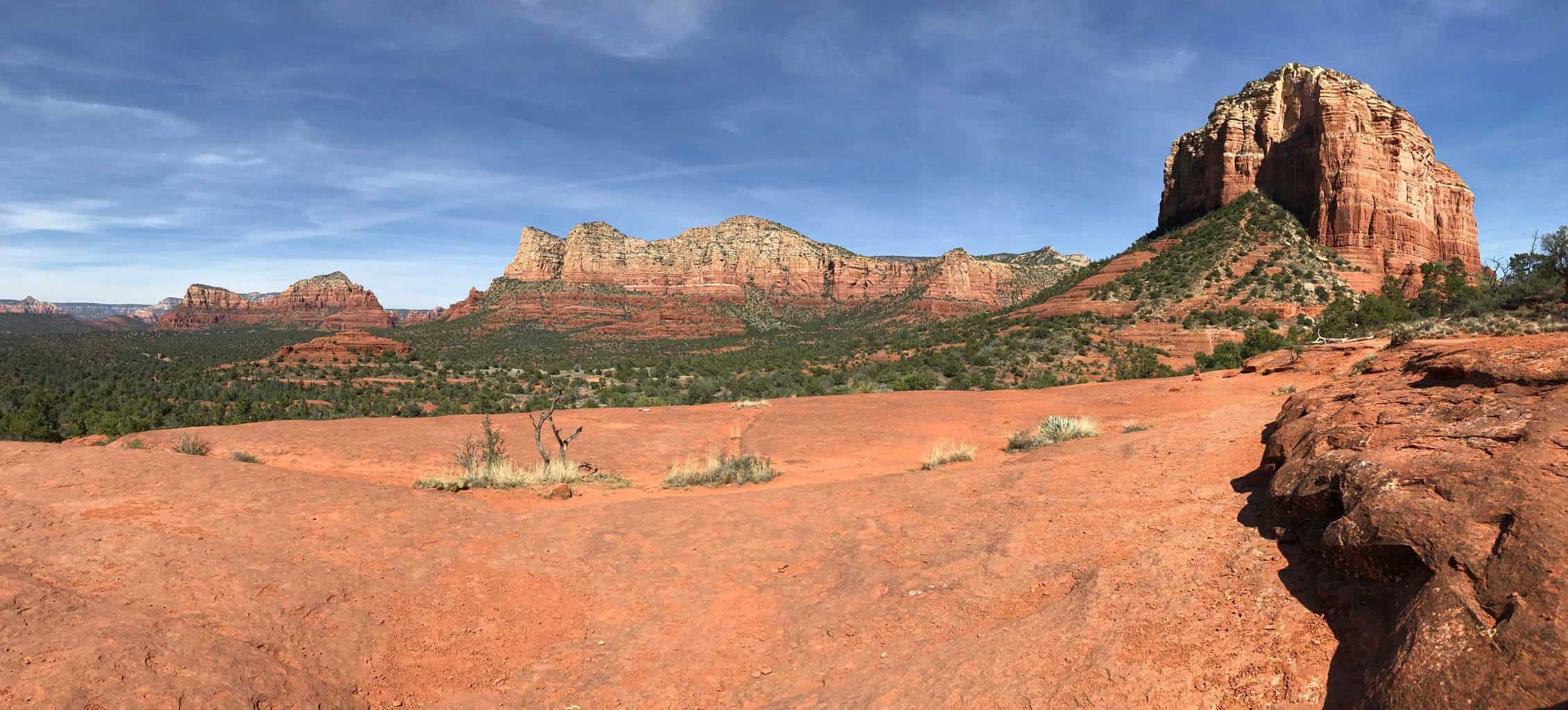
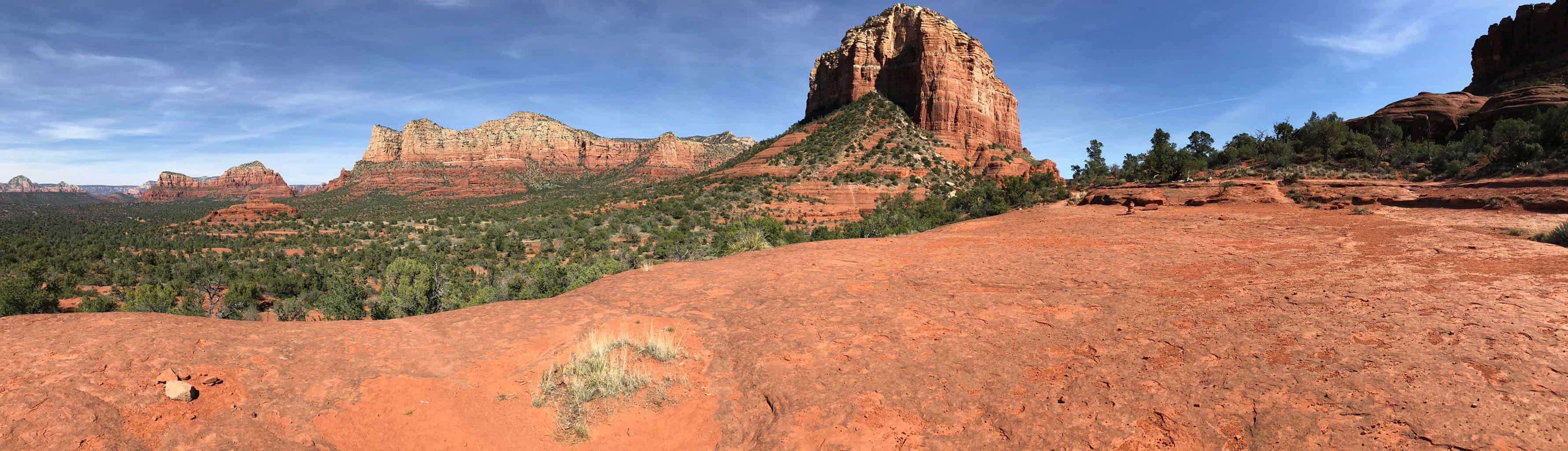
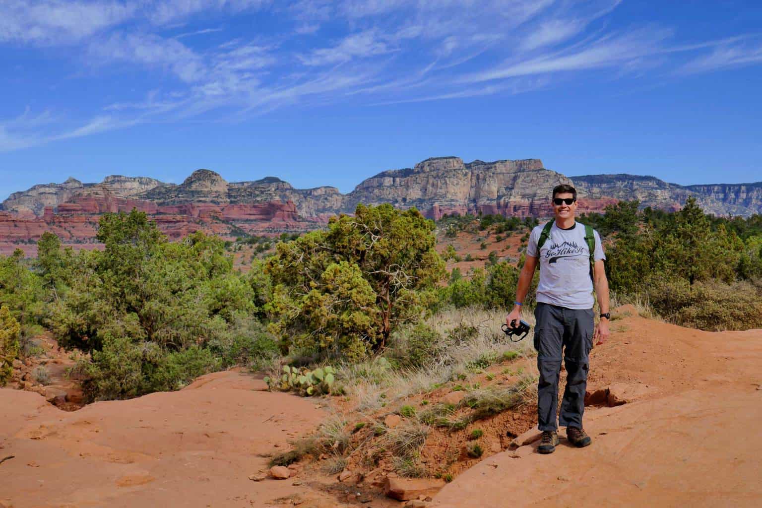
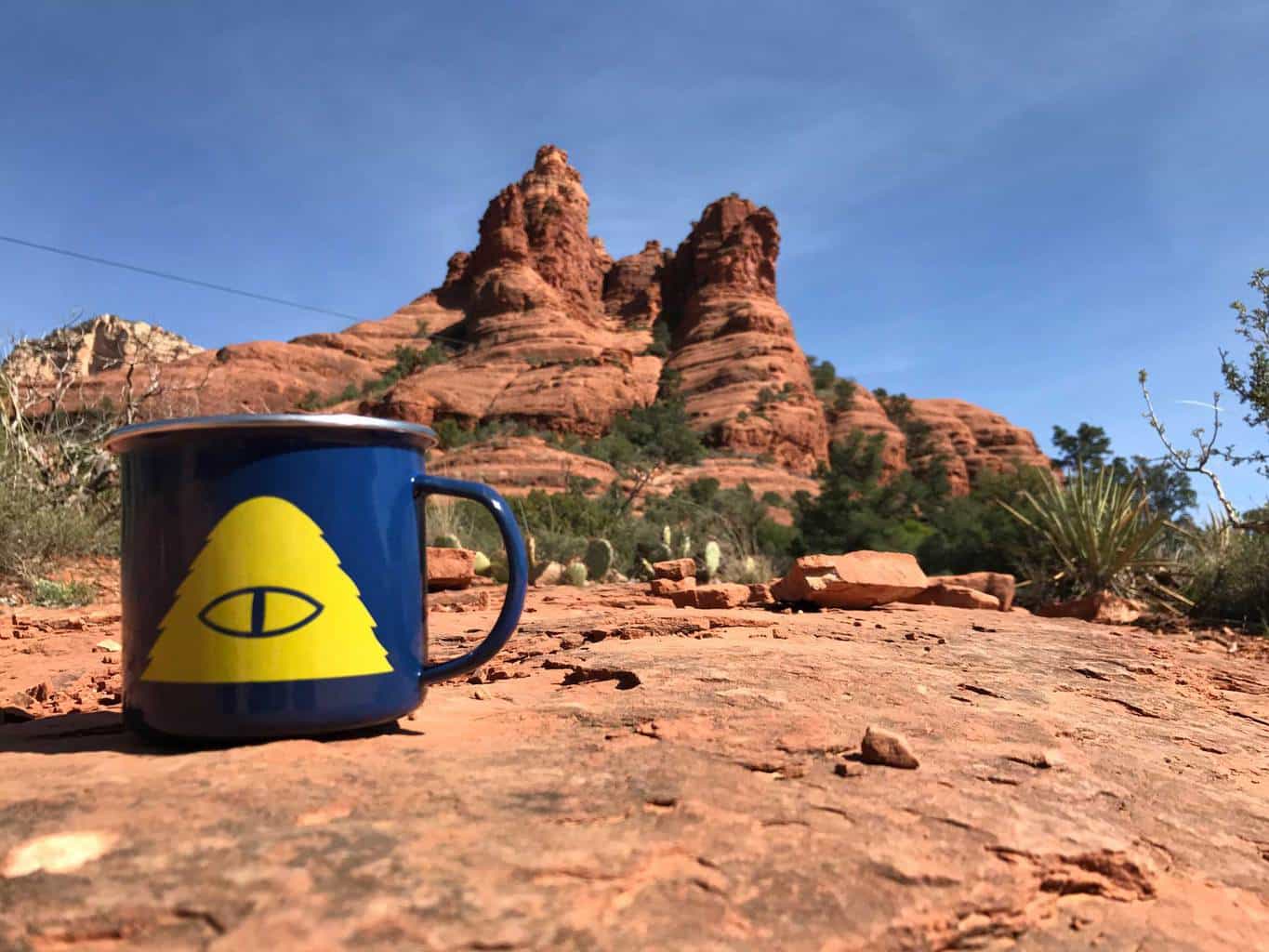
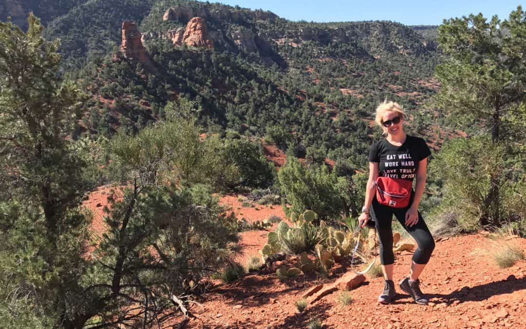
Best Sedona Hiking Trails: Ding Dong! The Bell Rock Trail will ring your heart full of adventure! Located at the entrance to red rock country, Bell Rock & Courthouse Butte Loop Trail are two popular adjacent hiking trails. This 4.0 mile popular loop is an excellent way to explore rock rock country as the trail is full of picturesque views of the bell shaped rock and the surrounding red rock mountains.
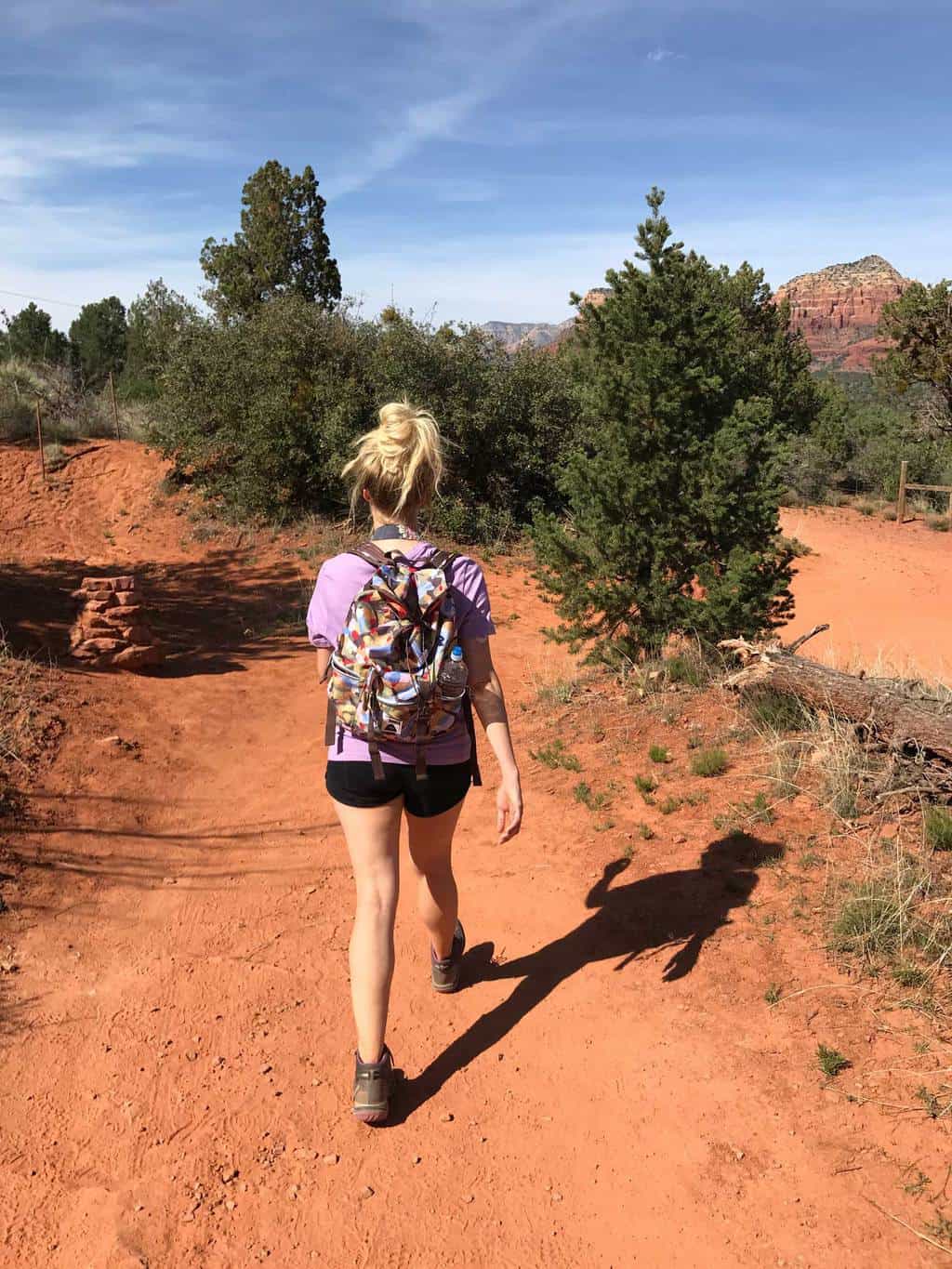
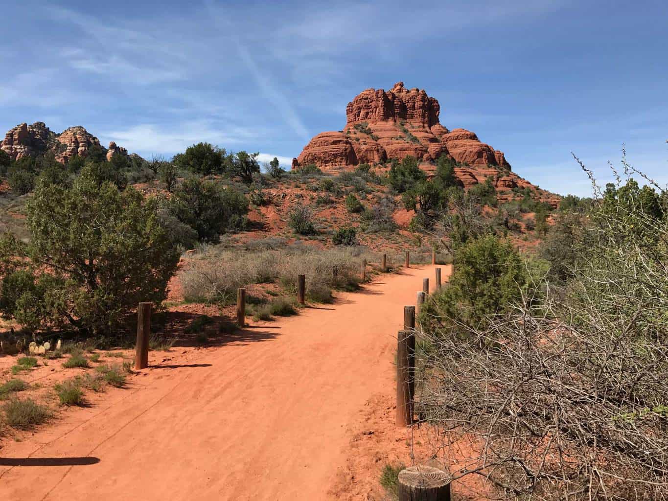
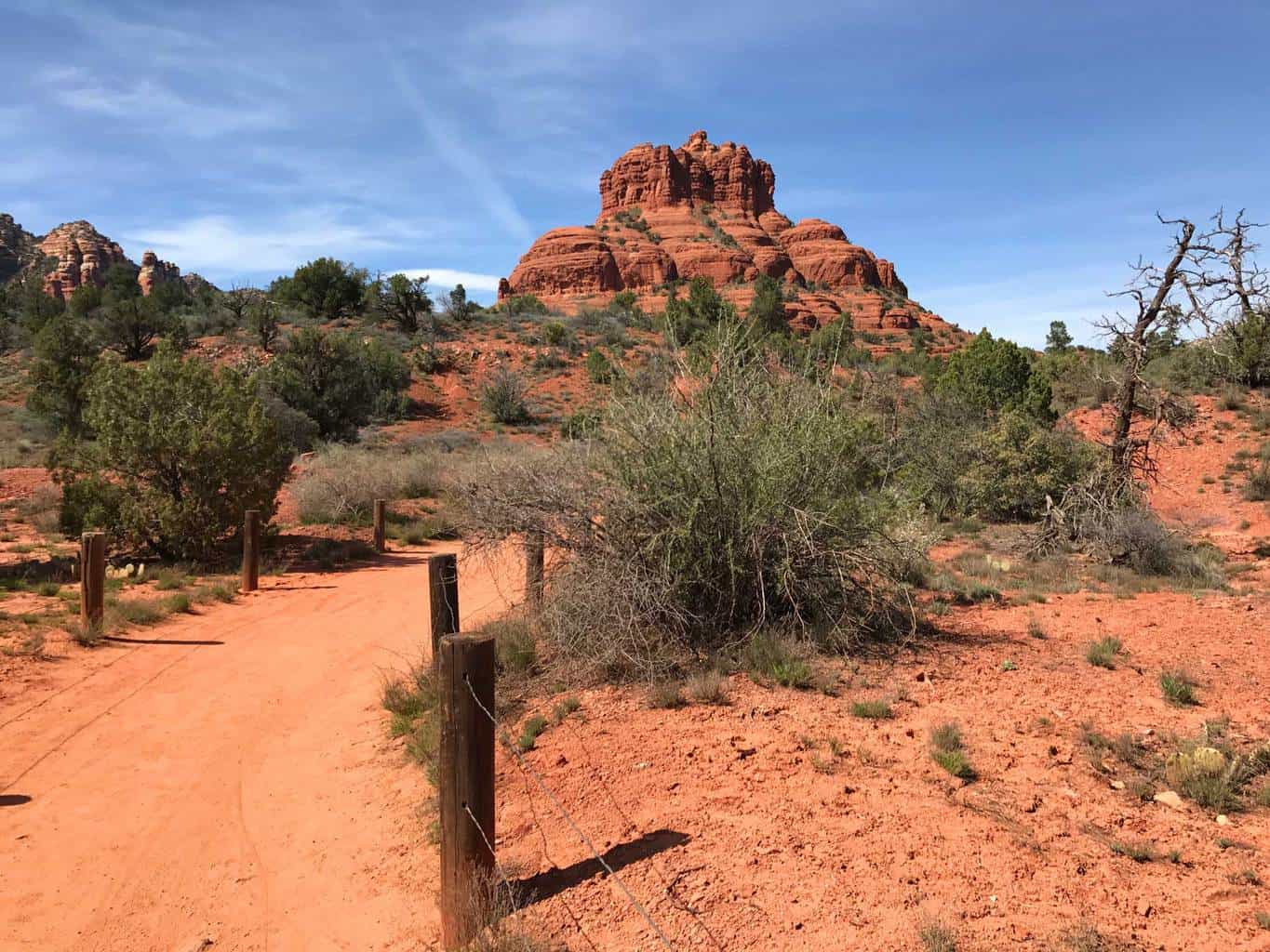
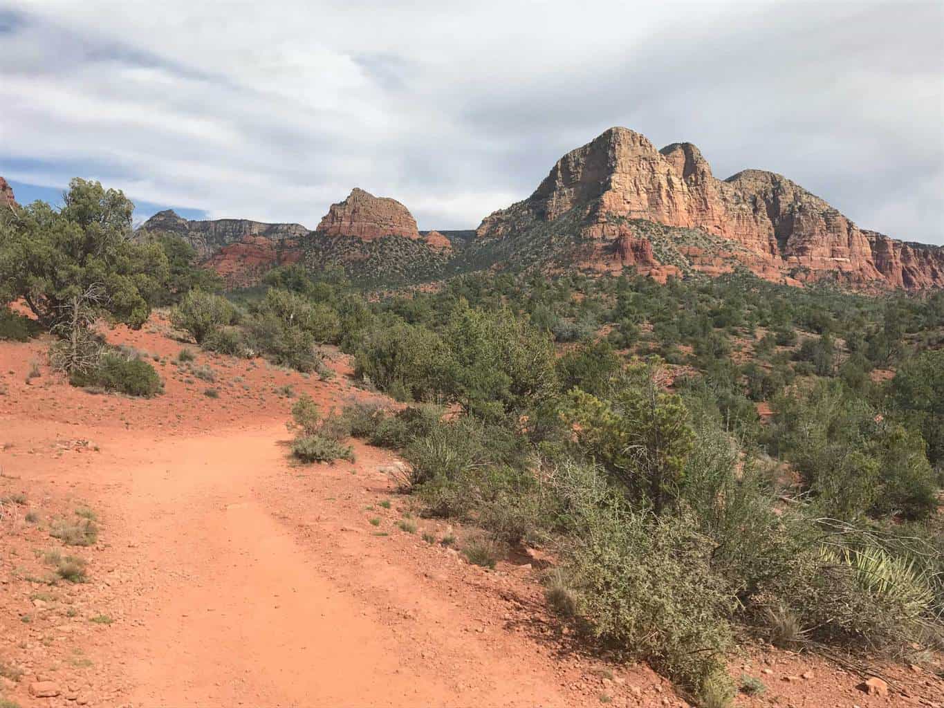
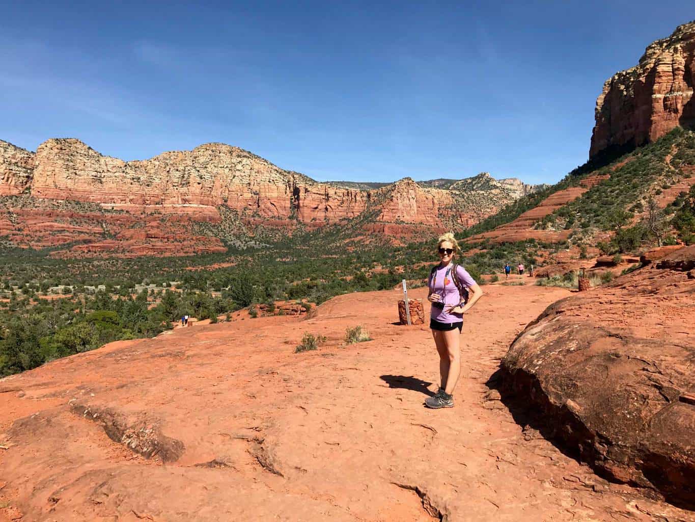
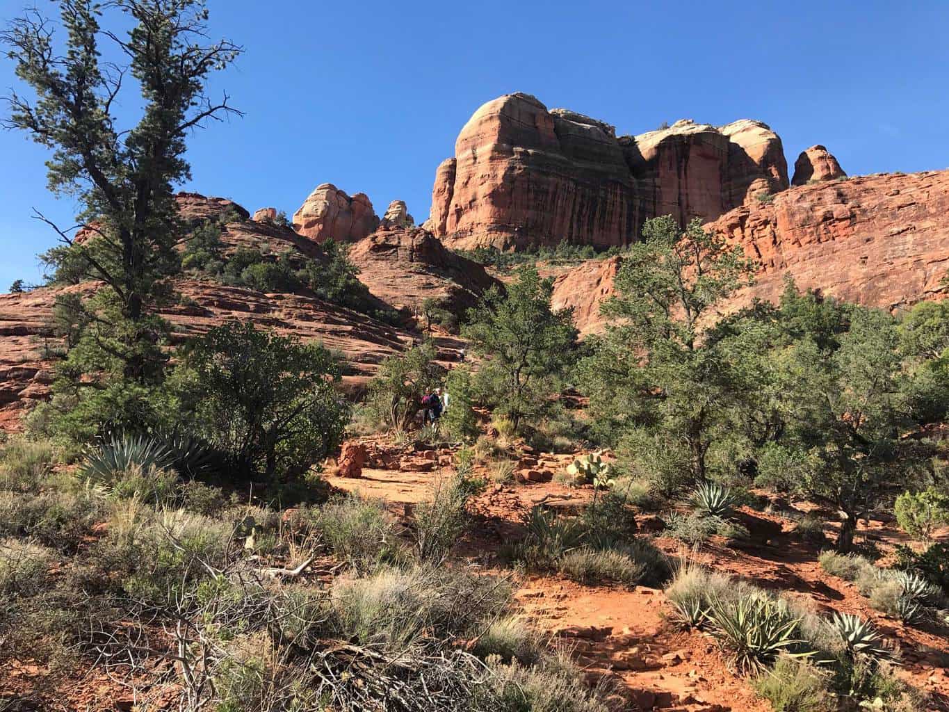
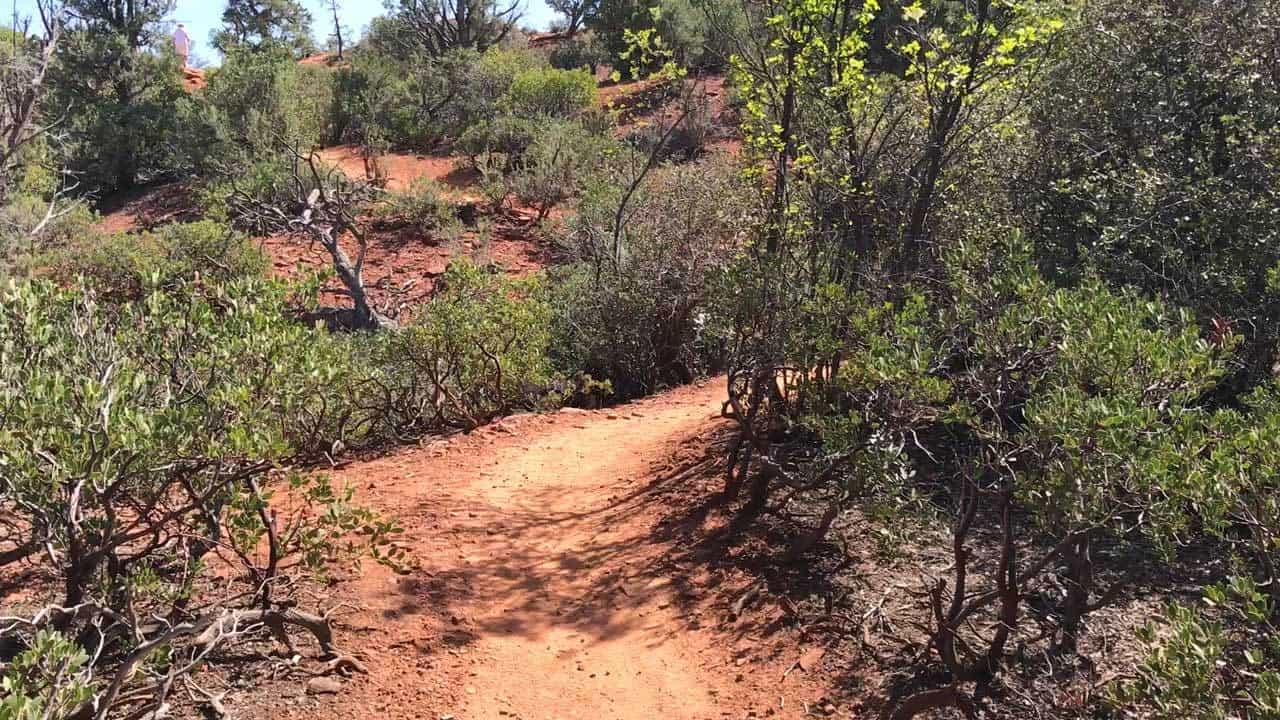
The trail entrance starts at the Bell Rock Pathway Vista Parking Lot. If there are no available parking spaces, park in the town area and walk to the trailhead. The first section of the trail is wide, flat and well maintained and also open to mountain bikers. The trail continues to Bell Rock and passes along by one of Sedona’s four main energy vortex sites, which are rumored to provide a beneficial source of electromagnetic energy and can help balance the masculine and feminine perspectives of the body.
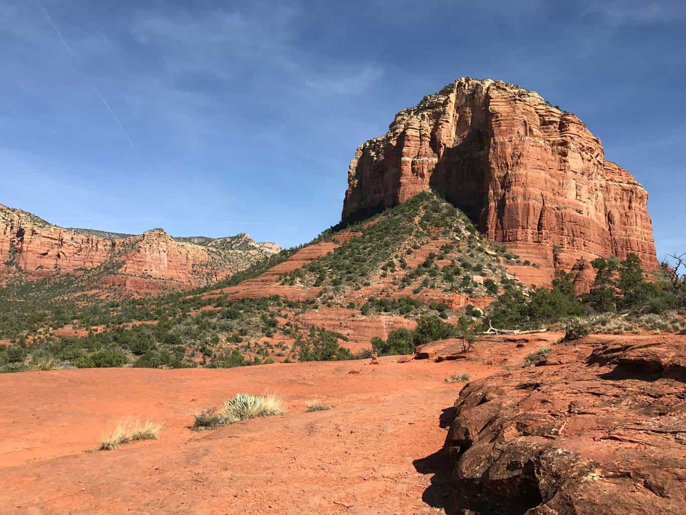
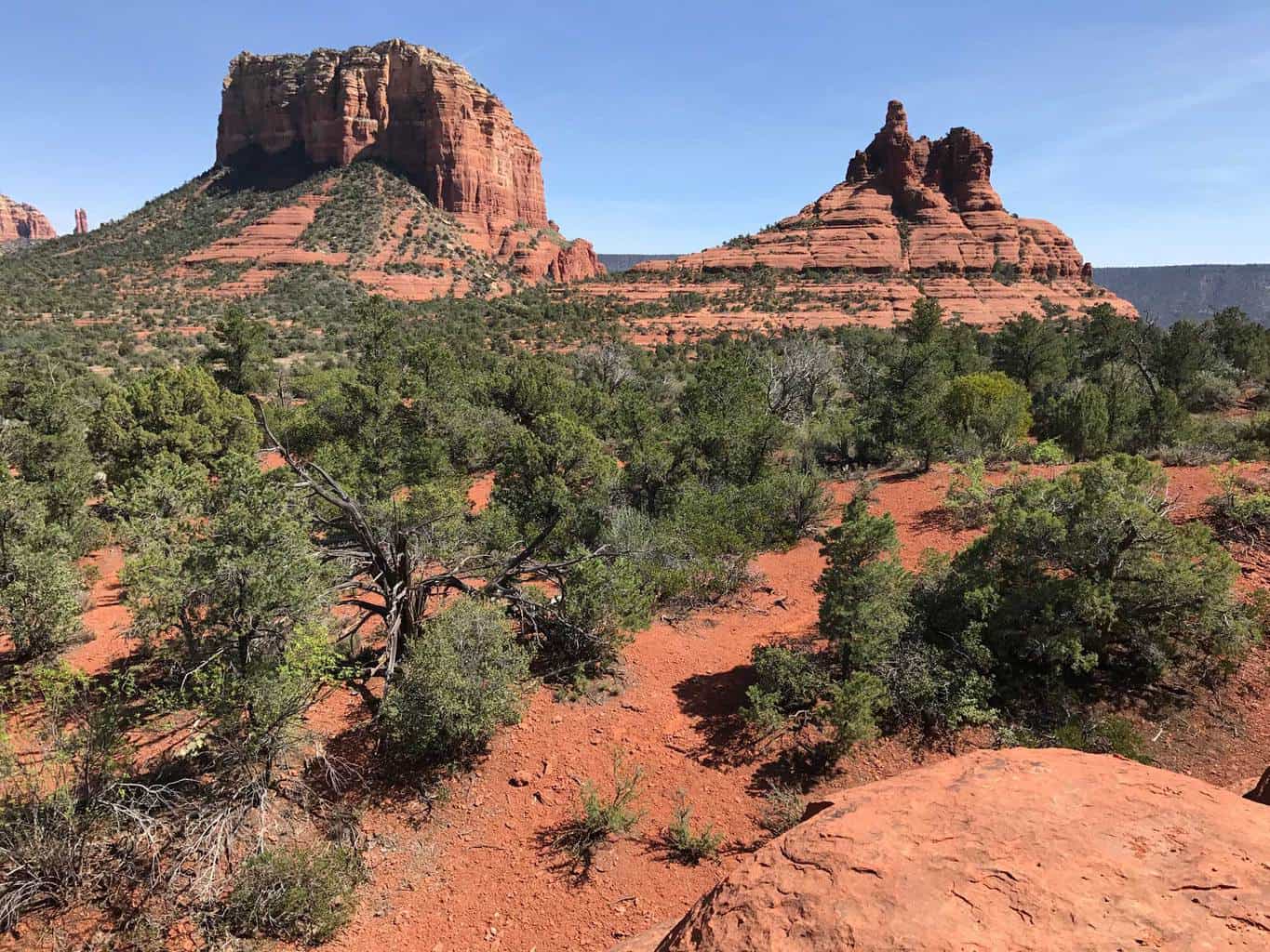
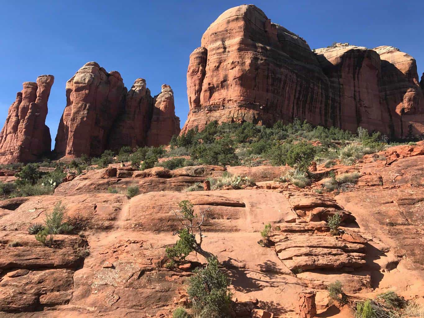
The trail narrows once you reach Bell Rock. If you want to hike further up the base of Bell Rock, follow the rock columns that mark the path up towards the summit. Bell Rock stands at 4,919 feet. If you want to complete the trail loop, continue east along the trail towards Courthouse Butte, which stands at 5,454 feet or return back from Bell Rock to the Pathway Vista Parking Lot.
Estimated Time: 2-3 hours
Total Distance: 4.0-4.5 miles (round-trip)
Map & Directions
Trail Pictures
Total Distance (miles)
Bell Rock stands at 4,919 feet & Courthouse Butte stands at 5,454 feet.
Total Estimated Time (hours)
Bell Rock is one of Sedona's Four Energy Vortexes and strengthens: the masculine side, the feminine side, and the body's balance.
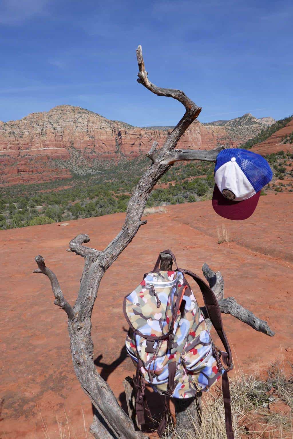
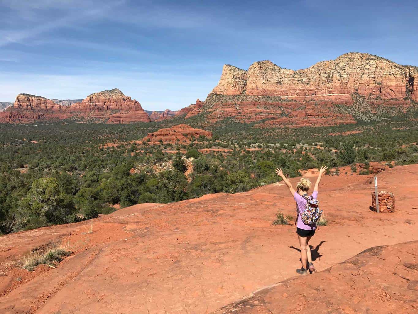
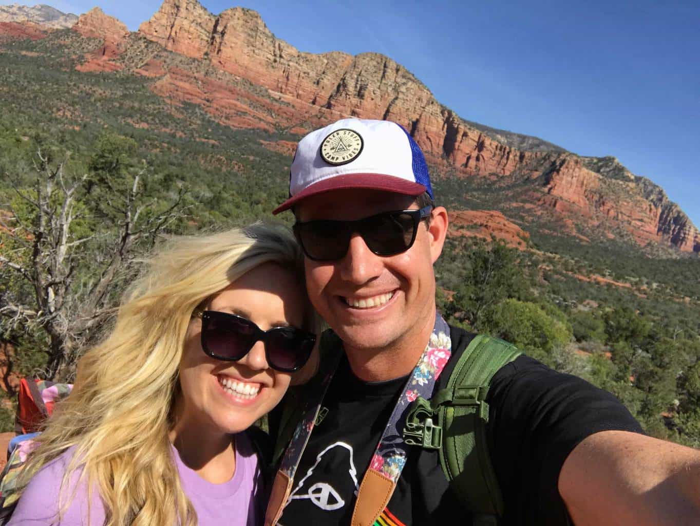
Bell Rock Trail Loop | Sedona Hiking Trail Photo Gallery
(click on image to rotate through image/s)


When to Go
Spring/Fall: It’s ideal to explore Sedona in the fall or spring, when the weather is generally more pleasant and the trails are void of snow. During the summer months it can be extremely hot and contrarily during the winter months, it can be extremely cold.
Dog Friendly
Yes, dogs on leashes are permitted on the Bell Rock Trail Loop.
Bell Rock Hiking Trail Map
Courthouse Butte Loop | Bell Rock Hiking Trail Directions
The Bell Rock Pathway Vista Parking lot is located directed north of the Village of Oak Creek.
GPS Coordinates: 34.791743, -111.761871
Why We Liked It
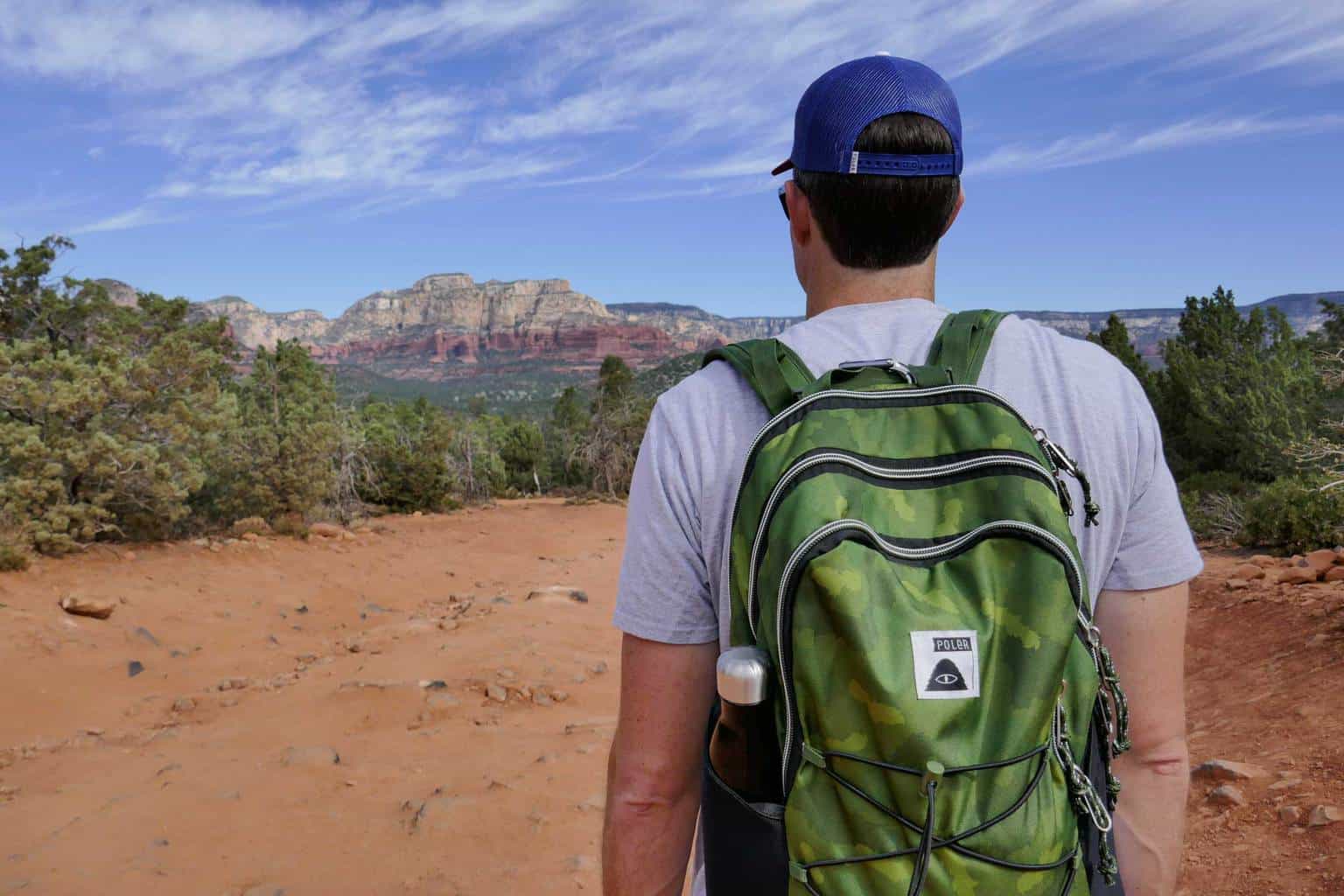
Embrace the energy from the vortex and prepared to be wowed the incredible sights of Sedona’s Bell Rock & Courthouse Butte. Don’t worry, the bell will not knock you out for the count, instead you’ll feel inspired by to take countless photos. We enjoyed explore this area’s hiking trail. Although very popular and full of other hikers, the trail was easy traverse, but also provided a fun challenge when we hiked up along the base of Bell Rock. We hope to return soon!
Discover a New Trail
Turkey Creek Trail Sedona Hike
Discover the Turkey Creek Hiking Trail in beautiful Sedona, Arizona. Enjoy this lightly trafficked hiking trail and see incredible views of red rocks.
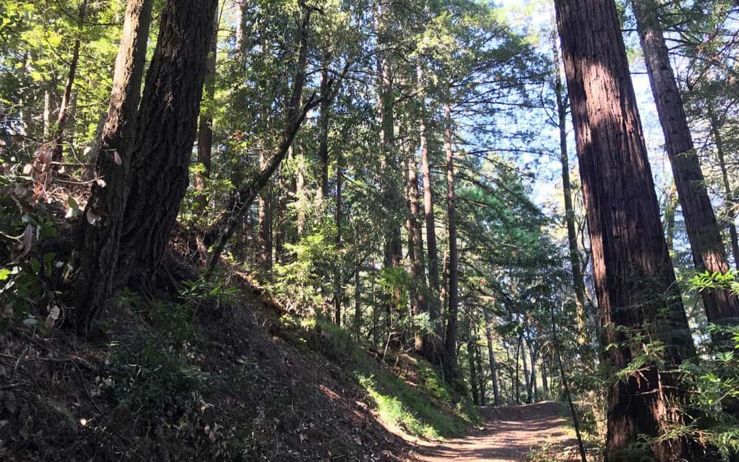
Santa Cruz Redwoods Hiking Trail | Rincon Fire Road Trail
Rincon Fire Road Trail is a moderately trafficked 3.9 mile out and back hiking trail in the middle of the Santa Cruz redwoods. This trail is popular with hikers, mountain bikers and even horseback riders. If you’re searching for a family friendly hike underneath redwoods, this is it!
Mount Rainer Hiking Trail
Best Mountain Rainer Hiking Trails: Located a two hour drive from downtown Seattle, Mount Rainer National Park features dozens of epic hiking trails to explore. The national park expands over 230,000 acres and features Mount Rainer, a 14,411 foot...