Sabino Canyon Hiking Trail Overview:
The Sabino Canyon Hiking Trail in Tucson, Arizona is a very popular destination to enjoy the desert’s beauty. Whether you’re looking to get some exercise, or want to ride the tram the entire way up and down, you’re guaranteed to have a great time learning about this park’s history and scenery!
Sabino Canyon Tours offers a narrated 45-minute, 3.8 mile tour into the foothills of the Santa Catalina Mountains, where guests can buy tram passes for $8. There are 9 stops total, which allow guests to jump on and off the tram when they desire.
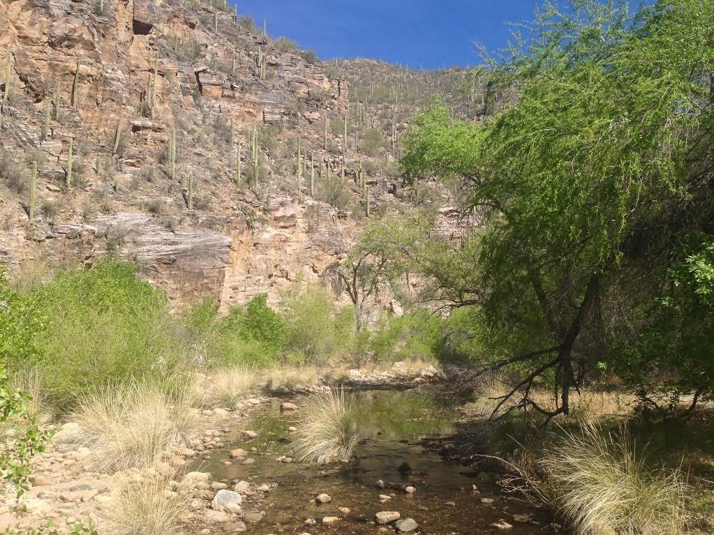
The main road that the Sabino Canyon Tours operate on is mostly flat and paved. It can be easily hiked by visitors of all ages. The main road ascends from 2,800 to 3,300 feet and crosses Sabino Creek over 9 beautiful stone bridges, making it a favorite hiking trail in Tucson, AZ. I took us about 30 minutes to reach the top (or stop 9). Then, we ascended up the mountain for a half mile, which offered scenic views of the desert valley.

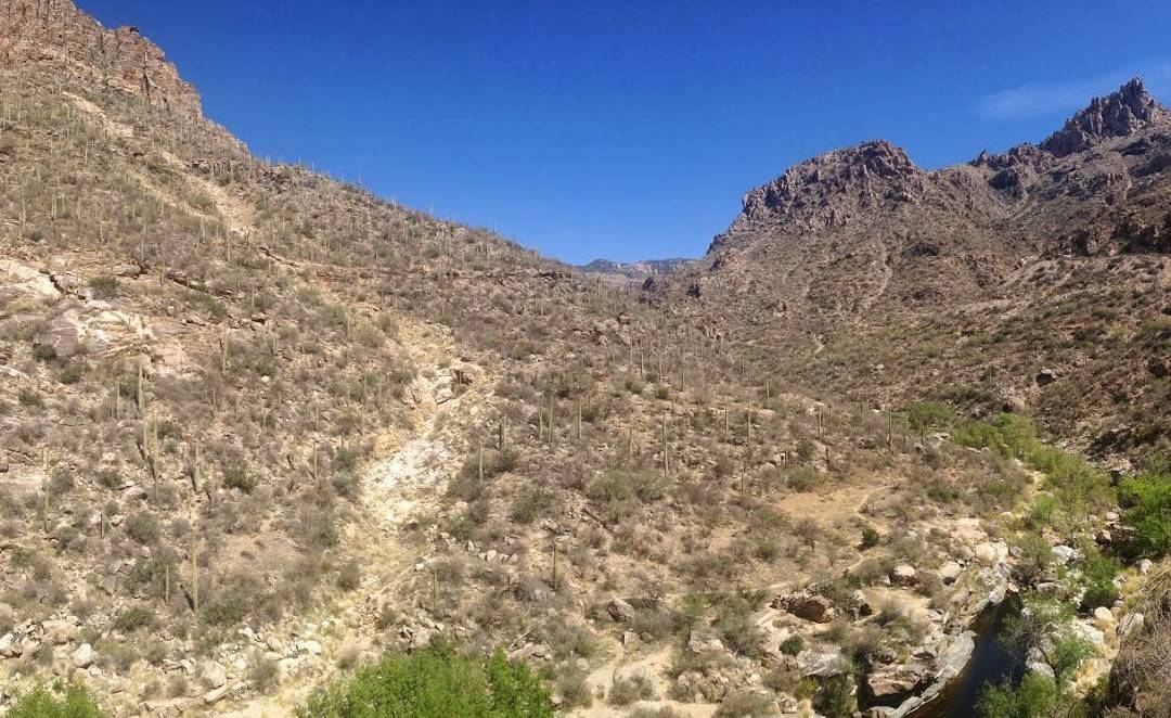
Sabino Canyon offers some of the most beautiful hiking trails in Tucson, Arizona. In the eastern foothills of the Santa Catalina mountain range, hikers will discover natural beauty, stunning vistas, and tranquility of running creek water along this Arizona hiking trail. Perfect for beginner to moderate hikers, that offers a paved road with access to various hiking trails up into the Santa Catalina mountains. Depending on your fitness, you can make this hiking area has hard as you’d like.
Total Distance:
- 2-12 miles, depending on how long you venture up the trail. We went 2 miles in and 2 miles back.
Trail Map:
View Sabino Canyon Hiking Trail in a larger map
Directions:
- Go north on S Stone Ave
- Turn right onto E Broadway Blvd.
- Turn left onto Swan Rd.
- Turn right onto E Sunrise Dr.
- Turn left onto N Sabino Canyon Rd.
- 5900 N SABINO CANYON RD is on the right.
- Merge onto I-10 E toward Tucson.
- Take EXIT 248 toward Ina Rd.
- Merge onto N Casa Grande Hwy.
- Turn left onto W Ina Rd.
- W Ina Rd becomes E Skyline Dr.
- Stay straight to go onto E Sunrise Dr.
- Turn left onto N Sabino Canyon Rd.
- 5900 N SABINO CANYON RD is on the right.
- Sabino Canyon offers a paid parking lot for visitors. It costs $5 to park your vehicle there, unless you are a veteran, in which it’s free.
- 50-75 oz. of water
- Camelbak 50 oz Hydration Pack
- Sunscreen SPF 30
- Trail snacks
- First Aid Kit
- Cell phone
When to Go:
- Fall, Winter, Spring: Recommended due to the high temperatures and monsoons in the summertime. If you plan on hiking here in the summer, we recommend starting very early to avoid high temperatures and to find an empty parking spot!
How the Trail Looks:
 |
| Sabino & Madera Canyon in Coronado National Forest |
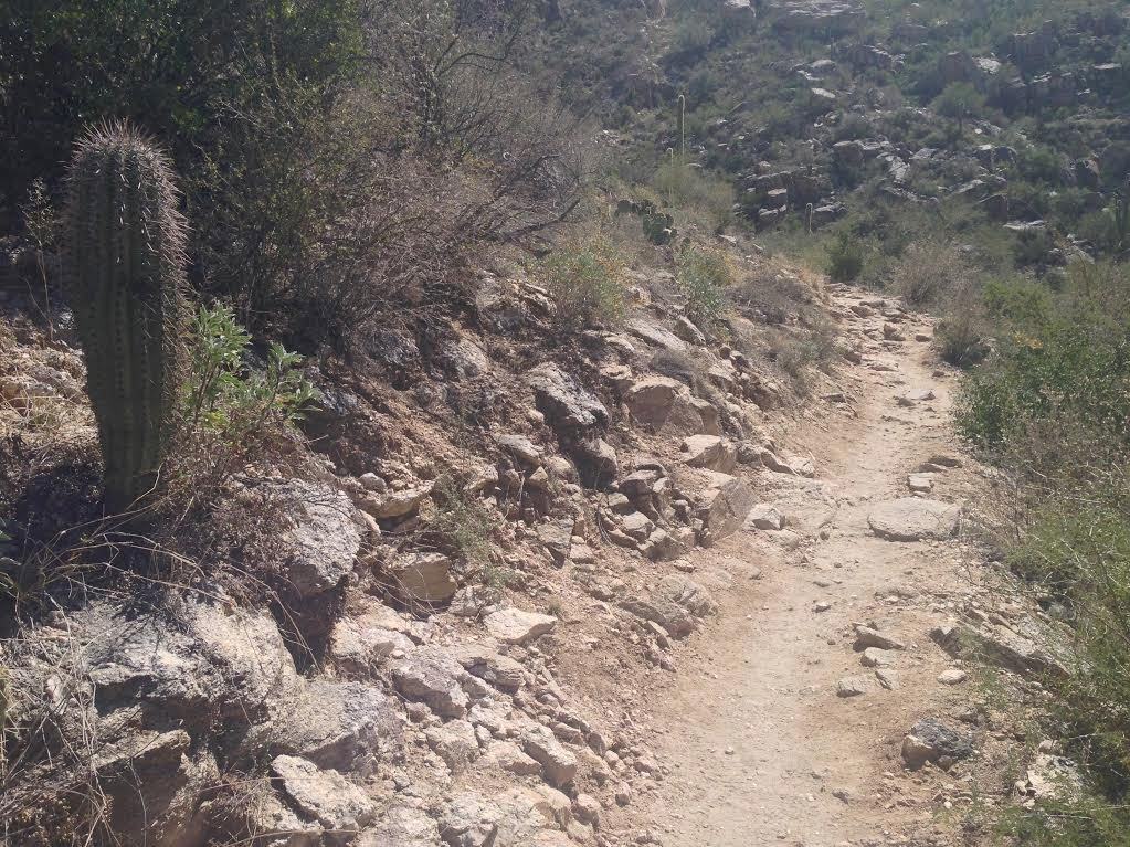 |
| Sabino Canyon Single Track Hiking Trail |
 |
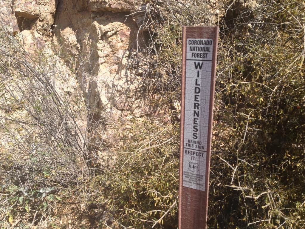
| Coronado National Forest Trail Sign |
 |
| Sabino and Madera Canyon |
 |
| Coronado National Forest Trail Marker |
 |
| Sabino Canyon |
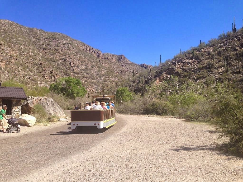 |
| Sabino Canyon Tram in Coronado National Forest |
 |
| Large pool of water in Coronado National Foreset |
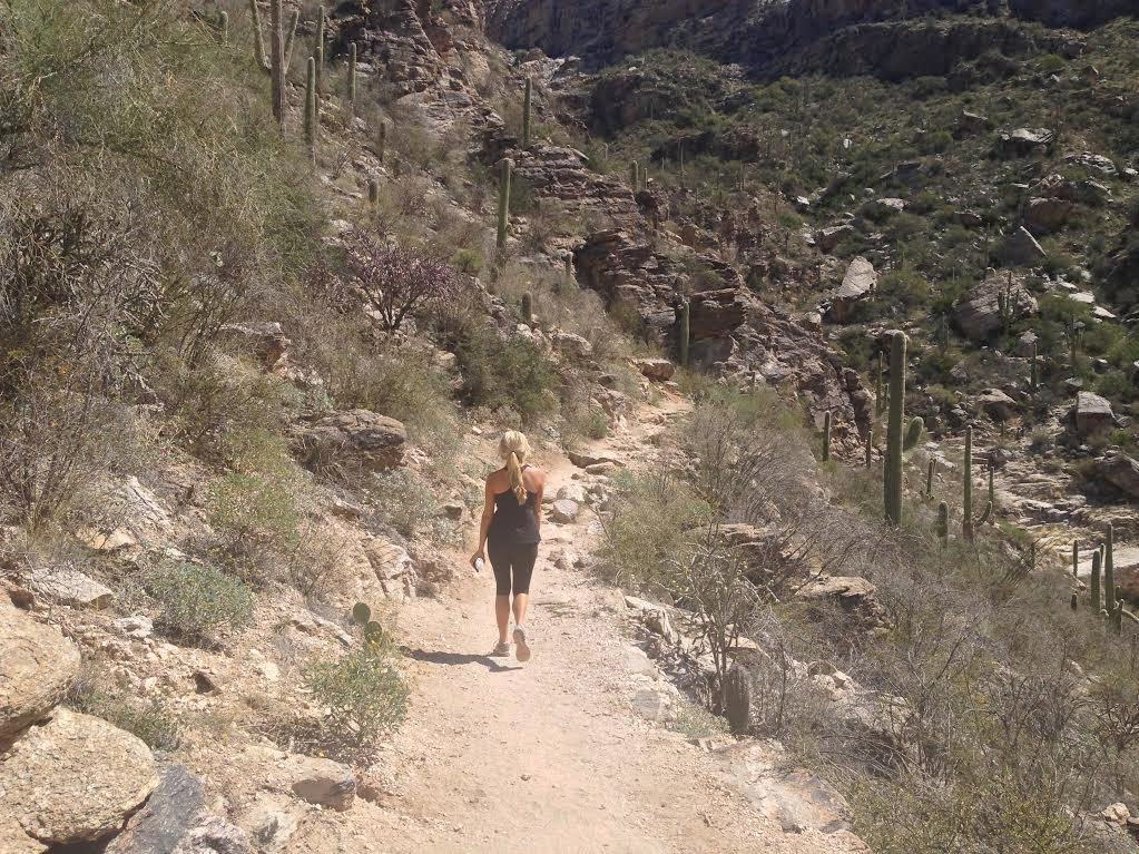 |
| Hiker exploring Sabino Canyon |
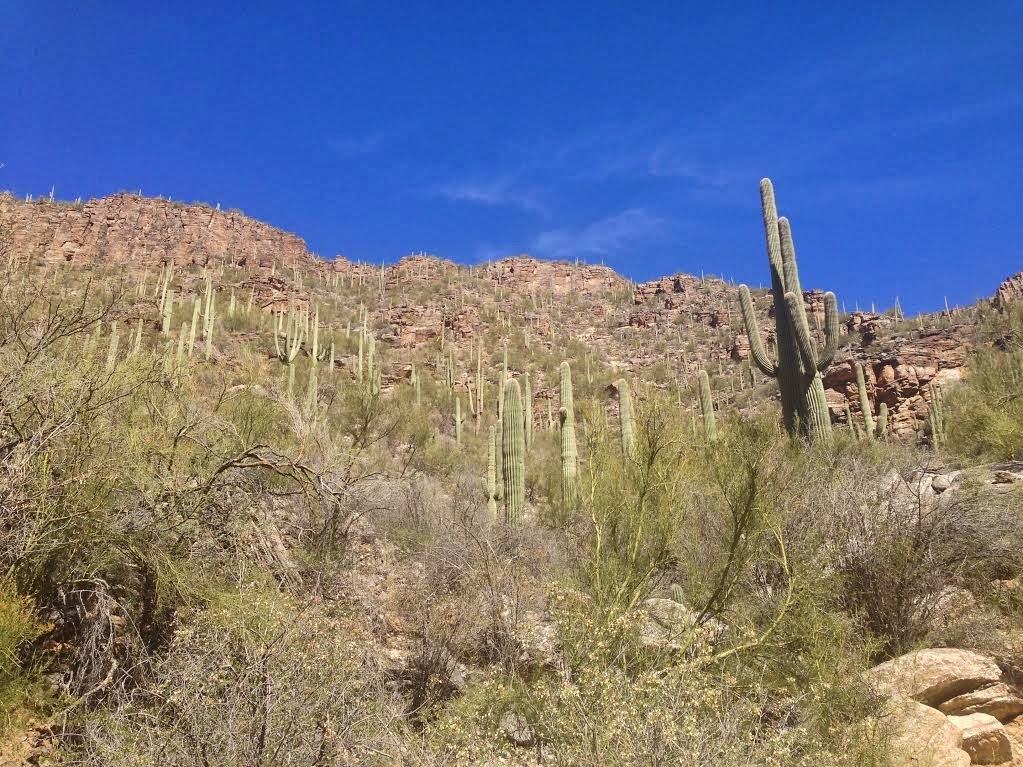 |
| Sabino Canyon Cactus |
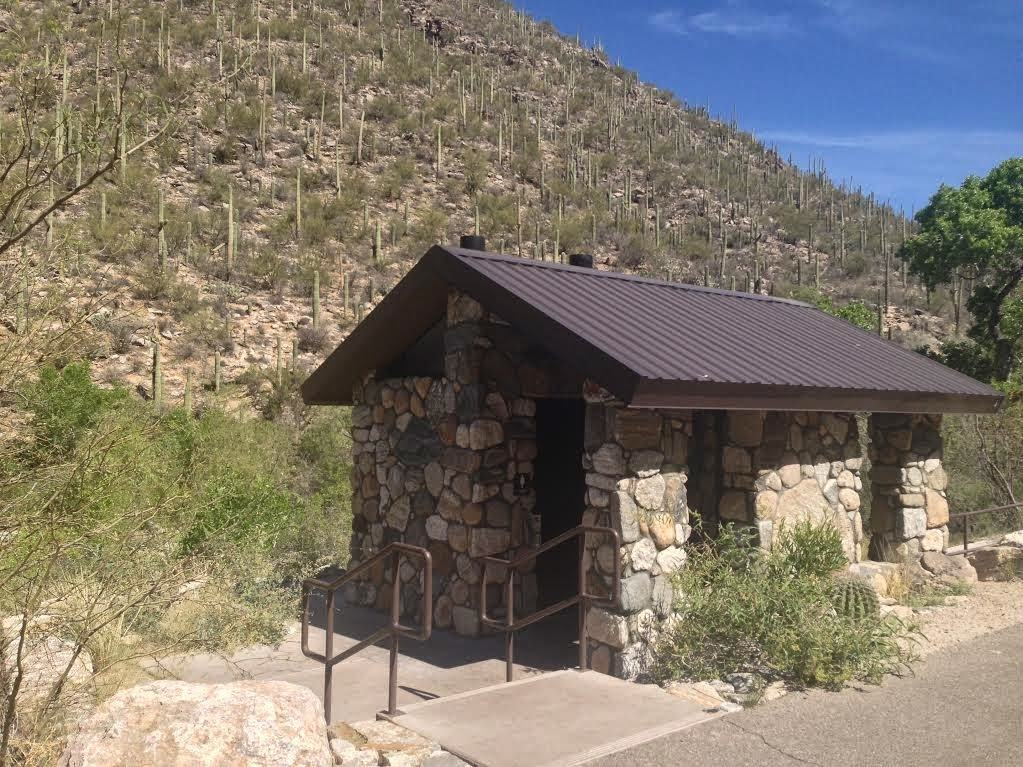 |
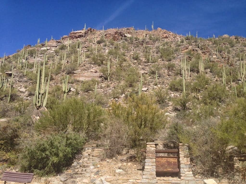
| Sabino Canyon Recreation Area Bathroom and Tram Station |
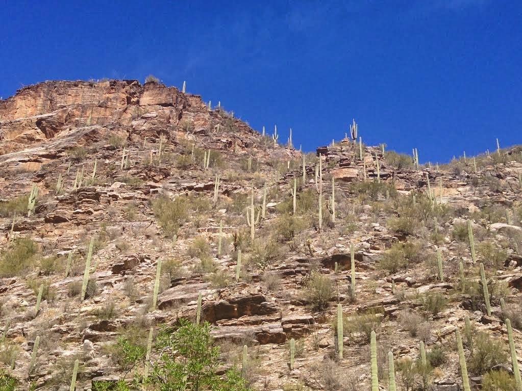 |
| Mt. Lemmon hillside in Madera Canyon |
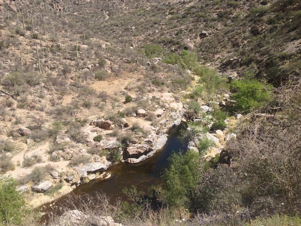 |
| Coronado National Forest River |
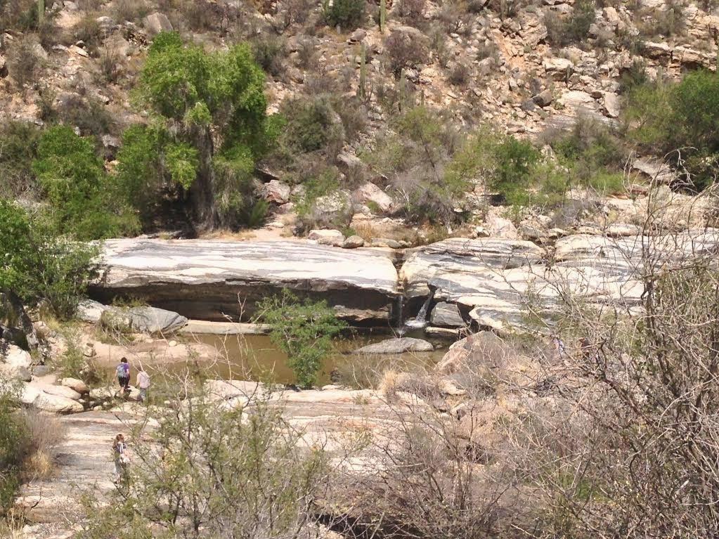 |
| Sabino Canyon Waterfall |
Dog-Friendly
- No, dogs are not permitted Sabino Canyon Recreation Area. Only licensed service dogs.
Intensity Levels:
- Barry-the-Bear: “Ok, I’m a cheater, but secretly I wish I was a cheetah. I took the tram to the last stop on the tram and then took pictures on the trail to make it looked like I hiked it. Normally, I would have hiked the trail, but the tram was so tempting and I wanted to save my energy to explore more of Tuscon.”
- Larry-the-Lion: “We hiked up and then took the tram down! The views were spectacular. It was my first time seeing large saguaro cactus and it was well worth the visit! The canyon is covered in them! Make sure to keep your ticket stub handy as the tram conductors check it when you board the tram.”
- Chris-the-Cheetah: “Great training course! You can save the $8 and run up and down the tram trail. If you are feeling extra adventurous, you can explore the single track area after the last tram spot. The trail connects to the top of Mt. Lemmon. I didn’t have enough energy to explore the entire trail (yes, shocking), but I managed to still get in a solid 10 miles.”
Have you explored the Sabino Canyon Recreation Area withing Coronado National Forest? What’s your favorite Arizona hike?
Share your hiking adventures with a comment below!