Annadel State Park Hiking Trail
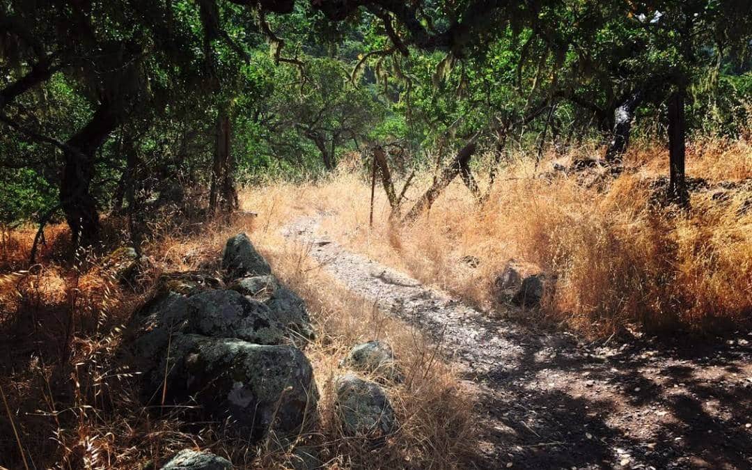
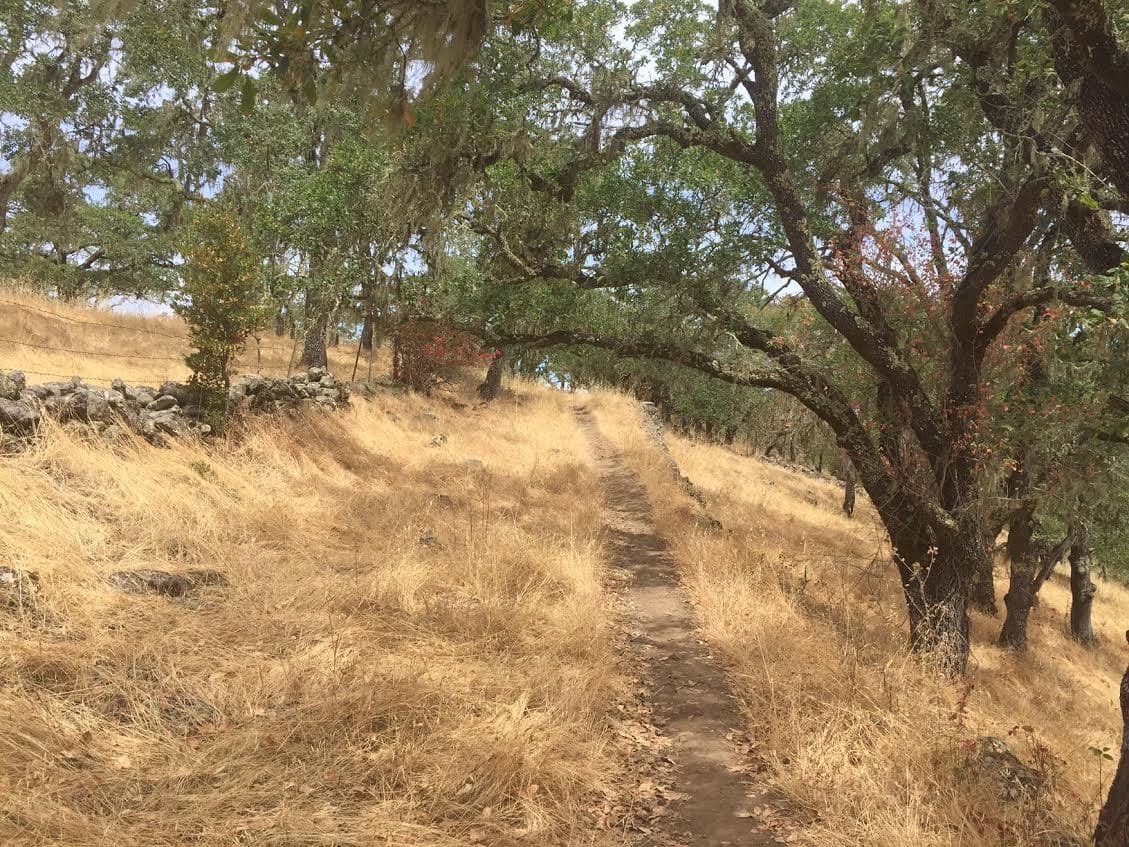
Annadel State Park Hiking Trail Overview: Annadel State Park became an official California State Park in 1971 and features over 35 miles of trails that are perfect for hiking, mountain biking, running or even horseback riding. The state park borders the Spring Lake Regional Park and is a fun backdrop to the beautiful wine country of Sonoma county.
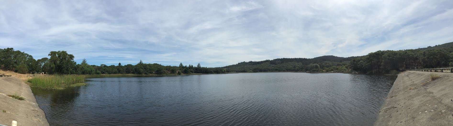
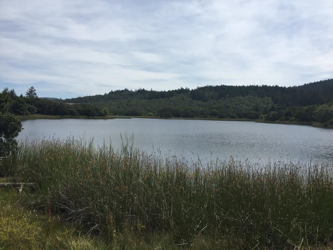
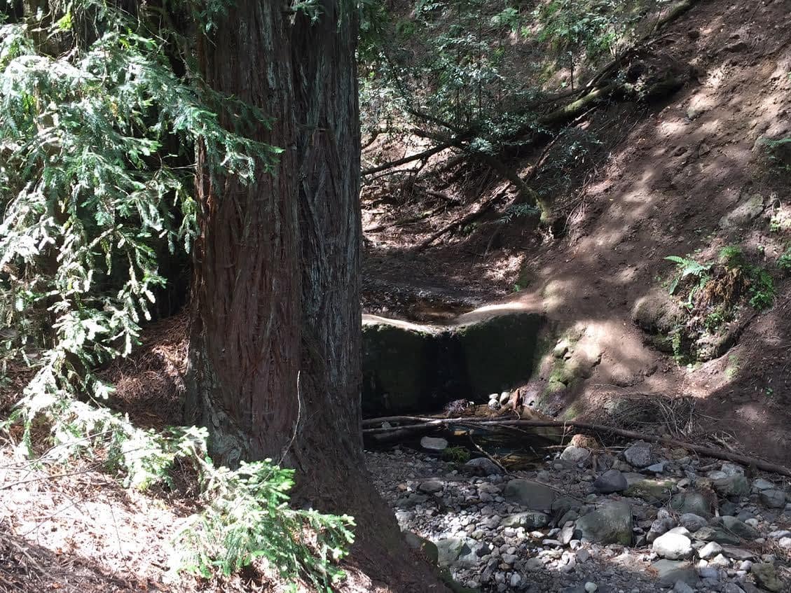
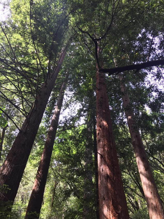
Annadel State park features different ecosystems including volcanic rocks, rivers, large pine trees and even a lake! Yes, Lake Illsanjo, a manmade lake created in the 1950s, is a popular local waterhole for fishing and swimming during the summer months.
Although Annadel State Park is state park of California, the County of Sonoma has operated the park since 2012 in an effort to help prevent its closure due to state park budget cuts.
Annadel State Park Hikig Trail Estimated Time: 2-4 hours
Santa Rosa Hike Total Distance: 4-6 miles
Trail Pictures
Map & Directions
Annadel State Park Hiking Trail Photo Gallery
Santa Rosa Hiking Trail Image Gallery (click on image to rotate through image/s)
Annadel State Park Hike
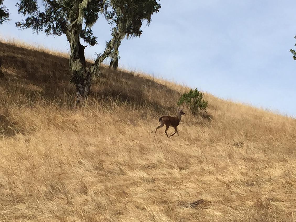
Wildlife Exploring
Annadel State Park Hike
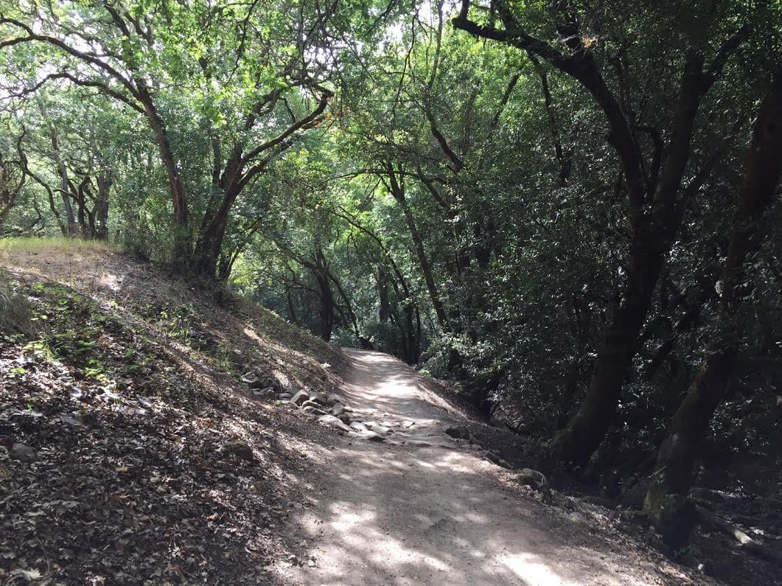
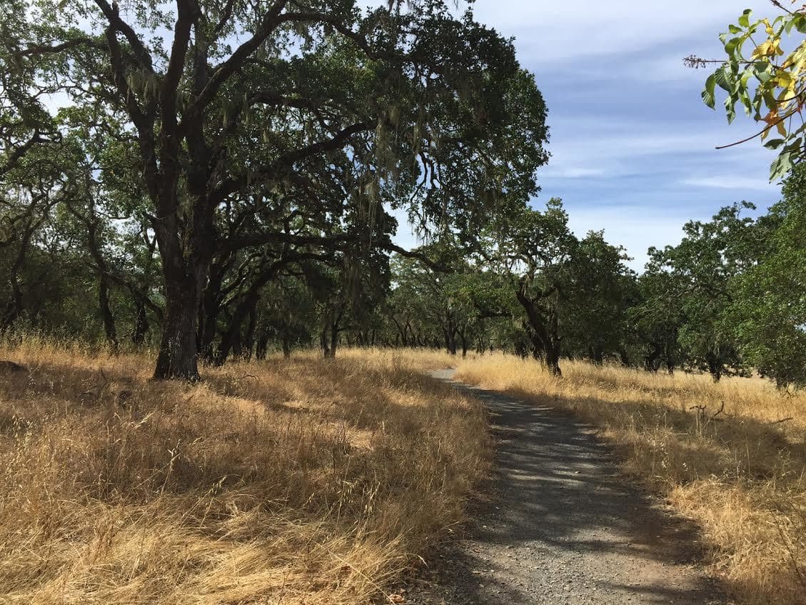
Annadel State Park Hiking Trail
Annadel State Park Hike
Lake IIsanjo
Lake IIsanjo
Lake IIsanjo
Lake IIsanjo
Annadel State Park Hike
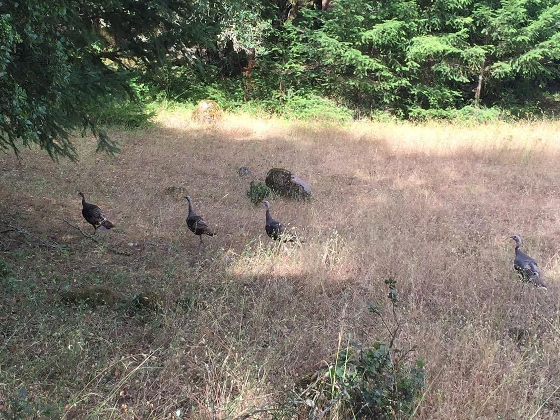
Wild Turkeys
Annadel State Park Hike
Annadel State Park Hike
Annadel State Park Hike
Hikers enjoying Annadel State Park
Annadel State Park Hike
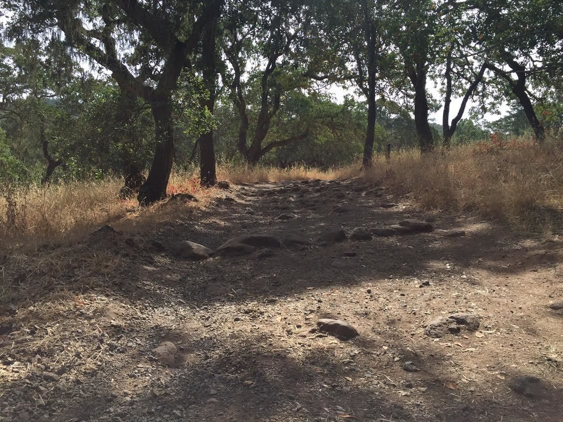
Annadel State Park Trail
Annadel State Park Hike
Annadel State Park
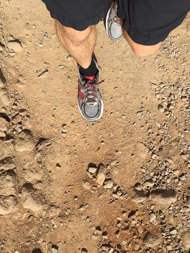
Annadel State Park Hike
Annadel State Park Hike
Annadel State Park Hike
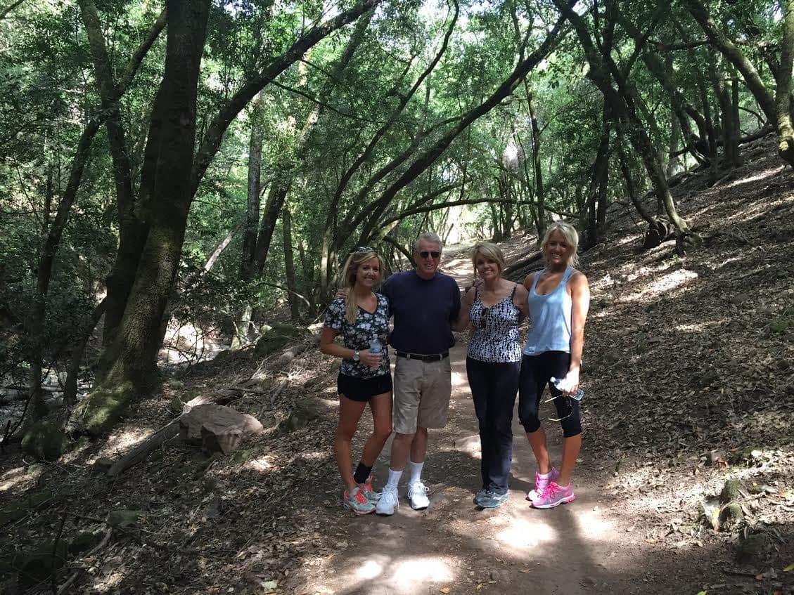
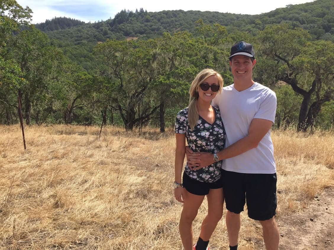
The Go Hike It Founders!
Annadel State Park Hike
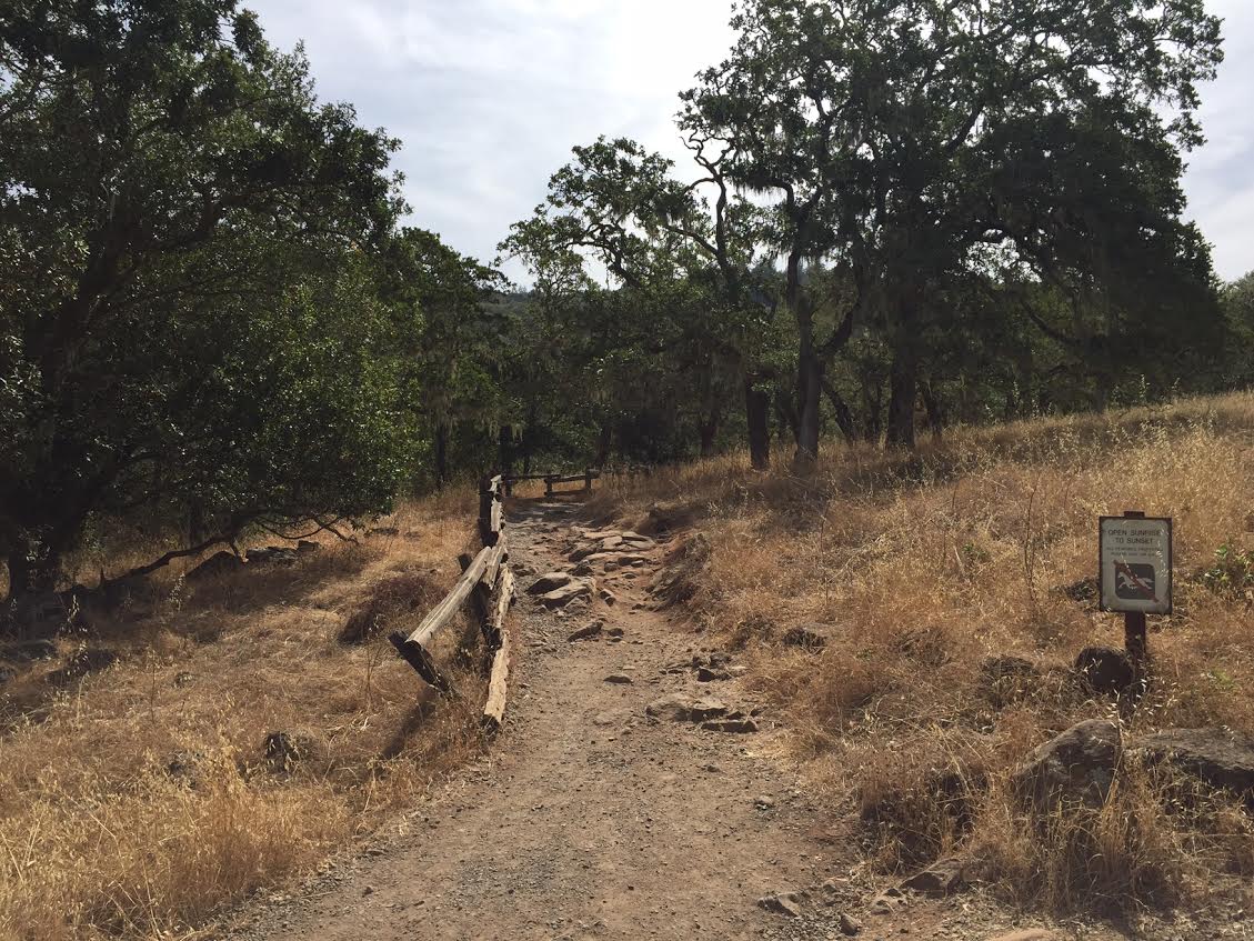
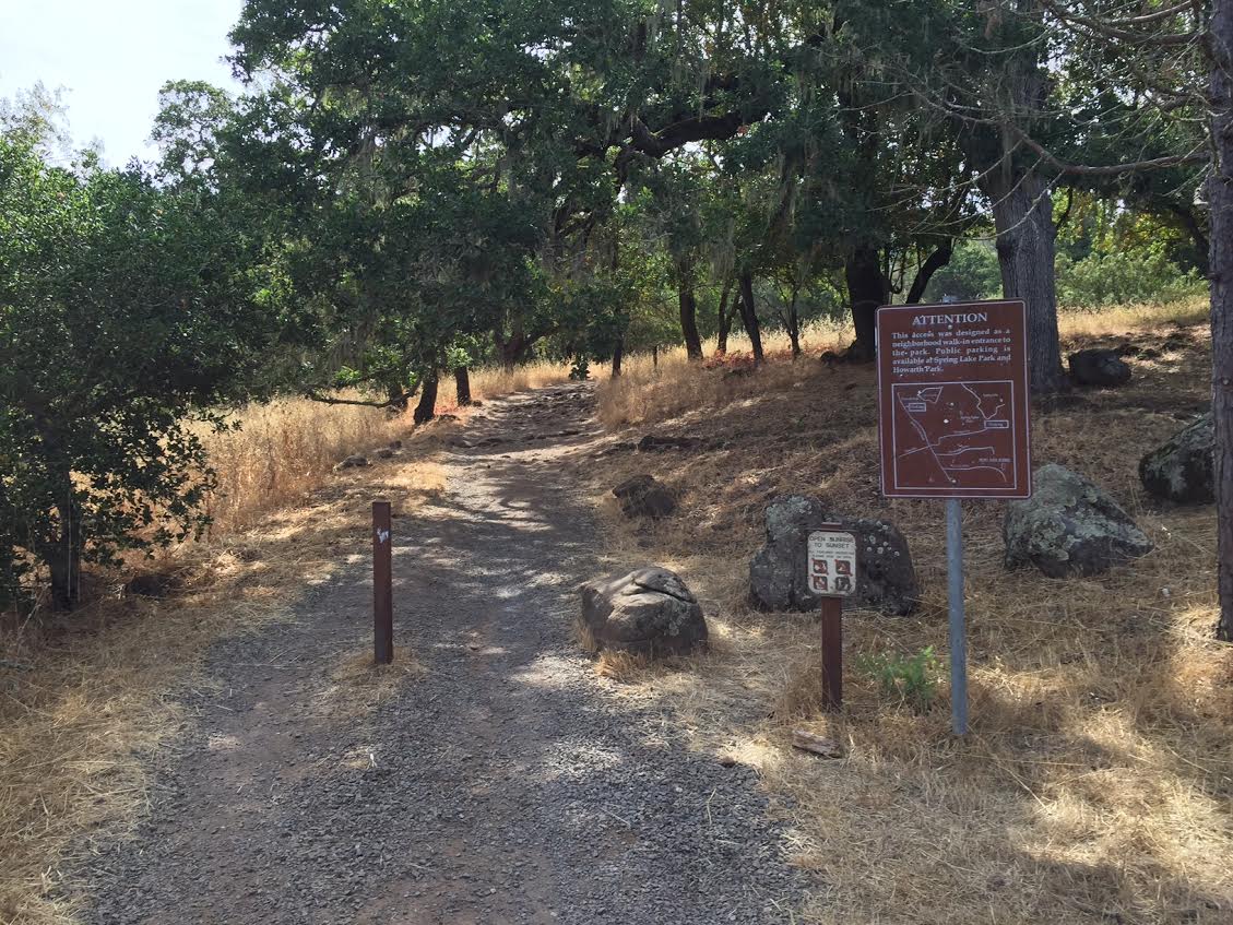
One of the trail entrances
When to Go
Summer is the ideal spot to explore Annadel State Park, especially if you want to go swimming in Lake Ilsanjo. If you do explore this hiking trail during the summer months, it’s recommended to start your adventure early and bring plenty of water and dress appropriately for the weather.
The Spring and Fall are also good times to explore this hiking adventure (the water may just be a little cool for a swim).
Dog Friendly
No, dogs are not allowed in the park.
Well-maintained Trails
Beautiful Wine Country Views
Swimming Available in the Lake
Picnic Areas
Trail Map
Directions
Address for GPS: Carissa Ave, Santa Rosa, CA 95404
Live Traffic Map: Directions from San Francisco via Google Maps below.
Total Distance (miles)
Total Estimated Time (hours)
Intensity Levels
Barry-the-Bear: Annadel was beautiful! After exploring a few local Sonoma wineries, we explore these hiking trails. It was ulqnieu to see the volcanic rock formations and then follow the river trail up to the Lake!
- Intensity Level 60%
Larry-the-Lion: Wow! Who would have thought that you can go fishing and swimming in the same lake?!?! We brought a picnic and enjoyed a relaxing afternoon at the Lake. I’m glad we brought plenty of sunscreen and water as it was hot!
- Intensity Level 40%
Chris-the-Cheetah: Horses? …Bikers? …Hikers? …Oh, my! There were a lot of adventures exploring the trails during our visit to Annadel. However, the activity did not slow us down and we enjoyed a brisk hike up to the Lake and around the trails adjacent to it. There was a slight incline to start the hike, which was a little challenging, even for the mighty of cheetahs!
- Intensity Level 25%
Why We Liked It
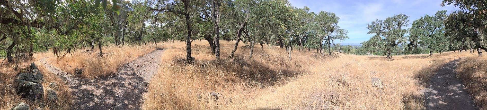
Annadel State Park is situated on a hill overlooking Santa Rose and beautiful Sonoma County. We were able to enjoy panoramic views of the local hills and explore the different ecosystems of the park, including the volcanic rock formations and trees adjacent to the lake.
Although there were handfuls of hikers and bikers out on the trails, we still felt secluded and saw local wildlife, including deer, ducks and wild turkeys!
Trail Pictures
Map & Directions
Enjoy it?
Have you hiked in Santa Rosa? Leave a comment and share your tips!