| General Overview: |
If you’re looking for a challenging Southern California hike with beautiful scenery, Los Pinos Peak Hiking Trail is an ideal destination! And, it will not take up your entire day!
Los Pinos Peak is a prominent 4,510 foot peak within the Santa Ana Mountains, offering endless views of Lake Elsinore and the Cleveland National Forest. In fact, it’s the 4th tallest peak in the Santa Ana range. Los Pinos offers well-maintained trails, a steep summit challenge, extensive vista views, plentiful wildflowers, and (surprise) pine trees near the top of the summit!

Los Pinos Peak Hiking Trail offers a great work-out and plenty of gorgeous views. This Southern California hike takes approximately two- three hours, and by the end, you feel like you’ve had some good exercise! We enjoyed this hike for its beautiful landscape, peaceful terrain, and challenging inclines.
Trail Map:
View Los Pinos Peak – Ortega Canyon Hiking Trail in a larger map
Directions/Address/Where to Park:
From Interstate 5:
-
Take the Ortega Highway (California 74) exit in San Juan Capistrano and proceed east for about 22 miles to Long Canyon Road (unsigned – the first paved road on your left about .40 miles past the candy store).
-
This road, which is a single lane at points, winds up the Santa Ana Mountains, where you will eventually come to a fork in the road. A left goes to Blue Jay campground and a right will lead you to the section of the North Main Divide Road, where the gate is usually closed. Make a right at the fork and park at the trail head near the gate. A Forest Adventure Pass is required for Parking.
-
Sometimes, the gate will be open to allow vehicles deeper into the Santa Ana Mountains. You can shorten the hike by 3 miles by driving carefully up the uneven single lane dirt road. We recommend a vehicle with some clearance, if you decide to go further up the road as it does have some rough patches.
What to Bring:
When to Go:
- Fall/Late Winter/Early Spring: Avoid the warmer summer months, if possible. The Go Hike It Team went in late summer / early fall and the weather was gorgeous! Also, in extreme weather conditions snow may be possible in the winter months, so dress accordingly.
How it Looks:
 |
| Gate to the North Main Divide Road (it’s normally closed). Park outside the gate and leave a Forest Adventure Pass displayed on the car’s dash. |
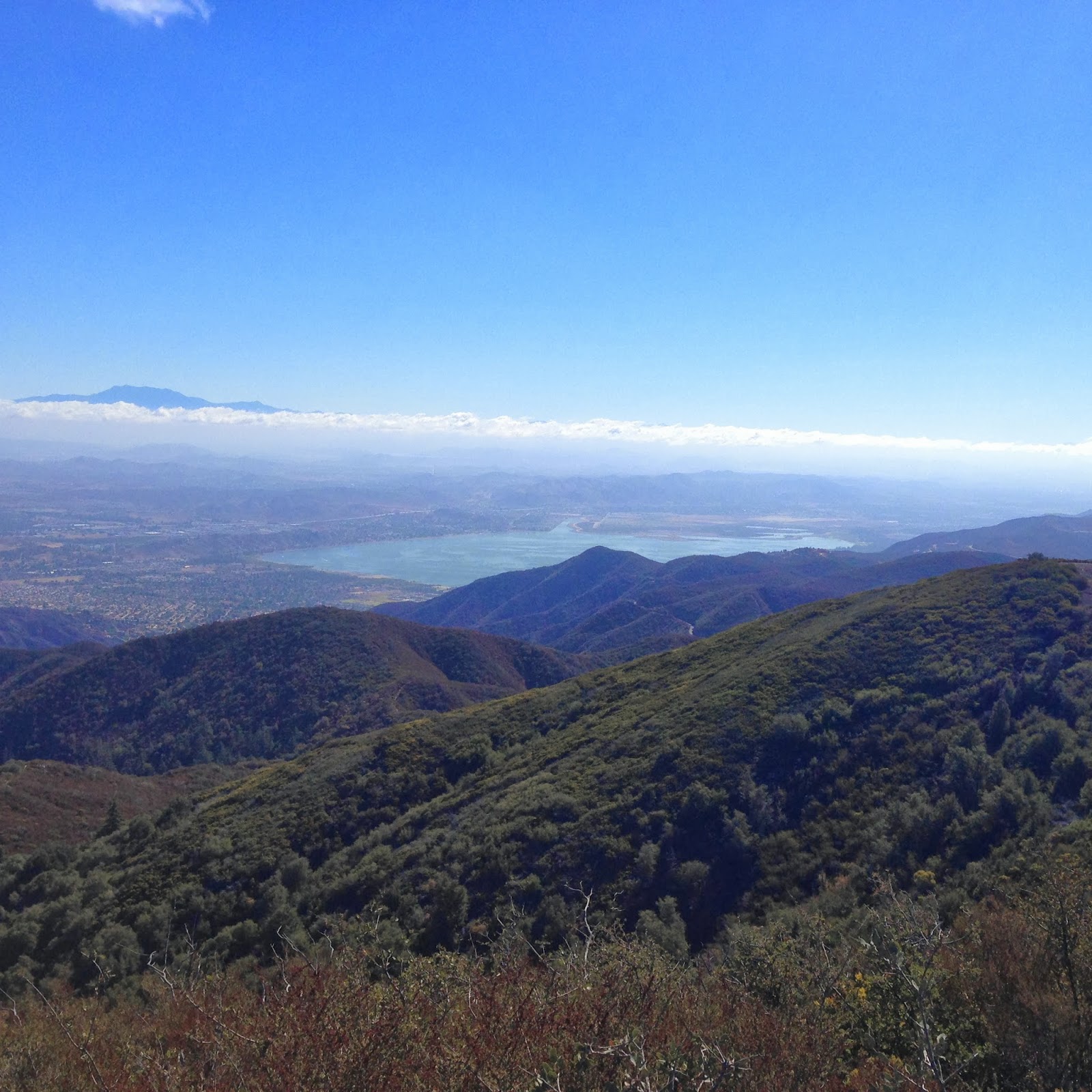 |
| View from the trial up. Lake Elsinore is off in the distance. |
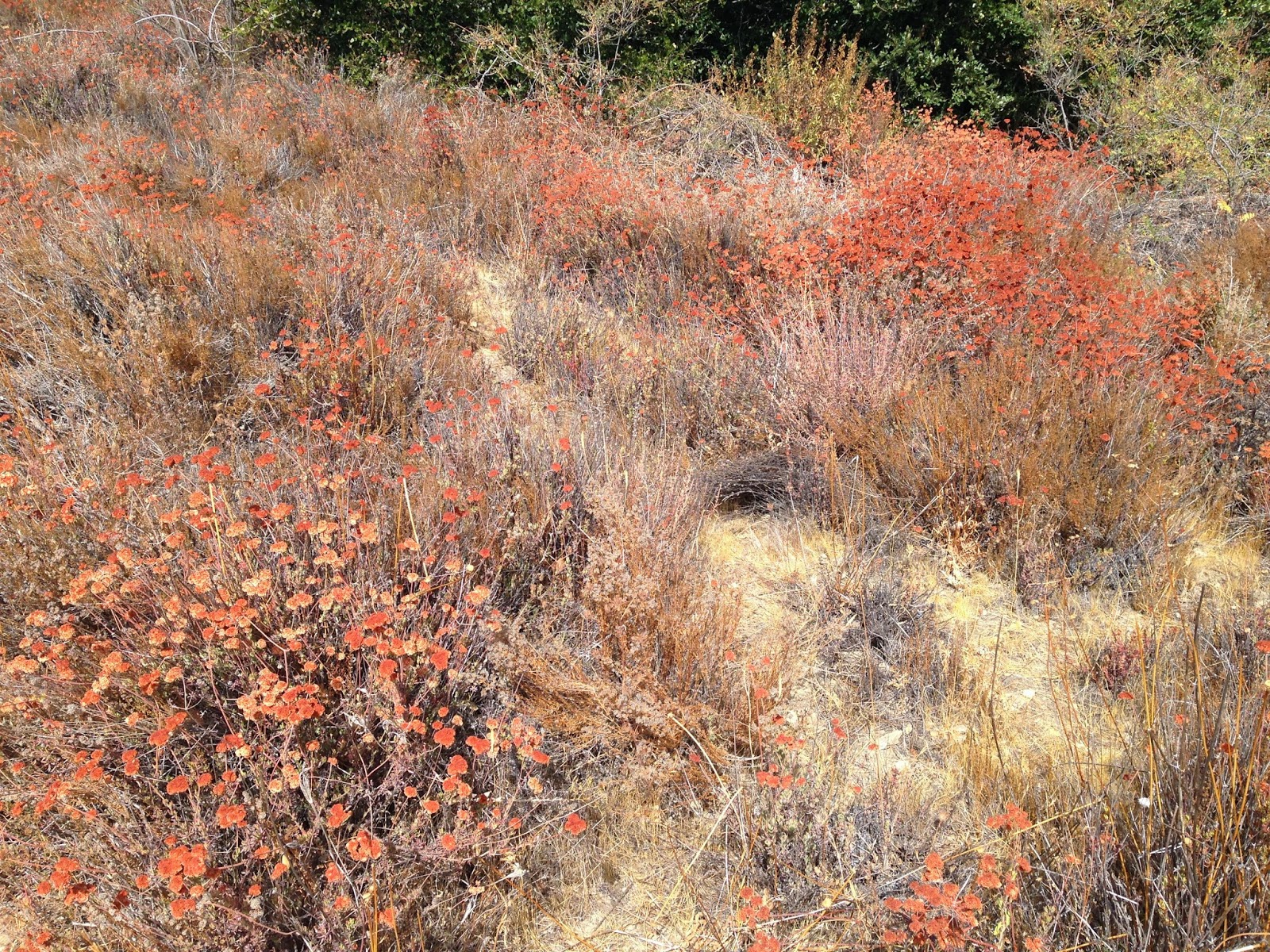 |
| Colorful wild Flowers. |
 |
||
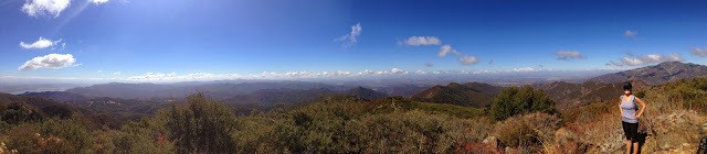
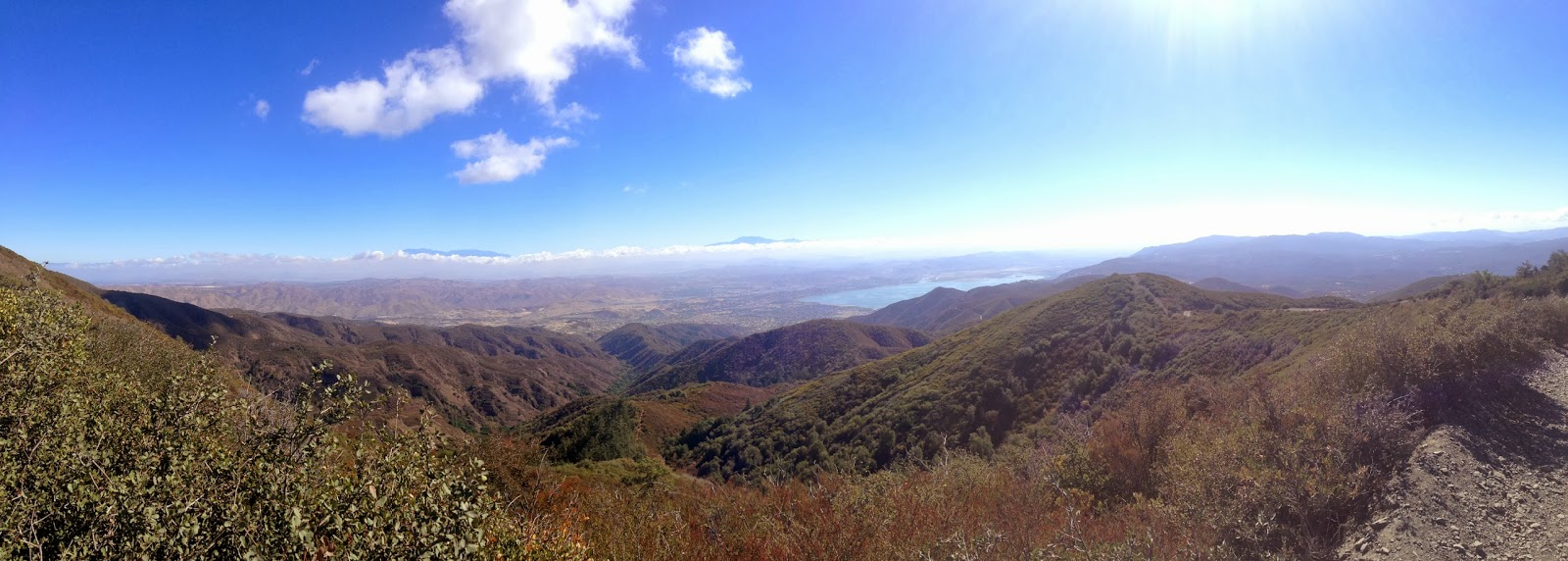
| Panoramic looking East along the North Main Divide Road. Lake Elsinore is off in the distance. |
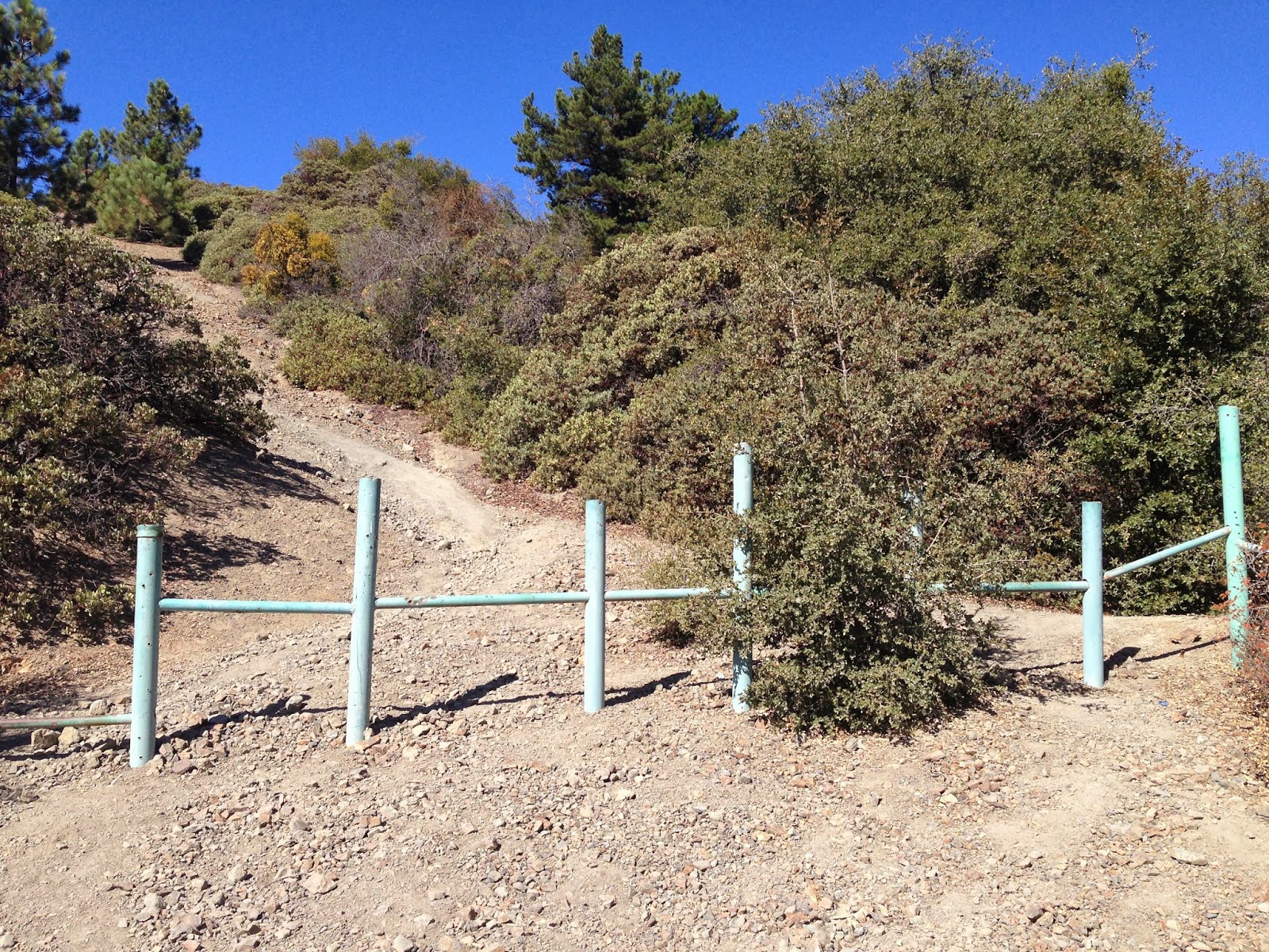 |
| This fence section marks the start of the single track to the summit. You can park here if the gate is open. |
 |
| Single track to the peak. |
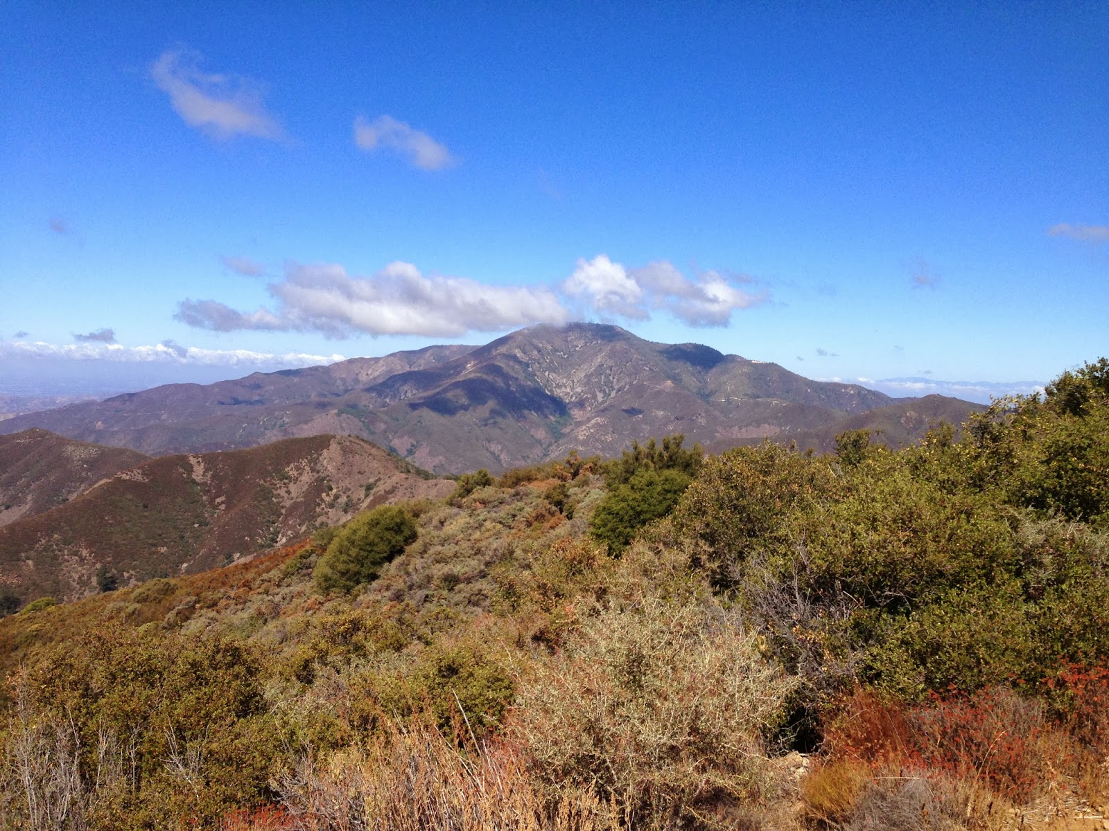 |
| Saddleback Mountain off in the distance. |
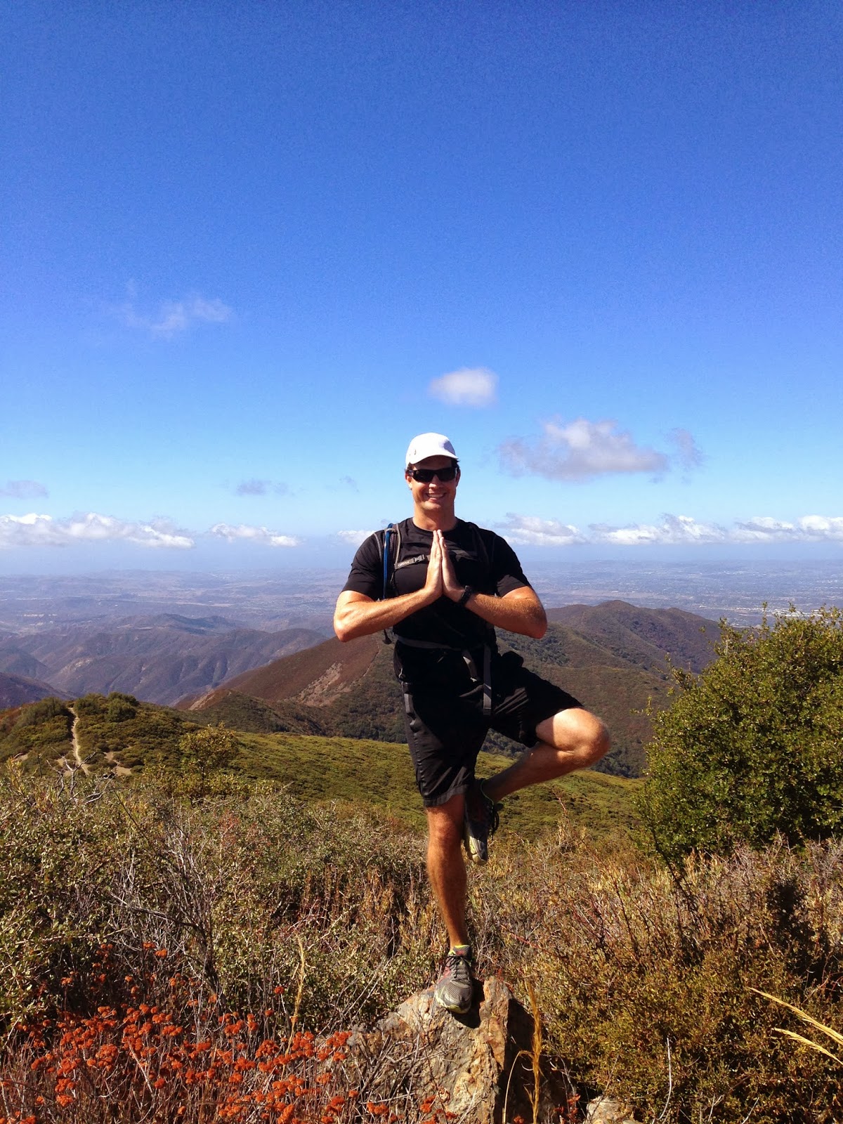 |
| Hiker finding balance on top of Los Pinos Peak. |
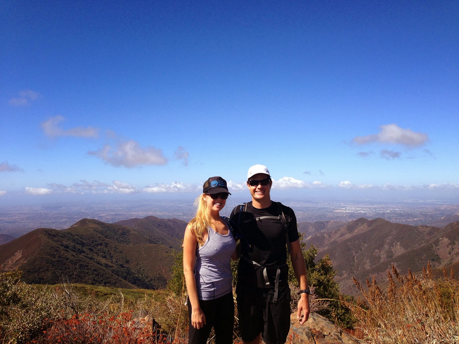 |
| Hikers enjoying views from the summit. |
Dog Friendly:
- We couldn’t find anywhere that said no dogs permitted. You may want to do some research online though.
Intensity Levels:
- Barry-the-Bear: “This hike took me about 3 hours and was TOUGH. I wish I had drove up the trail further, to take out some of the distance. After the hike, we drove to San Juan Capistrano and enjoyed lunch by the old mission. After completing this hike, I’m tempted to climb Saddleback Mountain!”
- Larry-the-Lion: “A fun morning hike with beautiful views! I’m glad I completed Cowles Mountain, before attempting this hike. I brought some snacks and enjoyed at the top of Los Pinos Peak. I’m glad I brought extra water! Can’t wait to go back!”
- Chris-the-Cheetah:
“I started this hike at the Blue Jay Campground to increase its distance and wore a weight vest to make it more of a challenge. The uphill with the vest was a challenge, which I love!”